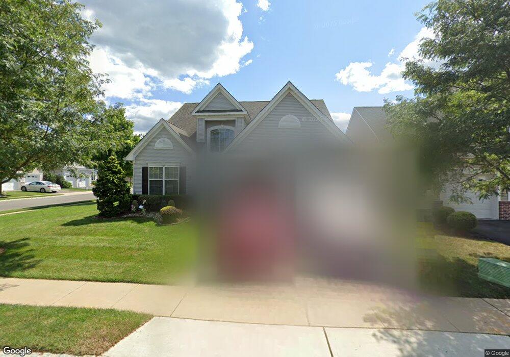
2 Hight Blvd Hightstown, NJ 08520
Estimated Value: $623,000 - $640,000
--
Bed
--
Bath
2,276
Sq Ft
$277/Sq Ft
Est. Value
About This Home
This home is located at 2 Hight Blvd, Hightstown, NJ 08520 and is currently estimated at $629,588, approximately $276 per square foot. 2 Hight Blvd is a home located in Mercer County with nearby schools including Melvin H. Kreps Middle School, Hightstown High School, and SciCore Academy.
Ownership History
Date
Name
Owned For
Owner Type
Purchase Details
Closed on
Dec 29, 2021
Sold by
Romm Steven M
Bought by
Aquia Lauren
Current Estimated Value
Purchase Details
Closed on
Nov 13, 2006
Sold by
Enchantment At Hightstown Llc
Bought by
Romm Lynne and Romm Steven
Create a Home Valuation Report for This Property
The Home Valuation Report is an in-depth analysis detailing your home's value as well as a comparison with similar homes in the area
Home Values in the Area
Average Home Value in this Area
Purchase History
| Date | Buyer | Sale Price | Title Company |
|---|---|---|---|
| Aquia Lauren | -- | First American Title | |
| Romm Lynne | $453,565 | -- | |
| -- | $453,600 | -- |
Source: Public Records
Tax History Compared to Growth
Tax History
| Year | Tax Paid | Tax Assessment Tax Assessment Total Assessment is a certain percentage of the fair market value that is determined by local assessors to be the total taxable value of land and additions on the property. | Land | Improvement |
|---|---|---|---|---|
| 2025 | $13,243 | $270,100 | $69,300 | $200,800 |
| 2024 | $13,108 | $270,100 | $69,300 | $200,800 |
| 2023 | $13,108 | $270,100 | $69,300 | $200,800 |
| 2022 | $12,654 | $270,100 | $69,300 | $200,800 |
| 2021 | $12,198 | $270,100 | $69,300 | $200,800 |
| 2020 | $11,670 | $270,100 | $69,300 | $200,800 |
| 2019 | $11,587 | $270,100 | $69,300 | $200,800 |
| 2018 | $11,250 | $270,100 | $69,300 | $200,800 |
| 2017 | $11,134 | $270,100 | $69,300 | $200,800 |
| 2016 | $11,036 | $270,100 | $69,300 | $200,800 |
| 2015 | $10,966 | $270,100 | $69,300 | $200,800 |
| 2014 | $11,036 | $270,100 | $69,300 | $200,800 |
Source: Public Records
Map
Nearby Homes
- 23 Barton Dr
- 4 Brakeman Ct
- 43 Norton Ave
- 344 Monmouth St
- 164 Mill Run E Unit 141
- 1 Huber Ct
- 336 Monmouth St
- 126 Mill Run E
- 126 Mill Run E Unit 84
- 124 Mill Run E Unit 85
- 23 Powell Ct
- 5 Mill Run W
- 219 Maxwell Ave
- 50 -18 Garden View Terrace
- 4 Sandstone Rd
- 453 Route 33 E
- 30 Frost Ln
- 47 Garden View Terrace
- 203 Hutchinson St
- 15 Brownstone Rd