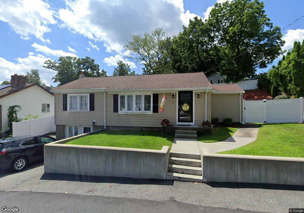
2 Hinston Rd Woburn, MA 01801
Mishawum NeighborhoodEstimated Value: $573,052 - $684,000
3
Beds
1
Bath
1,032
Sq Ft
$603/Sq Ft
Est. Value
About This Home
This home is located at 2 Hinston Rd, Woburn, MA 01801 and is currently estimated at $622,013, approximately $602 per square foot. 2 Hinston Rd is a home located in Middlesex County with nearby schools including Malcolm White Elementary School, John F. Kennedy Middle School, and Woburn High School.
Create a Home Valuation Report for This Property
The Home Valuation Report is an in-depth analysis detailing your home's value as well as a comparison with similar homes in the area
Home Values in the Area
Average Home Value in this Area
Tax History Compared to Growth
Tax History
| Year | Tax Paid | Tax Assessment Tax Assessment Total Assessment is a certain percentage of the fair market value that is determined by local assessors to be the total taxable value of land and additions on the property. | Land | Improvement |
|---|---|---|---|---|
| 2025 | $4,185 | $490,000 | $288,500 | $201,500 |
| 2024 | $3,838 | $476,200 | $274,700 | $201,500 |
| 2023 | $3,864 | $444,100 | $249,800 | $194,300 |
| 2022 | $3,748 | $401,300 | $217,200 | $184,100 |
| 2021 | $16,327 | $378,600 | $206,800 | $171,800 |
| 2020 | $3,328 | $357,100 | $206,800 | $150,300 |
| 2019 | $3,242 | $341,300 | $197,000 | $144,300 |
| 2018 | $3,124 | $315,900 | $180,700 | $135,200 |
| 2017 | $3,012 | $303,000 | $172,100 | $130,900 |
| 2016 | $2,868 | $285,400 | $160,900 | $124,500 |
| 2015 | $2,751 | $270,500 | $150,300 | $120,200 |
| 2014 | $2,590 | $248,100 | $150,300 | $97,800 |
Source: Public Records
Map
Nearby Homes
- 74 Beach St Unit 6-12
- 74 Beach St Unit 3
- 52 Middle St
- 38 Middle St
- 0 Fryeburg Rd
- 295 Salem St Unit 69
- 3 Highet Ave
- 18 Carmen Terrace
- 1 Boline Place
- 12 Mishawum Rd
- 18 Gardner Ave
- 2 Eastern Ave
- 8 Clinton St
- 9 Wade Ave
- 14 Church Ave
- 14 Church Ave Unit 2
- 602 Main St Unit 1
- 3 Laurel St
- 4 Laurel St
- 3 Frank St