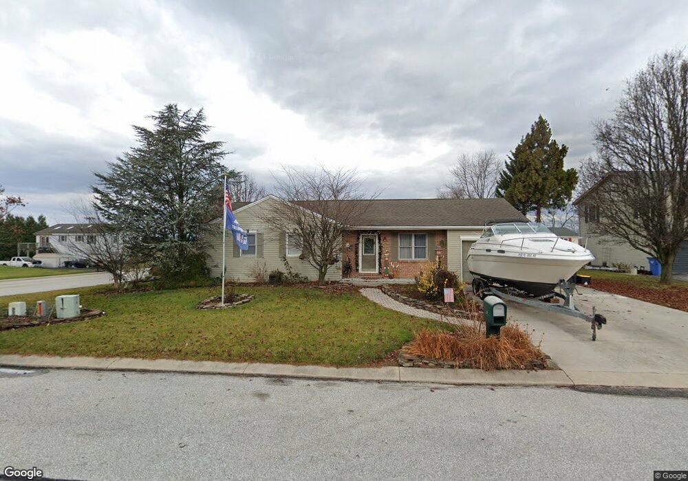
2 Holly Ct Unit 8 Littlestown, PA 17340
Estimated Value: $252,000 - $320,000
3
Beds
2
Baths
1,056
Sq Ft
$264/Sq Ft
Est. Value
About This Home
This home is located at 2 Holly Ct Unit 8, Littlestown, PA 17340 and is currently estimated at $278,533, approximately $263 per square foot. 2 Holly Ct Unit 8 is a home located in Adams County with nearby schools including Rolling Acres El School, Maple Avenue Middle School, and Littlestown Senior High School.
Ownership History
Date
Name
Owned For
Owner Type
Purchase Details
Closed on
Jun 4, 2008
Sold by
Weishaar Chad Allen and Weishaar Kristi Lynn
Bought by
Weishaar Chad Allen
Current Estimated Value
Home Financials for this Owner
Home Financials are based on the most recent Mortgage that was taken out on this home.
Original Mortgage
$152,000
Outstanding Balance
$97,837
Interest Rate
6.11%
Mortgage Type
New Conventional
Estimated Equity
$180,696
Create a Home Valuation Report for This Property
The Home Valuation Report is an in-depth analysis detailing your home's value as well as a comparison with similar homes in the area
Home Values in the Area
Average Home Value in this Area
Purchase History
| Date | Buyer | Sale Price | Title Company |
|---|---|---|---|
| Weishaar Chad Allen | -- | -- |
Source: Public Records
Mortgage History
| Date | Status | Borrower | Loan Amount |
|---|---|---|---|
| Open | Weishaar Chad Allen | $152,000 |
Source: Public Records
Tax History Compared to Growth
Tax History
| Year | Tax Paid | Tax Assessment Tax Assessment Total Assessment is a certain percentage of the fair market value that is determined by local assessors to be the total taxable value of land and additions on the property. | Land | Improvement |
|---|---|---|---|---|
| 2025 | $4,254 | $172,900 | $25,400 | $147,500 |
| 2024 | $3,547 | $172,900 | $25,400 | $147,500 |
| 2023 | $3,442 | $172,900 | $25,400 | $147,500 |
| 2022 | $3,333 | $172,900 | $25,400 | $147,500 |
| 2021 | $3,225 | $172,900 | $25,400 | $147,500 |
| 2020 | $3,382 | $172,900 | $25,400 | $147,500 |
| 2019 | $3,312 | $172,900 | $25,400 | $147,500 |
| 2018 | $3,058 | $172,900 | $25,400 | $147,500 |
| 2017 | $2,972 | $172,900 | $25,400 | $147,500 |
| 2016 | -- | $172,900 | $25,400 | $147,500 |
| 2015 | -- | $172,900 | $25,400 | $147,500 |
| 2014 | -- | $172,900 | $25,400 | $147,500 |
Source: Public Records
Map
Nearby Homes
- 28 Bonniefield Cir Unit 25
- 67 Cedarfield Dr
- 138 Cedarfield Dr Unit 71
- 1 Hickory Ave
- 27 Maple St
- 8 Maple St
- 48 Cannon Ln Unit 105
- 34 W Hanover St
- 13 N Pine St
- 25 Harvest Dr
- 780 White Hall Rd
- 464 Locust Ln
- 549 Grant Dr Unit 549
- 871 Sherman Dr Unit 871
- 3801 Baltimore Pike
- 2746 Baltimore Pike
- 198 Longstreet Dr Unit 198
- 0 Littlestown Rd
- 930 Hoffman Rd
- 279 Longstreet Dr Unit 279
- 4 Holly Ct Unit 9
- 1447 Hickory Rd Unit 7
- 1453 Hickory Rd Unit 6
- 3 White Birch Dr Unit 18
- 1 Holly Ct Unit 13
- 6 Holly Ct Unit 10
- 5 White Birch Dr Unit 17
- 3 Holly Ct Unit 12
- 1 White Birch Dr Unit 19
- 1461 Hickory Rd Unit 5
- lot 9 Hickory Rd
- Lot 12 Hickory Rd
- 8 White Birch Dr Unit 14
- 7 White Birch Dr Unit 16
- 4 Sycamore Ct Unit 65
- 76 Maple St Unit 3
- 2 Sycamore Ct Unit 64
- 78 Maple St Unit 2
- 78 Maple St Unit 78