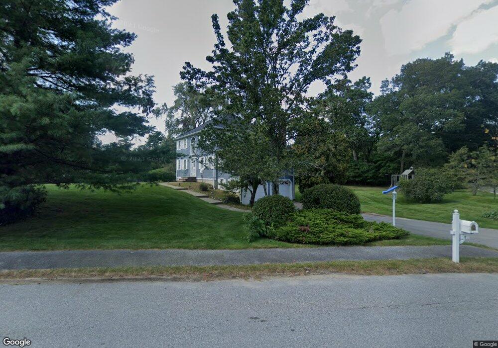
2 Iron Gate Dr Andover, MA 01810
Shawsheen Heights NeighborhoodEstimated Value: $924,000 - $1,009,000
3
Beds
3
Baths
2,120
Sq Ft
$459/Sq Ft
Est. Value
About This Home
This home is located at 2 Iron Gate Dr, Andover, MA 01810 and is currently estimated at $972,689, approximately $458 per square foot. 2 Iron Gate Dr is a home located in Essex County with nearby schools including West Elementary School, Wood Hill Middle School, and Willow River Secondary School.
Ownership History
Date
Name
Owned For
Owner Type
Purchase Details
Closed on
Jul 16, 2004
Sold by
Bovia Rt and Bovia
Bought by
Colantuoni Amy and Tsai David H
Current Estimated Value
Home Financials for this Owner
Home Financials are based on the most recent Mortgage that was taken out on this home.
Original Mortgage
$496,000
Interest Rate
6.25%
Mortgage Type
Purchase Money Mortgage
Purchase Details
Closed on
Jan 22, 1993
Sold by
Henderson Stephen J
Bought by
Bovia David P
Purchase Details
Closed on
Oct 4, 1990
Sold by
Hearthstone Rt
Bought by
Picwel Builders Inc
Create a Home Valuation Report for This Property
The Home Valuation Report is an in-depth analysis detailing your home's value as well as a comparison with similar homes in the area
Home Values in the Area
Average Home Value in this Area
Purchase History
| Date | Buyer | Sale Price | Title Company |
|---|---|---|---|
| Colantuoni Amy | $620,000 | -- | |
| Colantuoni Amy | $620,000 | -- | |
| Bovia David P | $239,900 | -- | |
| Bovia David P | $239,900 | -- | |
| Picwel Builders Inc | $90,000 | -- | |
| Picwel Builders Inc | $90,000 | -- |
Source: Public Records
Mortgage History
| Date | Status | Borrower | Loan Amount |
|---|---|---|---|
| Open | Picwel Builders Inc | $532,915 | |
| Closed | Colantuoni Amy | $496,000 |
Source: Public Records
Tax History Compared to Growth
Tax History
| Year | Tax Paid | Tax Assessment Tax Assessment Total Assessment is a certain percentage of the fair market value that is determined by local assessors to be the total taxable value of land and additions on the property. | Land | Improvement |
|---|---|---|---|---|
| 2024 | $10,949 | $850,100 | $474,600 | $375,500 |
| 2023 | $10,196 | $746,400 | $405,800 | $340,600 |
| 2022 | $9,783 | $670,100 | $365,700 | $304,400 |
| 2021 | $9,382 | $613,600 | $332,600 | $281,000 |
| 2020 | $9,147 | $609,400 | $332,600 | $276,800 |
| 2019 | $9,246 | $605,500 | $332,600 | $272,900 |
| 2018 | $8,998 | $575,300 | $323,100 | $252,200 |
| 2017 | $8,625 | $568,200 | $316,500 | $251,700 |
| 2016 | $8,447 | $570,000 | $316,500 | $253,500 |
| 2015 | $8,334 | $556,700 | $316,500 | $240,200 |
Source: Public Records
Map
Nearby Homes
- 29 Glenwood Dr
- 0
- 96 Beacon St
- 25 Clubview Dr Unit 25
- 13 Clubview Dr Unit 13
- 11 Devonshire St
- 21 Clubview Dr Unit 21
- 5 Marc Ln
- 37 Crenshaw Ln Unit 37
- 750 Brookside Dr Unit G
- 42 Beresford St
- 54 Amherst St
- 15 Beaconsfield St
- 33 Jefferson St
- 37 Tewksbury St Unit 39
- 11 W Hawley St
- 102 Weare St
- 8 Packard St
- 34 Leeds Terrace
- 5 W Kenneth St
- 1 Iron Gate Dr
- 3 Iron Gate Dr
- 4 Southridge Cir
- 3 Southridge Cir
- 5 Iron Gate Dr
- 64 Chandler Rd
- 58 Chandler Rd
- 72 Chandler Rd
- 5 Southridge Cir
- 66 Chandler Rd
- 62 Chandler Rd
- 6 Southridge Cir
- 7 Iron Gate Dr
- 6 Iron Gate Dr
- 1 North St
- 7 Southridge Cir
- 8 Southridge Cir
- 9 Iron Gate Dr
- 9 Southridge Cir
- 78 Chandler Rd