2 Ironwood Path Unit 181 Mashpee, MA 02649
Estimated Value: $622,000 - $667,949
2
Beds
4
Baths
2,400
Sq Ft
$269/Sq Ft
Est. Value
About This Home
This home is located at 2 Ironwood Path Unit 181, Mashpee, MA 02649 and is currently estimated at $646,487, approximately $269 per square foot. 2 Ironwood Path Unit 181 is a home located in Barnstable County with nearby schools including Kenneth C. Coombs School, Quashnet School, and Mashpee Middle School.
Ownership History
Date
Name
Owned For
Owner Type
Purchase Details
Closed on
Mar 10, 2020
Sold by
Taurus Drive 44 Rt
Bought by
Horton Travis L and Horton Nancy M
Current Estimated Value
Home Financials for this Owner
Home Financials are based on the most recent Mortgage that was taken out on this home.
Original Mortgage
$335,327
Outstanding Balance
$296,414
Interest Rate
3.4%
Mortgage Type
New Conventional
Estimated Equity
$350,073
Purchase Details
Closed on
Dec 18, 2009
Sold by
Briones Richard J and Briones Florence T
Bought by
Taurus Drive 44 Rt
Purchase Details
Closed on
Oct 30, 2003
Sold by
Cape Southport Assocs
Bought by
Briones Richard J
Home Financials for this Owner
Home Financials are based on the most recent Mortgage that was taken out on this home.
Original Mortgage
$257,900
Interest Rate
6.05%
Mortgage Type
Purchase Money Mortgage
Create a Home Valuation Report for This Property
The Home Valuation Report is an in-depth analysis detailing your home's value as well as a comparison with similar homes in the area
Home Values in the Area
Average Home Value in this Area
Purchase History
| Date | Buyer | Sale Price | Title Company |
|---|---|---|---|
| Horton Travis L | $373,000 | None Available | |
| Taurus Drive 44 Rt | $368,000 | -- | |
| Briones Richard J | $322,400 | -- |
Source: Public Records
Mortgage History
| Date | Status | Borrower | Loan Amount |
|---|---|---|---|
| Open | Horton Travis L | $335,327 | |
| Previous Owner | Briones Richard J | $257,900 |
Source: Public Records
Tax History Compared to Growth
Tax History
| Year | Tax Paid | Tax Assessment Tax Assessment Total Assessment is a certain percentage of the fair market value that is determined by local assessors to be the total taxable value of land and additions on the property. | Land | Improvement |
|---|---|---|---|---|
| 2025 | $3,839 | $579,900 | $0 | $579,900 |
| 2024 | $3,708 | $576,600 | $0 | $576,600 |
| 2023 | $3,588 | $511,800 | $0 | $511,800 |
| 2022 | $3,545 | $433,900 | $0 | $433,900 |
| 2021 | $3,756 | $414,100 | $0 | $414,100 |
| 2020 | $3,677 | $404,500 | $0 | $404,500 |
| 2019 | $3,863 | $426,800 | $0 | $426,800 |
| 2018 | $3,739 | $419,200 | $0 | $419,200 |
| 2017 | $3,743 | $407,300 | $0 | $407,300 |
| 2016 | $3,624 | $392,200 | $0 | $392,200 |
| 2015 | $3,205 | $351,800 | $0 | $351,800 |
| 2014 | $3,061 | $326,000 | $0 | $326,000 |
Source: Public Records
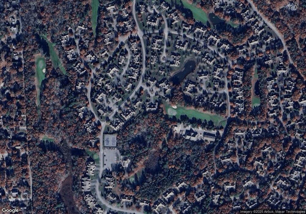
Map
Nearby Homes
- 15 Beacon Ct Unit 229
- 15 Beacon Ct
- 6 Masters Ct
- 4 N Ridge Rd Unit 431
- 4 N Ridge Rd
- 2 Pga Ln
- 15 Pebble Beach Ave Unit 2005-103
- 15 Pebble Beach Ave
- 8 Chippers Ln
- 8 Chippers Ln Unit 390
- 1 Upland Cir
- 1 Upland Cir Unit 1
- 115 Leisure Green Dr
- 115 Leisure Green Dr N
- 18 Executive Dr
- 18 Executive Dr Unit 18
- 14 Sandview Terrace
- 14 Sandview Terrace Unit 14
- 6 Friendship Ct Unit 90
- 6 Friendship Ct
- 4 Ironwood Path
- 2 Ironwood Path
- 1 Ironwood Path
- 4 Ironwood Path Unit 183
- 165 Leisure Green Dr N
- 165 Leisure Green Dr Unit 178
- 167 Leisure Green Dr
- 165 Leisure Green Dr
- 167 Leisure Green Dr N
- 10 Ironwood Path
- 8 Ironwood Path
- 6 Ironwood Path
- 10 Ironwood Path Unit 189
- 3 Ironwood Path
- 5 Ironwood Path
- 5 Ironwood Path Unit 5
- 5 Ironwood Path Unit 184
- 159 Leisure Green Dr
- 161 Leisure Green Dr
- 163 Leisure Green Dr