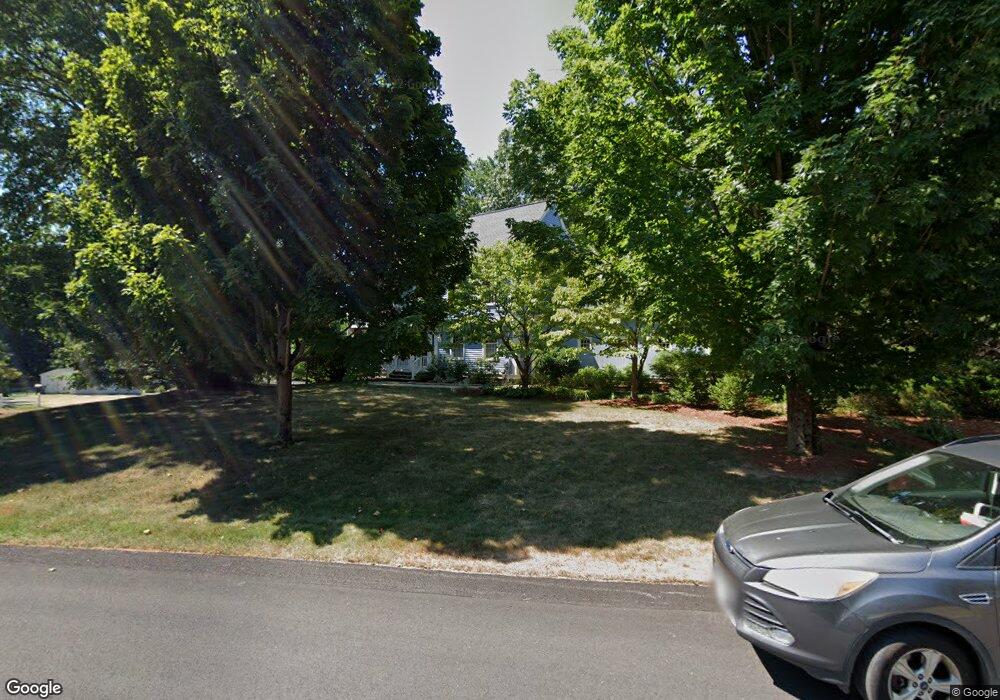
2 John Pratt Cir Westborough, MA 01581
Estimated Value: $1,222,678 - $1,328,000
4
Beds
3
Baths
3,212
Sq Ft
$401/Sq Ft
Est. Value
About This Home
This home is located at 2 John Pratt Cir, Westborough, MA 01581 and is currently estimated at $1,287,226, approximately $400 per square foot. 2 John Pratt Cir is a home located in Worcester County with nearby schools including Westborough High School, Advanced Math & Science Academy, and Westboro Knowledge Beginnings.
Ownership History
Date
Name
Owned For
Owner Type
Purchase Details
Closed on
Oct 16, 2023
Sold by
Messier John R and Messier Anne P
Bought by
John R Messier 1997 Ret and Messier
Current Estimated Value
Purchase Details
Closed on
May 13, 1994
Sold by
Carrageen Dev Corp
Bought by
Messier John R and Messier Anne
Home Financials for this Owner
Home Financials are based on the most recent Mortgage that was taken out on this home.
Original Mortgage
$300,000
Interest Rate
7.93%
Mortgage Type
Purchase Money Mortgage
Create a Home Valuation Report for This Property
The Home Valuation Report is an in-depth analysis detailing your home's value as well as a comparison with similar homes in the area
Home Values in the Area
Average Home Value in this Area
Purchase History
| Date | Buyer | Sale Price | Title Company |
|---|---|---|---|
| John R Messier 1997 Ret | -- | None Available | |
| Messier John R | $379,900 | -- |
Source: Public Records
Mortgage History
| Date | Status | Borrower | Loan Amount |
|---|---|---|---|
| Previous Owner | Messier John R | $234,039 | |
| Previous Owner | Messier John R | $240,000 | |
| Previous Owner | Messier John R | $300,000 |
Source: Public Records
Tax History Compared to Growth
Tax History
| Year | Tax Paid | Tax Assessment Tax Assessment Total Assessment is a certain percentage of the fair market value that is determined by local assessors to be the total taxable value of land and additions on the property. | Land | Improvement |
|---|---|---|---|---|
| 2025 | $16,163 | $992,200 | $356,600 | $635,600 |
| 2024 | $15,375 | $936,900 | $339,500 | $597,400 |
| 2023 | $14,284 | $848,200 | $320,100 | $528,100 |
| 2022 | $13,257 | $717,000 | $255,000 | $462,000 |
| 2021 | $13,104 | $706,800 | $244,800 | $462,000 |
| 2020 | $12,994 | $709,300 | $259,000 | $450,300 |
| 2019 | $13,014 | $710,000 | $255,000 | $455,000 |
| 2018 | $12,077 | $654,200 | $244,800 | $409,400 |
| 2017 | $11,645 | $654,200 | $244,800 | $409,400 |
| 2016 | $11,696 | $658,200 | $244,800 | $413,400 |
| 2015 | $11,191 | $602,000 | $216,200 | $385,800 |
Source: Public Records
Map
Nearby Homes
- 8 Samuel Harrington Rd
- 6 Walker St
- 28 Crestview Dr
- 8 Rock Spring Ln
- 3112 Peters Farm Way Unit 112
- 11302 Peters Farm Way Unit 11302
- 3102 Peters Farm Way Unit 102
- 12302 Peters Farm Way Unit 302
- 2 Talbot Way Unit 2103
- 2 Talbot Way Unit 2208
- 11101 Peters Farm Way Unit 101
- 5 Peters Farm Way Unit 106
- 5 Peters Farm Way Unit 406
- 5 Peters Farm Way Unit 113
- 5 Peters Farm Way Unit 105
- 5 Peters Farm Way Unit 213
- 5 Peters Farm Way Unit 212
- 2 Codman Way Unit 409
- 2 Codman Way Unit 113
- 2 Codman Way Unit 110
- 4 John Pratt Cir
- 10 Samuel Harrington Rd
- 7 Samuel Harrington Rd
- 9 Samuel Harrington Rd
- 12 Samuel Harrington Rd
- 3 John Pratt Cir
- 6 John Pratt Cir
- 15 Samuel Harrington Rd
- 11 Samuel Harrington Rd
- 5 Samuel Harrington Rd
- 43 Thomas Newton Dr
- 45 Thomas Newton Dr
- 5 John Pratt Cir
- 47 Thomas Newton Dr
- 14 Samuel Harrington Rd
- 8 John Pratt Cir
- 6 Samuel Harrington Rd
- 41 Thomas Newton Dr
- 49 Thomas Newton Dr
- 3 Samuel Harrington Rd