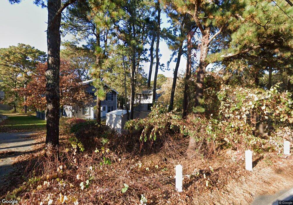
2 Lagrange Ave Vineyard Haven, MA 02568
Oak Bluffs NeighborhoodEstimated Value: $1,236,698 - $1,350,000
3
Beds
2
Baths
1,670
Sq Ft
$769/Sq Ft
Est. Value
About This Home
This home is located at 2 Lagrange Ave, Vineyard Haven, MA 02568 and is currently estimated at $1,284,675, approximately $769 per square foot. 2 Lagrange Ave is a home with nearby schools including Oak Bluffs Elementary School and Martha's Vineyard Regional High School.
Ownership History
Date
Name
Owned For
Owner Type
Purchase Details
Closed on
Apr 15, 1998
Sold by
Peters Mark and Brodnax Clarence W
Bought by
Perrotta Deacon P and Perrotta Kathleen F
Current Estimated Value
Create a Home Valuation Report for This Property
The Home Valuation Report is an in-depth analysis detailing your home's value as well as a comparison with similar homes in the area
Home Values in the Area
Average Home Value in this Area
Purchase History
| Date | Buyer | Sale Price | Title Company |
|---|---|---|---|
| Perrotta Deacon P | $155,000 | -- |
Source: Public Records
Mortgage History
| Date | Status | Borrower | Loan Amount |
|---|---|---|---|
| Open | Perrotta Deacon P | $348,000 | |
| Closed | Perrotta Deacon P | $52,000 | |
| Closed | Perrotta Deacon P | $134,000 | |
| Closed | Perrotta Deacon P | $32,000 |
Source: Public Records
Tax History
| Year | Tax Paid | Tax Assessment Tax Assessment Total Assessment is a certain percentage of the fair market value that is determined by local assessors to be the total taxable value of land and additions on the property. | Land | Improvement |
|---|---|---|---|---|
| 2025 | $5,487 | $1,086,600 | $586,400 | $500,200 |
| 2024 | $5,377 | $1,028,200 | $532,900 | $495,300 |
| 2023 | $4,813 | $911,500 | $474,600 | $436,900 |
| 2022 | $4,815 | $709,200 | $341,300 | $367,900 |
| 2021 | $4,978 | $626,900 | $316,900 | $310,000 |
| 2020 | $4,388 | $589,800 | $301,800 | $288,000 |
| 2019 | $4,417 | $574,400 | $291,100 | $283,300 |
| 2018 | $4,205 | $537,100 | $252,400 | $284,700 |
| 2017 | $4,537 | $488,200 | $239,300 | $248,900 |
| 2016 | $3,727 | $459,600 | $246,700 | $212,900 |
| 2015 | $3,530 | $443,500 | $246,700 | $196,800 |
| 2014 | $3,444 | $441,000 | $240,600 | $200,400 |
Source: Public Records
Map
Nearby Homes
- 54 Columbian Ave
- 0-A California Ave Unit Part lot 79
- 0-B California Ave Unit Part lot 79
- 0 California Ave Unit 76 42933
- 70 Carol Ln
- 0 Pennsylvania Ave Unit 43914
- 28 Barling Ave
- 3 Kims Way
- 101 Tradewinds Rd
- 57 Hines Point Rd
- 38 Rogers Way
- 187 Lagoon Pond Rd
- 34 Windemere Rd
- 56 Garvin St
- 24 Towanticut Ave Unit 188
- 5 Seth's Path
- 26 Winthrop Ave
- 124 Skiff Ave Unit C-12
- 124 Skiff Ave Unit D-10
- 124 Skiff Ave Unit C-12
- 2 Lagrange Ave
- 4 Lagrange Ave
- 103 Barnes Rd
- 103 Barnes Rd
- 11 Linden Ave
- 7 Linden Ave
- 237 Newton Rd
- 233 Newton Rd
- 207 Newton Rd
- 102 California Ave
- 36 Wilberforce Way
- 24 Fitchburg Ave
- 107 & 105 Barnes Rd
- 107 Barnes Rd
- 101 California Ave
- 5 Winona Ave
- 211 Newton Rd
- 112 Barnes Rd
- 22 Linden Ave
- 14 Linden Ave
Your Personal Tour Guide
Ask me questions while you tour the home.