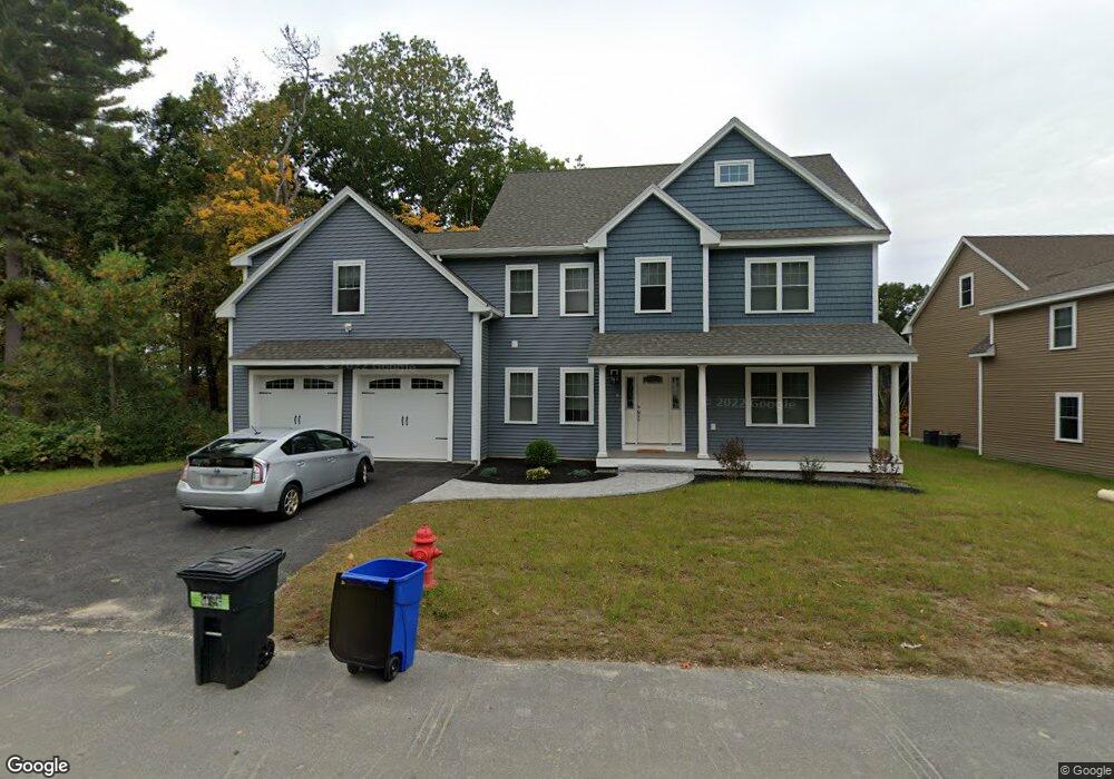
2 Liam's Ln Unit Lot 10 Methuen, MA 01844
The North End NeighborhoodEstimated Value: $859,844 - $963,000
4
Beds
3
Baths
2,800
Sq Ft
$329/Sq Ft
Est. Value
About This Home
This home is located at 2 Liam's Ln Unit Lot 10, Methuen, MA 01844 and is currently estimated at $919,961, approximately $328 per square foot. 2 Liam's Ln Unit Lot 10 is a home located in Essex County with nearby schools including Methuen High School and Hilltop School.
Ownership History
Date
Name
Owned For
Owner Type
Purchase Details
Closed on
Mar 12, 2019
Sold by
Pinnacle Builders Llc
Bought by
Lourenco Nelson and Lourenco Maryam
Current Estimated Value
Home Financials for this Owner
Home Financials are based on the most recent Mortgage that was taken out on this home.
Original Mortgage
$463,920
Outstanding Balance
$406,206
Interest Rate
4.4%
Mortgage Type
New Conventional
Estimated Equity
$513,755
Create a Home Valuation Report for This Property
The Home Valuation Report is an in-depth analysis detailing your home's value as well as a comparison with similar homes in the area
Home Values in the Area
Average Home Value in this Area
Purchase History
| Date | Buyer | Sale Price | Title Company |
|---|---|---|---|
| Lourenco Nelson | $579,995 | -- | |
| Lourenco Nelson | $579,995 | -- |
Source: Public Records
Mortgage History
| Date | Status | Borrower | Loan Amount |
|---|---|---|---|
| Open | Lourenco Nelson | $463,920 | |
| Closed | Lourenco Nelson | $463,920 |
Source: Public Records
Tax History
| Year | Tax Paid | Tax Assessment Tax Assessment Total Assessment is a certain percentage of the fair market value that is determined by local assessors to be the total taxable value of land and additions on the property. | Land | Improvement |
|---|---|---|---|---|
| 2025 | $8,559 | $809,000 | $230,300 | $578,700 |
| 2024 | $8,502 | $782,900 | $202,300 | $580,600 |
| 2023 | $8,191 | $700,100 | $178,900 | $521,200 |
| 2022 | $8,270 | $633,700 | $155,600 | $478,100 |
| 2021 | $7,772 | $589,200 | $147,800 | $441,400 |
| 2020 | $7,673 | $570,900 | $147,800 | $423,100 |
| 2019 | $1,767 | $124,500 | $124,500 | $0 |
| 2018 | $1,665 | $116,700 | $116,700 | $0 |
Source: Public Records
Map
Nearby Homes
- 55 Phoebe St Unit 32
- 40 Phoebe St Unit 101
- 127 Phoebe St Unit 127
- 47 Bailey Ct
- 2 Sequoia Dr Unit 2
- 64 Pine Tree Dr Unit 64
- 34 Danforth Ct Unit 34
- 29 Emma Rose Cir Unit Lot 22
- 27 Littlefield Ct Unit 27
- 17 Lucy Way
- 26 Emma Rose Cir Unit Lot 1
- 27 Emma Rose Cir Unit Lot 23
- 28 Emma Rose Cir Unit Lot 2
- 9 Falcon Ln
- 139 North St
- 3 Lucy Way
- 1513 Broadway
- lots 9 &10 Emma Rose Cir
- 11 Brookside Ct
- 74 Ayers Village Rd
Your Personal Tour Guide
Ask me questions while you tour the home.