2 Lois Ln Gorham, ME 04038
Estimated Value: $393,000 - $541,000
3
Beds
2
Baths
1,344
Sq Ft
$358/Sq Ft
Est. Value
About This Home
This home is located at 2 Lois Ln, Gorham, ME 04038 and is currently estimated at $481,732, approximately $358 per square foot. 2 Lois Ln is a home located in Cumberland County with nearby schools including Narragansett Elementary School, Gorham Middle School, and Gorham High School.
Create a Home Valuation Report for This Property
The Home Valuation Report is an in-depth analysis detailing your home's value as well as a comparison with similar homes in the area
Home Values in the Area
Average Home Value in this Area
Tax History
| Year | Tax Paid | Tax Assessment Tax Assessment Total Assessment is a certain percentage of the fair market value that is determined by local assessors to be the total taxable value of land and additions on the property. | Land | Improvement |
|---|---|---|---|---|
| 2025 | $5,195 | $351,000 | $75,000 | $276,000 |
| 2024 | $5,160 | $351,000 | $75,000 | $276,000 |
| 2023 | $4,826 | $351,000 | $75,000 | $276,000 |
| 2022 | $4,510 | $351,000 | $75,000 | $276,000 |
| 2021 | $3,603 | $185,700 | $59,400 | $126,300 |
| 2020 | $5,085 | $185,700 | $59,400 | $126,300 |
| 2019 | $4,963 | $185,700 | $59,400 | $126,300 |
| 2018 | $3,380 | $185,700 | $59,400 | $126,300 |
| 2017 | $4,334 | $185,700 | $59,400 | $126,300 |
| 2016 | $3,157 | $185,700 | $59,400 | $126,300 |
| 2015 | $3,027 | $185,700 | $59,400 | $126,300 |
| 2014 | $3,069 | $176,400 | $54,600 | $121,800 |
| 2013 | $3,052 | $176,400 | $54,600 | $121,800 |
Source: Public Records
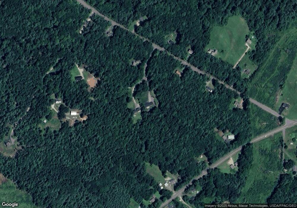
Map
Nearby Homes
- 4 Small Pond Rd
- 5 Forest Cir
- 3 S Branch Dr
- 64 Maple Dr
- 12 Maple Dr
- 213 Burnham Rd
- 14 David Dr
- lot 2 Meserve Farm Rd
- 4 Meserve Farm Rd
- 10 Cowbell Dr
- 00 Deering Dr
- 3 Dunn Estates Dr
- 17 Boreal Dr
- 30 Boreal Dr
- 16 Thistle Dr Unit C
- 282 South St
- Lot 72 Martell Way
- 25 Fairway Commons Dr Unit 7
- Unit 13 Fairway Commons Dr Unit 13
- 31 Fairway Commons Dr Unit 12
Your Personal Tour Guide
Ask me questions while you tour the home.