2 Long Pond Rd Dunbarton, NH 03046
Estimated Value: $702,135 - $843,000
4
Beds
2
Baths
2,636
Sq Ft
$290/Sq Ft
Est. Value
About This Home
This home is located at 2 Long Pond Rd, Dunbarton, NH 03046 and is currently estimated at $764,784, approximately $290 per square foot. 2 Long Pond Rd is a home located in Merrimack County with nearby schools including Dunbarton Elementary School, Bow Memorial School, and Bow High School.
Ownership History
Date
Name
Owned For
Owner Type
Purchase Details
Closed on
Jun 4, 1996
Sold by
Melendy Anita M
Bought by
Soucy Michael R and Soucy Christine A
Current Estimated Value
Home Financials for this Owner
Home Financials are based on the most recent Mortgage that was taken out on this home.
Original Mortgage
$123,800
Interest Rate
7.91%
Create a Home Valuation Report for This Property
The Home Valuation Report is an in-depth analysis detailing your home's value as well as a comparison with similar homes in the area
Home Values in the Area
Average Home Value in this Area
Purchase History
| Date | Buyer | Sale Price | Title Company |
|---|---|---|---|
| Soucy Michael R | $29,900 | -- |
Source: Public Records
Mortgage History
| Date | Status | Borrower | Loan Amount |
|---|---|---|---|
| Open | Soucy Michael R | $214,925 | |
| Closed | Soucy Michael R | $220,000 | |
| Closed | Soucy Michael R | $123,800 |
Source: Public Records
Tax History Compared to Growth
Tax History
| Year | Tax Paid | Tax Assessment Tax Assessment Total Assessment is a certain percentage of the fair market value that is determined by local assessors to be the total taxable value of land and additions on the property. | Land | Improvement |
|---|---|---|---|---|
| 2024 | $9,782 | $370,800 | $85,200 | $285,600 |
| 2023 | $9,481 | $370,800 | $85,200 | $285,600 |
| 2022 | $8,521 | $370,800 | $85,200 | $285,600 |
| 2021 | $8,680 | $370,800 | $85,200 | $285,600 |
| 2020 | $8,261 | $370,800 | $85,200 | $285,600 |
| 2018 | $6,694 | $297,100 | $69,100 | $228,000 |
| 2017 | $7,609 | $297,100 | $69,100 | $228,000 |
| 2016 | $7,124 | $297,100 | $69,100 | $228,000 |
| 2015 | $7,009 | $297,100 | $69,100 | $228,000 |
| 2014 | $6,837 | $323,400 | $69,100 | $254,300 |
| 2013 | $6,795 | $323,400 | $69,100 | $254,300 |
Source: Public Records
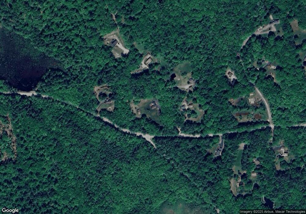
Map
Nearby Homes
- 18 Country Club Dr
- 22 Fairway Dr
- 106 Rangeway Rd
- 17 Gary Rd
- 3 Stephanie Rd
- 5 Karen Rd
- 186 Kimball Pond Rd
- 602 Black Brook Rd
- 140 Robert Rogers Rd
- 1003 School St
- 371 Tibbetts Hill Rd
- 13 Stark Hwy N
- 22 Greenwood Rd
- 257 Robert Rogers Rd
- 88 Saunders Rd
- 45 Range Rd
- 155 Clough Park Rd
- 43 Alene Ln
- 31 Chuck St S
- 62 Jasmine Ln
- 1 Olde Mill Brook Rd
- 11 Olde Mill Brook Rd
- 1072 Black Brook Rd
- 19 Olde Mill Brook Rd
- 17 Long Pond Rd
- 28 Long Pond Rd
- 24 Olde Mill Brook Rd
- 21 Long Pond Rd
- 26 Long Pond Rd
- 25 Long Pond Rd
- 30 Long Pond Rd
- 40 Long Pond Rd
- 1112 Black Brook Rd
- 35 Long Pond Rd
- 36 Long Pond Rd
- 39 Olde Mill Brook Rd
- 39 Long Pond Rd
- 1120 Black Brook Rd
- 42 Long Pond Rd
- 1034 Black Brook Rd