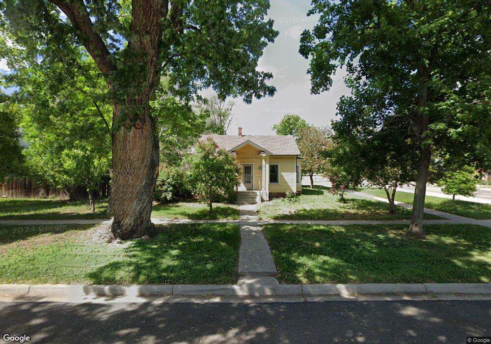
2 Longs Peak Ave Longmont, CO 80501
Kensington NeighborhoodEstimated Value: $382,000 - $472,000
3
Beds
1
Bath
988
Sq Ft
$432/Sq Ft
Est. Value
About This Home
This home is located at 2 Longs Peak Ave, Longmont, CO 80501 and is currently estimated at $426,980, approximately $432 per square foot. 2 Longs Peak Ave is a home located in Boulder County with nearby schools including Columbine Elementary School, Trail Ridge Middle School, and Skyline High School.
Ownership History
Date
Name
Owned For
Owner Type
Purchase Details
Closed on
Oct 3, 2016
Sold by
Finnlandia Llc
Bought by
Finn Brian Paul
Current Estimated Value
Purchase Details
Closed on
Aug 20, 1990
Bought by
Finn Brian Paul
Purchase Details
Closed on
Sep 18, 1989
Bought by
Finn Brian Paul
Purchase Details
Closed on
May 29, 1986
Bought by
Finn Brian Paul
Purchase Details
Closed on
Mar 22, 1984
Bought by
Finn Brian Paul
Create a Home Valuation Report for This Property
The Home Valuation Report is an in-depth analysis detailing your home's value as well as a comparison with similar homes in the area
Home Values in the Area
Average Home Value in this Area
Purchase History
| Date | Buyer | Sale Price | Title Company |
|---|---|---|---|
| Finn Brian Paul | $1,500 | None Available | |
| Finn Brian Paul | $35,000 | -- | |
| Finn Brian Paul | -- | -- | |
| Finn Brian Paul | $57,800 | -- | |
| Finn Brian Paul | $54,000 | -- |
Source: Public Records
Tax History Compared to Growth
Tax History
| Year | Tax Paid | Tax Assessment Tax Assessment Total Assessment is a certain percentage of the fair market value that is determined by local assessors to be the total taxable value of land and additions on the property. | Land | Improvement |
|---|---|---|---|---|
| 2025 | $2,193 | $21,831 | $7,775 | $14,056 |
| 2024 | $2,193 | $21,831 | $7,775 | $14,056 |
| 2023 | $2,163 | $22,927 | $8,583 | $18,030 |
| 2022 | $1,915 | $19,356 | $6,241 | $13,115 |
| 2021 | $1,940 | $19,913 | $6,421 | $13,492 |
| 2020 | $1,836 | $18,897 | $7,436 | $11,461 |
| 2019 | $1,807 | $18,897 | $7,436 | $11,461 |
| 2018 | $1,524 | $16,049 | $7,488 | $8,561 |
| 2017 | $1,504 | $17,742 | $8,278 | $9,464 |
| 2016 | $1,345 | $14,066 | $7,005 | $7,061 |
| 2015 | $1,281 | $11,852 | $4,776 | $7,076 |
| 2014 | $1,107 | $11,852 | $4,776 | $7,076 |
Source: Public Records
Map
Nearby Homes
- 641 Martin St
- 727 Baker St
- 845 Martin St
- 29 Marshall Place
- 146 E Saint Clair Ave Unit 148
- 225 E 8th Ave Unit E20
- 225 E 8th Ave Unit A2
- 225 E 8th Ave Unit E10
- 149 E 6th Ave
- 531 Atwood St
- 428 Baker St
- 643 Collyer St
- 823 Collyer St
- 36 Reed Place
- 342 9th Ave
- 830 Emery St
- 836 Emery St
- 736 Kimbark St
- 820 Kimbark St Unit D
- 104 Rothrock Place
- 10 Longs Peak Ave
- 709 Martin St
- 709 Martin St Unit 1-8
- 709 Martin St Unit 1
- 710 Martin St
- 721 Martin St
- 20 Longs Peak Ave
- 13 Longs Peak Ave
- 723 Martin St
- 637 Martin St
- 708 Martin St Unit 710
- 708 Martin St
- 727 Martin St
- 712 Baker St
- 19 Longs Peak Ave
- 712 Martin St
- 633 Martin St
- 729 Martin St
- 28 Longs Peak Ave
- 630 Martin St