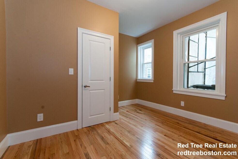

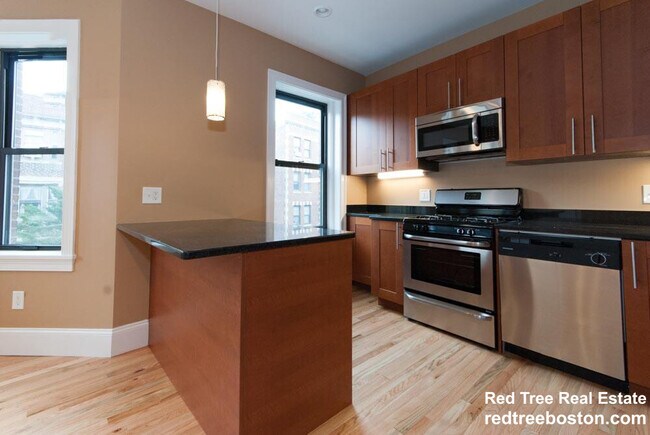
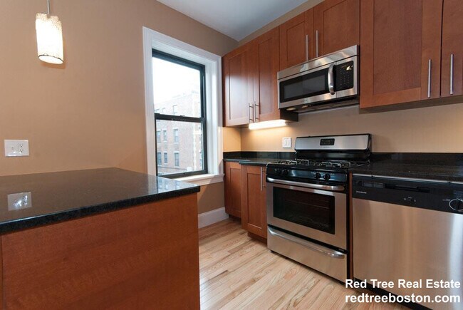
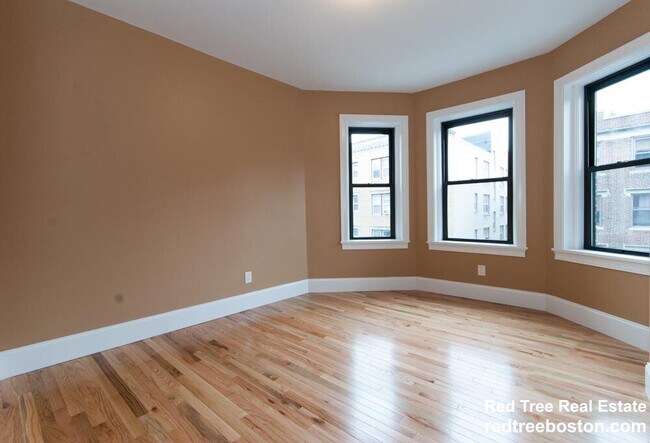
2 Lothian Rd Brighton, MA 02135
Saint Elizabeths Neighborhood
1
Bed
1
Bath
1,600
Sq Ft
2,178
Sq Ft Lot
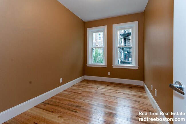
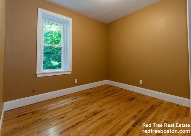
About This Home
ROOM FOR RENT IN A 5 BEDROOM APARTMENT! WONT BE AROUND FOR LONG!!
Listing Provided By

Map
Nearby Homes
- 24 Sidlaw Rd Unit 12
- 129 Chiswick Rd Unit 6
- 25 South St Unit B1
- 1789 Commonwealth Ave
- 39 South St Unit B
- 97 Strathmore Rd Unit 4
- 26 Chiswick Rd Unit 6
- 88 Strathmore Rd Unit 7
- 56-58 Selkirk Rd
- 8 Kinross Rd Unit 2
- 2021 Commonwealth Ave Unit B
- 6 Sutherland Rd Unit 41
- 51 Wallingford Rd Unit 53
- 99 Chestnut Hill Ave Unit 212
- 41 Orkney Rd
- 44 Orkney Rd Unit 3
- 65 Strathmore Rd Unit 49
- 100 Lanark Rd Unit A
- 24 Selkirk Rd Unit 24-4
- 31 Orkney Rd Unit 54
- 2 Lothian Rd Unit 116
- 2 Lothian Rd Unit 1
- 183 Strathmore Rd Unit 2
- 183 Strathmore Rd Unit 1
- 6 Lothian Rd Unit 2
- 6 Lothian Rd Unit 3
- 6 Lothian Rd
- 6 Lothian Rd
- 7 Lothian Rd
- 7 Lothian Rd Unit 11
- 7 Lothian Rd
- 7 Lothian Rd Unit 7
- 7 Lothian Rd Unit 3
- 10 Lothian Rd Unit 7
- 3 Lothian Rd
- 3 Lothian Rd
- 3 Lothian Rd
- 3 Lothian Rd
- 193 Strathmore Rd Unit 10
- 193 Strathmore Rd