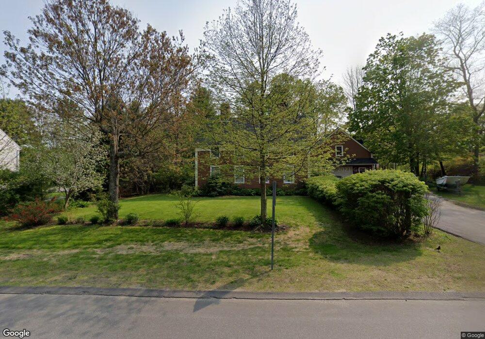
2 Main St Freeport, ME 04032
Estimated Value: $785,000 - $1,098,513
3
Beds
3
Baths
1,903
Sq Ft
$489/Sq Ft
Est. Value
About This Home
This home is located at 2 Main St, Freeport, ME 04032 and is currently estimated at $930,878, approximately $489 per square foot. 2 Main St is a home located in Cumberland County with nearby schools including Morse Street School, Mast Landing School, and Freeport Middle School.
Create a Home Valuation Report for This Property
The Home Valuation Report is an in-depth analysis detailing your home's value as well as a comparison with similar homes in the area
Home Values in the Area
Average Home Value in this Area
Tax History
| Year | Tax Paid | Tax Assessment Tax Assessment Total Assessment is a certain percentage of the fair market value that is determined by local assessors to be the total taxable value of land and additions on the property. | Land | Improvement |
|---|---|---|---|---|
| 2025 | $12,504 | $902,800 | $572,000 | $330,800 |
| 2024 | $11,689 | $875,600 | $544,800 | $330,800 |
| 2023 | $10,761 | $782,600 | $495,200 | $287,400 |
| 2022 | $9,959 | $729,600 | $442,200 | $287,400 |
| 2021 | $9,238 | $692,000 | $404,600 | $287,400 |
| 2020 | $8,996 | $642,600 | $374,600 | $268,000 |
| 2019 | $8,666 | $606,000 | $353,400 | $252,600 |
| 2018 | $8,448 | $561,300 | $327,500 | $233,800 |
| 2017 | $7,885 | $527,400 | $304,200 | $223,200 |
| 2016 | $7,696 | $487,100 | $280,000 | $207,100 |
| 2015 | $7,836 | $466,400 | $274,500 | $191,900 |
Source: Public Records
Map
Nearby Homes
- 5 Holbrook St
- 15 Linwood Rd Unit 15
- 39 Hunter Rd
- 10 Durham Rd
- 212 Main St
- 26 Harvest Ridge Rd Unit 24
- 20 Harvest Ridge Rd Unit 23
- 42 Durham Rd
- 11 Orchard Hill Rd
- 52 Birch Point Rd
- 8 Statler Ln
- 1 Wardtown Rd
- 1260 Us Route 1
- 10 Prout Rd
- 15 Tinkers Way
- 62 Webster Rd
- 143 Bragdon Rd
- 4 Harper's Trail
- 2 Tidal Brook Rd
- 27 Youngs Ln Unit 27
Your Personal Tour Guide
Ask me questions while you tour the home.