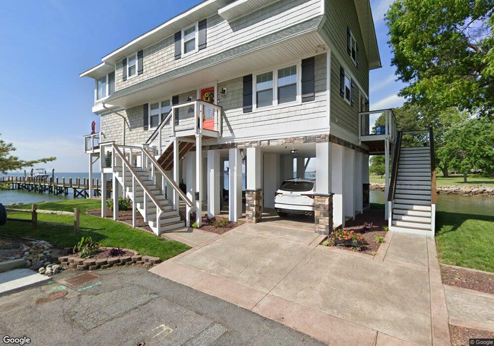
2 Maynard St Hampton, VA 23661
Wythe NeighborhoodEstimated Value: $461,000 - $591,253
4
Beds
3
Baths
2,597
Sq Ft
$211/Sq Ft
Est. Value
About This Home
This home is located at 2 Maynard St, Hampton, VA 23661 and is currently estimated at $547,751, approximately $210 per square foot. 2 Maynard St is a home located in Hampton City with nearby schools including Hunter B. Andrews PK-8 School, C. Alton Lindsay Middle School, and Hampton High School.
Ownership History
Date
Name
Owned For
Owner Type
Purchase Details
Closed on
Oct 14, 2009
Sold by
Barritt Harry A
Bought by
Loveland Michael L
Current Estimated Value
Home Financials for this Owner
Home Financials are based on the most recent Mortgage that was taken out on this home.
Original Mortgage
$459,675
Outstanding Balance
$300,314
Interest Rate
5.09%
Mortgage Type
VA
Estimated Equity
$247,437
Create a Home Valuation Report for This Property
The Home Valuation Report is an in-depth analysis detailing your home's value as well as a comparison with similar homes in the area
Home Values in the Area
Average Home Value in this Area
Purchase History
| Date | Buyer | Sale Price | Title Company |
|---|---|---|---|
| Loveland Michael L | $450,000 | -- |
Source: Public Records
Mortgage History
| Date | Status | Borrower | Loan Amount |
|---|---|---|---|
| Open | Loveland Michael L | $459,675 |
Source: Public Records
Tax History
| Year | Tax Paid | Tax Assessment Tax Assessment Total Assessment is a certain percentage of the fair market value that is determined by local assessors to be the total taxable value of land and additions on the property. | Land | Improvement |
|---|---|---|---|---|
| 2025 | $6,838 | $594,800 | $222,800 | $372,000 |
| 2024 | $6,384 | $573,800 | $222,800 | $351,000 |
| 2023 | $6,242 | $538,100 | $222,800 | $315,300 |
| 2022 | $6,073 | $514,700 | $216,000 | $298,700 |
| 2021 | $5,529 | $435,400 | $199,700 | $235,700 |
| 2020 | $5,306 | $427,900 | $199,700 | $228,200 |
| 2019 | $5,404 | $435,800 | $199,700 | $236,100 |
| 2018 | $4,748 | $348,500 | $199,300 | $149,200 |
| 2017 | $4,415 | $0 | $0 | $0 |
| 2016 | $4,415 | $348,500 | $0 | $0 |
| 2015 | $4,644 | $0 | $0 | $0 |
| 2014 | $4,633 | $366,900 | $209,800 | $157,100 |
Source: Public Records
Map
Nearby Homes
- 2915 Chesapeake Ave
- 119 Wythe Pkwy
- 135 Pochin Place
- 89 Snug Harbor Dr
- 1508 Chesapeake Ave
- 138 Robinson Rd
- 1506 Chesapeake Ave
- 238 Pochin Place
- 222 Wythe Pkwy
- 254 Pocahontas Place
- 138 Hampton Roads Ave
- 142 Clifton St
- 2612 Winona Dr E
- 237 Piedmont Ave
- 144 Algonquin Rd
- 515 Pocahontas Place
- 512 Pocahontas Place
- 1105 Chesapeake Ave
- 200 Claremont Ave
- 1705 Shell Rd
- 1 Maynard St
- 3 Maynard St Unit 1
- 3 Maynard St Unit 2
- 3 Maynard St
- 3 Maynard St Unit 4
- 3 Maynard St Unit 3
- 7 Powhatan Pkwy
- 2500 Chesapeake Ave
- 4 Maynard St
- 2502 Chesapeake Ave
- 2408 Chesapeake Ave
- 2904 Chesapeake Ave
- 5 Maynard St
- 2912 Chesapeake Ave
- 6 Maynard St
- 2914 Chesapeake Ave
- 2406 Chesapeake Ave
- 7 Maynard St
- 2909 Chesapeake Ave
- 2911 Chesapeake Ave
Your Personal Tour Guide
Ask me questions while you tour the home.