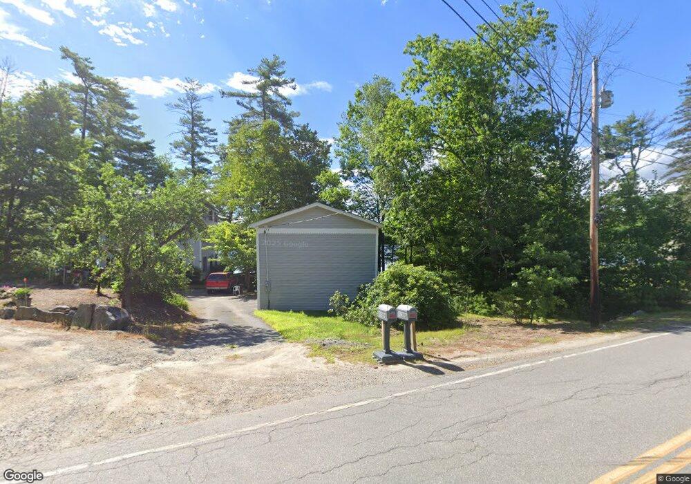
2 Mayo Shores Ln Center Harbor, NH 03226
Center Harbor NeighborhoodEstimated Value: $1,356,000 - $1,720,000
4
Beds
3
Baths
3,549
Sq Ft
$421/Sq Ft
Est. Value
About This Home
This home is located at 2 Mayo Shores Ln, Center Harbor, NH 03226 and is currently estimated at $1,493,996, approximately $420 per square foot. 2 Mayo Shores Ln is a home located in Belknap County with nearby schools including Inter-Lakes Elementary School and Lakeland School.
Ownership History
Date
Name
Owned For
Owner Type
Purchase Details
Closed on
Aug 15, 2012
Sold by
Spaulding Walter C and Spaulding Irene M
Bought by
Spaulding Walter C and Spaulding M
Current Estimated Value
Purchase Details
Closed on
Jul 13, 1988
Bought by
Irene Walter and Irene Spaulding T
Create a Home Valuation Report for This Property
The Home Valuation Report is an in-depth analysis detailing your home's value as well as a comparison with similar homes in the area
Home Values in the Area
Average Home Value in this Area
Purchase History
| Date | Buyer | Sale Price | Title Company |
|---|---|---|---|
| Spaulding Walter C | -- | -- | |
| Irene Walter | -- | -- |
Source: Public Records
Mortgage History
| Date | Status | Borrower | Loan Amount |
|---|---|---|---|
| Open | Irene Walter | $230,200 | |
| Previous Owner | Irene Walter | $216,100 |
Source: Public Records
Tax History Compared to Growth
Tax History
| Year | Tax Paid | Tax Assessment Tax Assessment Total Assessment is a certain percentage of the fair market value that is determined by local assessors to be the total taxable value of land and additions on the property. | Land | Improvement |
|---|---|---|---|---|
| 2024 | $12,121 | $1,133,890 | $685,600 | $448,290 |
| 2023 | $11,112 | $1,133,890 | $685,600 | $448,290 |
| 2022 | $10,194 | $1,133,890 | $685,600 | $448,290 |
| 2021 | $10,038 | $657,370 | $332,000 | $325,370 |
| 2020 | $8,903 | $580,740 | $332,000 | $248,740 |
| 2019 | $8,839 | $580,740 | $332,000 | $248,740 |
| 2018 | $8,328 | $580,740 | $332,000 | $248,740 |
| 2017 | $8,061 | $580,740 | $332,000 | $248,740 |
| 2016 | $8,407 | $584,600 | $335,800 | $248,800 |
| 2015 | $8,407 | $584,600 | $335,800 | $248,800 |
| 2013 | $7,711 | $584,600 | $335,800 | $248,800 |
Source: Public Records
Map
Nearby Homes
- 1 Turtle Ln
- 26 Sawmill Shores Rd
- 4 Pike Island Rd
- 48 Waukewan Rd
- Lot 3 Winona Rd
- Lot 1 Winona Rd
- Lot 2 Winona Rd
- Lot 4 Winona Rd
- 0 Wall Unit J-2 5062335
- 0 Wall Unit J-1 5062334
- 57 Winona Rd
- 32 Boynton Rd
- 15 Highland St
- 8 Kelly Ln
- 25 Elliot Rd
- 8 Water St Unit 2
- 775 Winona Rd
- 2 Namak Way
- 20 True Rd Unit 85
- 20 True Rd Unit 101
- 10 Mayo Shores Ln
- 451 Waukewan Rd
- 14 Mayo Shores Ln
- 446 Waukewan Rd
- 18 Mayo Shores Ln
- 457 Waukewan Rd
- 456 Waukewan Rd
- 24 Mayo Shores Ln
- 26 Mayo Shores Ln
- 461 Waukewan Rd
- 467 Waukewan Rd
- 28 Brookside Ln
- 465 Waukewan Rd
- 469 Waukewan Rd
- 469 & 471 Waukewan Rd
- 32 Brookside Ln
- 40 Brookside Ln
- 473 Waukewan Rd
- 46 Brookside Ln
- 479 Waukewan Rd