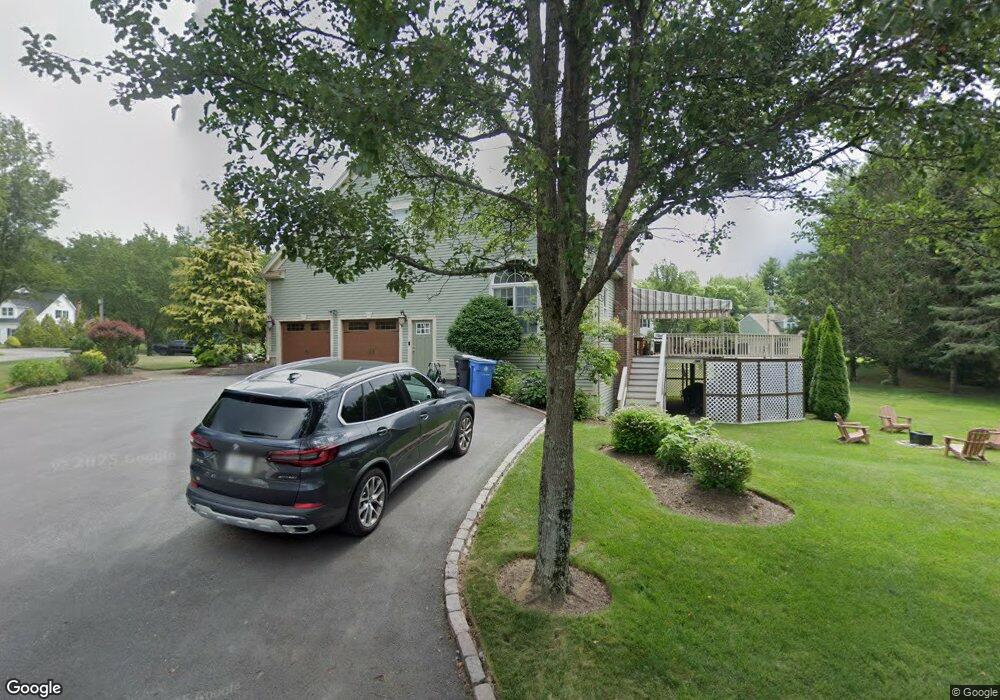
2 Michael Mark Ln Cumberland, RI 02864
Arnold Mills NeighborhoodEstimated Value: $887,000 - $955,000
4
Beds
4
Baths
4,400
Sq Ft
$212/Sq Ft
Est. Value
About This Home
This home is located at 2 Michael Mark Ln, Cumberland, RI 02864 and is currently estimated at $933,655, approximately $212 per square foot. 2 Michael Mark Ln is a home located in Providence County with nearby schools including Community School, North Cumberland Middle School, and Cumberland High School.
Ownership History
Date
Name
Owned For
Owner Type
Purchase Details
Closed on
Nov 7, 2011
Sold by
Crawley Kevin F and Crawley Kara A
Bought by
Cilli John D and Cilli Barbara N
Current Estimated Value
Purchase Details
Closed on
Jun 29, 2007
Sold by
Paese Karen D and Sabio Moises N
Bought by
Primacy Closing Corp
Purchase Details
Closed on
Nov 18, 2002
Sold by
Thiesen Larry F and Thiesen Jennifer Ann
Bought by
Paese Karen D and Sabio Moises N
Purchase Details
Closed on
Jun 10, 1994
Sold by
Cooper Brian T
Bought by
Thiesen Larry F and Thiesen Jennifer
Create a Home Valuation Report for This Property
The Home Valuation Report is an in-depth analysis detailing your home's value as well as a comparison with similar homes in the area
Home Values in the Area
Average Home Value in this Area
Purchase History
| Date | Buyer | Sale Price | Title Company |
|---|---|---|---|
| Cilli John D | $465,000 | -- | |
| Cilli John D | $465,000 | -- | |
| Primacy Closing Corp | $584,000 | -- | |
| Primacy Closing Corp | $584,000 | -- | |
| Paese Karen D | $520,000 | -- | |
| Paese Karen D | $520,000 | -- | |
| Thiesen Larry F | $350,000 | -- | |
| Thiesen Larry F | $350,000 | -- |
Source: Public Records
Mortgage History
| Date | Status | Borrower | Loan Amount |
|---|---|---|---|
| Open | Thiesen Larry F | $20,000 |
Source: Public Records
Tax History
| Year | Tax Paid | Tax Assessment Tax Assessment Total Assessment is a certain percentage of the fair market value that is determined by local assessors to be the total taxable value of land and additions on the property. | Land | Improvement |
|---|---|---|---|---|
| 2025 | $8,796 | $716,900 | $181,100 | $535,800 |
| 2024 | $8,567 | $716,900 | $181,100 | $535,800 |
| 2023 | $8,330 | $716,900 | $181,100 | $535,800 |
| 2022 | $7,735 | $516,000 | $138,200 | $377,800 |
| 2021 | $7,606 | $516,000 | $138,200 | $377,800 |
| 2020 | $7,389 | $516,000 | $138,200 | $377,800 |
| 2019 | $7,819 | $492,400 | $134,800 | $357,600 |
| 2018 | $7,593 | $492,400 | $134,800 | $357,600 |
| 2017 | $7,489 | $492,400 | $134,800 | $357,600 |
| 2016 | $8,403 | $492,000 | $129,400 | $362,600 |
| 2015 | $8,403 | $492,000 | $129,400 | $362,600 |
| 2014 | $8,403 | $492,000 | $129,400 | $362,600 |
| 2013 | $8,109 | $513,900 | $134,000 | $379,900 |
Source: Public Records
Map
Nearby Homes
- 64 Germaine Dr
- 16 Owen Dr
- 26 Country Hill Rd
- 154 Bear Hill Rd Unit 401
- 430 Mendon Rd
- 23 Joseph h Leblanc Ln
- 6 Wyoming Dr
- 740 Allen Ave
- 27 Linwood Rd
- 30 Bear Hill Rd
- 15 Bourque Rd
- 3070 Diamond Hill Rd
- 00 Mendon Rd
- 43 Massachusetts Ave
- 150 Leigh Rd
- 0 Longview Dr
- 336 Allen Ave
- 51 Pequot Ave
- 140 Lippitt Ave
- 14 Longbrook Dr
- 2 Michael Mark Ln Unit 1
- 5 Michael Mark Ln
- 1 Grundys Way
- 1 Grundy's Way
- 3 Michael Mark Ln
- 12 Frederick Ln
- 11 Frederick Ln
- 10 Frederick Ln
- 0 Frederick Ln
- 7 Michael Mark Ln
- 14 Frederick Ln
- 2 Grundys Way
- 8 Frederick Ln
- 2 Grundys Way
- 2 Grundy's Way
- 9 Frederick Ln
- 4 Grundys Way
- 4 Grundy's Way
- 16 Frederick Ln
- 5 Avalon Place
Your Personal Tour Guide
Ask me questions while you tour the home.