2 Mill Pond Ln York, ME 03909
York Harbor NeighborhoodEstimated Value: $1,227,000 - $1,555,000
4
Beds
4
Baths
3,940
Sq Ft
$359/Sq Ft
Est. Value
About This Home
This home is located at 2 Mill Pond Ln, York, ME 03909 and is currently estimated at $1,413,637, approximately $358 per square foot. 2 Mill Pond Ln is a home located in York County with nearby schools including Village Elementary School, Coastal Ridge Elementary School, and York Middle School.
Ownership History
Date
Name
Owned For
Owner Type
Purchase Details
Closed on
Apr 1, 2008
Sold by
Merrow Robin W and Merrow Lucas M
Bought by
Amidon Joanne M
Current Estimated Value
Home Financials for this Owner
Home Financials are based on the most recent Mortgage that was taken out on this home.
Original Mortgage
$167,100
Outstanding Balance
$106,347
Interest Rate
6.06%
Mortgage Type
Unknown
Estimated Equity
$1,307,290
Create a Home Valuation Report for This Property
The Home Valuation Report is an in-depth analysis detailing your home's value as well as a comparison with similar homes in the area
Home Values in the Area
Average Home Value in this Area
Purchase History
| Date | Buyer | Sale Price | Title Company |
|---|---|---|---|
| Amidon Joanne M | -- | -- |
Source: Public Records
Mortgage History
| Date | Status | Borrower | Loan Amount |
|---|---|---|---|
| Open | Amidon Joanne M | $167,100 | |
| Open | Amidon Joanne M | $417,000 |
Source: Public Records
Tax History Compared to Growth
Tax History
| Year | Tax Paid | Tax Assessment Tax Assessment Total Assessment is a certain percentage of the fair market value that is determined by local assessors to be the total taxable value of land and additions on the property. | Land | Improvement |
|---|---|---|---|---|
| 2024 | $9,675 | $1,151,800 | $447,400 | $704,400 |
| 2023 | $8,963 | $1,060,700 | $356,300 | $704,400 |
| 2022 | $8,676 | $1,014,700 | $356,300 | $658,400 |
| 2021 | $8,590 | $863,300 | $298,300 | $565,000 |
| 2020 | $8,105 | $730,200 | $265,200 | $465,000 |
| 2019 | $4,034 | $726,000 | $265,200 | $460,800 |
| 2018 | $8,095 | $726,000 | $265,200 | $460,800 |
| 2017 | $7,402 | $676,000 | $248,600 | $427,400 |
| 2016 | $7,376 | $661,500 | $223,700 | $437,800 |
| 2015 | $7,182 | $652,900 | $223,700 | $429,200 |
| 2014 | $6,986 | $652,900 | $223,700 | $429,200 |
| 2013 | $6,810 | $652,900 | $223,700 | $429,200 |
Source: Public Records
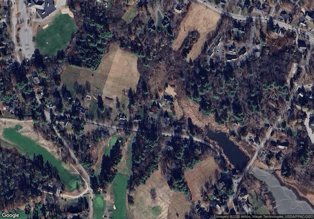
Map
Nearby Homes
- 281 York St
- 294 York St Unit 1
- 294 York St Unit 2
- 294 York St Unit 3
- 8 Ash Ln
- 60 Barrell Ln Unit 3
- 60 Barrell Ln Unit 1
- 11 Chestnut Ln
- 8 Old Seabury Rd
- 357 Southside Rd
- 16 Orchard Farm Rd
- 11 Orchard Farm Rd
- 425 York St
- 419 & 425 York St
- 23 Harmon Park Rd
- 3 Sentry Hill Rd
- 3 Long Cove Rd
- 208 Long Sands Rd
- 18 Woodside Meadow Rd Unit 4
- 21 Starboard Ln
- 32 Indian Trail
- 1 Mill Pond Ln
- 40 Indian Trail
- 3 Mill Pond Ln
- 26 Indian Trail
- 48 Indian Trail
- 43 Indian Trail
- 17 Indian Trail
- 7 Indian Creek Unit 12
- 7 Indian Creek Unit 11
- 7 Indian Creek Unit 10
- 7 Indian Creek Unit 9
- 51 Indian Trail
- 6 Indian Trail
- 55 Indian Trail
- 16 Indian Trail
- 10 Indian Trail
- 4 Pinefield Rd
- 44 Indian Trail
- 3 Raks Cottage