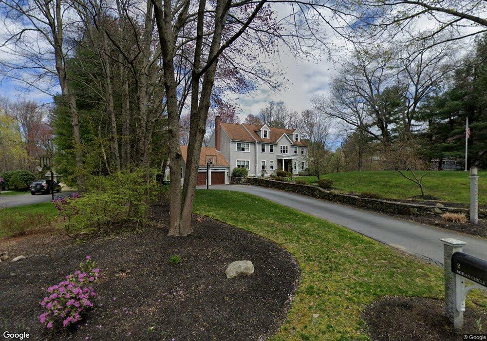
2 Moran Cir Sudbury, MA 01776
Estimated Value: $1,416,000 - $1,762,000
3
Beds
3
Baths
3,184
Sq Ft
$505/Sq Ft
Est. Value
About This Home
This home is located at 2 Moran Cir, Sudbury, MA 01776 and is currently estimated at $1,609,497, approximately $505 per square foot. 2 Moran Cir is a home located in Middlesex County with nearby schools including Israel Loring Elementary School, Ephraim Curtis Middle School, and Lincoln-Sudbury Regional High School.
Ownership History
Date
Name
Owned For
Owner Type
Purchase Details
Closed on
Jan 12, 2001
Sold by
Gigliotti Landscaping
Bought by
Delena Robert C and Delena Mary E
Current Estimated Value
Create a Home Valuation Report for This Property
The Home Valuation Report is an in-depth analysis detailing your home's value as well as a comparison with similar homes in the area
Home Values in the Area
Average Home Value in this Area
Purchase History
| Date | Buyer | Sale Price | Title Company |
|---|---|---|---|
| Delena Robert C | $672,400 | -- |
Source: Public Records
Mortgage History
| Date | Status | Borrower | Loan Amount |
|---|---|---|---|
| Open | Delena Robert C | $523,750 | |
| Closed | Delena Robert C | $64,250 | |
| Closed | Delena Robert C | $625,000 |
Source: Public Records
Tax History Compared to Growth
Tax History
| Year | Tax Paid | Tax Assessment Tax Assessment Total Assessment is a certain percentage of the fair market value that is determined by local assessors to be the total taxable value of land and additions on the property. | Land | Improvement |
|---|---|---|---|---|
| 2025 | $23,515 | $1,606,200 | $500,900 | $1,105,300 |
| 2024 | $22,628 | $1,548,800 | $486,500 | $1,062,300 |
| 2023 | $20,911 | $1,326,000 | $434,500 | $891,500 |
| 2022 | $20,492 | $1,135,300 | $398,500 | $736,800 |
| 2021 | $19,869 | $1,055,200 | $398,500 | $656,700 |
| 2020 | $19,468 | $1,055,200 | $398,500 | $656,700 |
| 2019 | $18,899 | $1,055,200 | $398,500 | $656,700 |
| 2018 | $18,371 | $1,024,600 | $424,100 | $600,500 |
| 2017 | $18,013 | $1,015,400 | $420,500 | $594,900 |
| 2016 | $16,137 | $906,600 | $404,500 | $502,100 |
| 2015 | $15,578 | $885,100 | $392,900 | $492,200 |
| 2014 | $15,573 | $863,700 | $381,300 | $482,400 |
Source: Public Records
Map
Nearby Homes
- 91 Eaton Rd W
- 19 Nob Hill Dr
- 32 Eaton Rd W
- 128 Nobscot Rd
- 84 Hopestill Brown Rd
- 14 Eisenhower Rd
- 30 Nobscot Rd Unit 14
- 1011 Boston Post Rd
- 0 Wagonwheel Rd
- 27 Sloane Dr
- 24 Woodland Rd
- 41 James St
- 7 Adams Rd
- 63 Landham Rd
- 106 Baldwin Ave
- 216 Landham Rd
- 40 Gregory Rd
- 23 Massasoit Ave
- 78 Apple d or Rd
- 36 Concord Rd