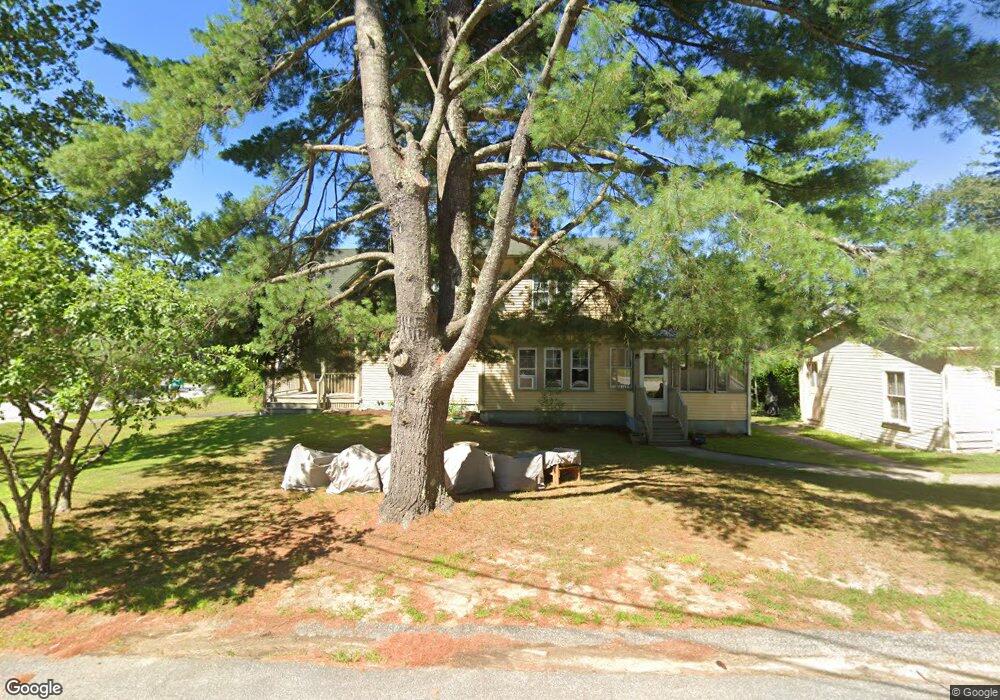
2 Mudgett Ave Meredith, NH 03253
Estimated Value: $607,211 - $1,175,000
5
Beds
4
Baths
2,532
Sq Ft
$325/Sq Ft
Est. Value
About This Home
This home is located at 2 Mudgett Ave, Meredith, NH 03253 and is currently estimated at $823,303, approximately $325 per square foot. 2 Mudgett Ave is a home located in Belknap County with nearby schools including Inter-Lakes Elementary School and Lakeland School.
Ownership History
Date
Name
Owned For
Owner Type
Purchase Details
Closed on
May 19, 2023
Sold by
Freeman Richard C and Freeman Gail M
Bought by
R & Gail Freeman Ret
Current Estimated Value
Purchase Details
Closed on
Aug 15, 2000
Sold by
Desousa Virginia A
Bought by
Stevenson Loring R and Stevenson Paulina M
Home Financials for this Owner
Home Financials are based on the most recent Mortgage that was taken out on this home.
Original Mortgage
$100,000
Interest Rate
8.21%
Mortgage Type
Purchase Money Mortgage
Create a Home Valuation Report for This Property
The Home Valuation Report is an in-depth analysis detailing your home's value as well as a comparison with similar homes in the area
Home Values in the Area
Average Home Value in this Area
Purchase History
| Date | Buyer | Sale Price | Title Company |
|---|---|---|---|
| R & Gail Freeman Ret | -- | None Available | |
| Stevenson Loring R | $130,000 | -- |
Source: Public Records
Mortgage History
| Date | Status | Borrower | Loan Amount |
|---|---|---|---|
| Previous Owner | Stevenson Loring R | $218,400 | |
| Previous Owner | Stevenson Loring R | $100,000 |
Source: Public Records
Tax History Compared to Growth
Tax History
| Year | Tax Paid | Tax Assessment Tax Assessment Total Assessment is a certain percentage of the fair market value that is determined by local assessors to be the total taxable value of land and additions on the property. | Land | Improvement |
|---|---|---|---|---|
| 2024 | $4,430 | $431,800 | $162,300 | $269,500 |
| 2023 | $4,271 | $431,800 | $162,300 | $269,500 |
| 2022 | $3,958 | $283,300 | $87,600 | $195,700 |
| 2021 | $3,801 | $283,000 | $87,600 | $195,400 |
| 2020 | $3,968 | $283,000 | $87,600 | $195,400 |
| 2019 | $3,645 | $229,400 | $55,600 | $173,800 |
| 2018 | $3,583 | $229,400 | $55,600 | $173,800 |
| 2016 | $3,832 | $245,800 | $67,100 | $178,700 |
| 2015 | $3,656 | $240,500 | $67,100 | $173,400 |
| 2014 | $3,567 | $240,500 | $67,100 | $173,400 |
| 2013 | $3,466 | $240,500 | $67,100 | $173,400 |
Source: Public Records
Map
Nearby Homes
- 7 Mudgett Ave
- 99 Pleasant St
- 111 Nh Route 25
- 11 Highland St
- 15 Highland St
- 8 Water St Unit 2
- 12 Highland St
- 11 & 12 Highland St
- 142 Nh Route 25
- 36 Circle Dr
- 8 Kelly Ln
- 20 True Rd Unit 85
- 20 True Rd Unit 101
- 20 True Rd Unit 63
- 32 Boynton Rd
- 21 Upper Ladd Hill Rd Unit D
- 21 Upper Ladd Hill Rd Unit A
- 21 Upper Ladd Hill Rd Unit E
- 21 Upper Ladd Hill Rd Unit C
- 21 Upper Ladd Hill Rd Unit B
- 32 Pleasant St
- 46 Pleasant St
- 4 Mudgett Ave
- 30 Pleasant St
- 00 Mudgett Ave
- 16 Gould Ave
- 5 Gould Ave
- 5 Gould Ave Unit 1
- Slip 1 21 Pleasant St Unit Slip 1
- 56 Pleasant St
- 21 Pleasant St Unit 13
- 21 Pleasant St Unit 61
- 21 Pleasant St Unit 40
- 21 Pleasant St Unit 62
- 21 Pleasant St Unit 43
- 7 Gould Ave
- 28 Pleasant St
- 43 Pleasant St Unit 1
- 43 Pleasant St Unit 6
- 43 Pleasant St Unit 5