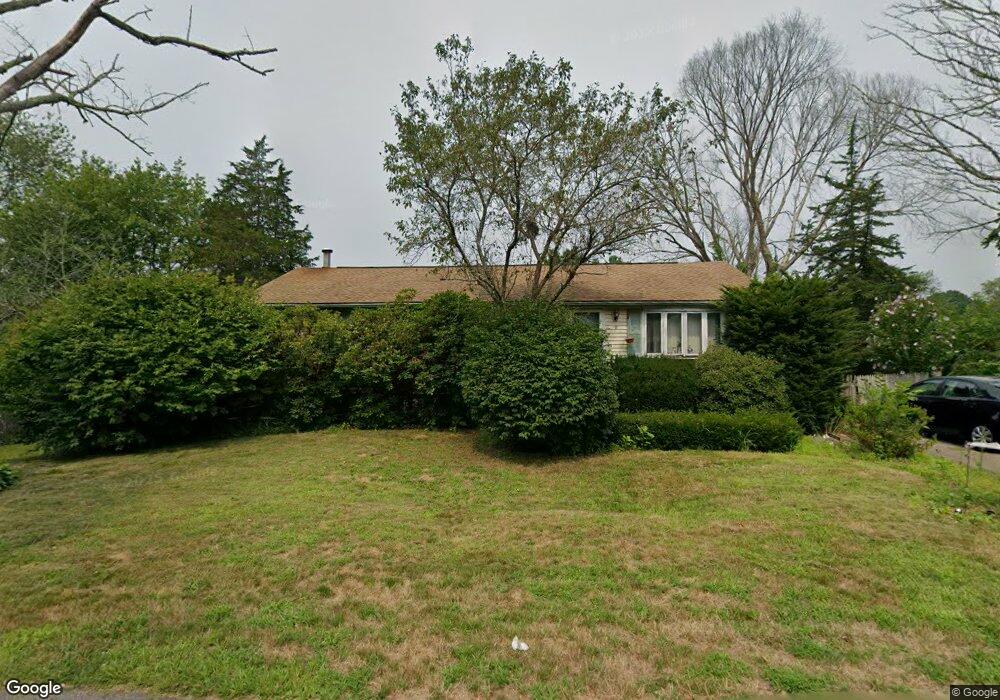
2 N Lakeview Rd Norton, MA 02766
Estimated Value: $493,000 - $535,000
3
Beds
3
Baths
1,248
Sq Ft
$411/Sq Ft
Est. Value
About This Home
This home is located at 2 N Lakeview Rd, Norton, MA 02766 and is currently estimated at $512,756, approximately $410 per square foot. 2 N Lakeview Rd is a home located in Bristol County with nearby schools including J.C. Solmonese Elementary School, Henri A. Yelle Elementary School, and Norton Middle School.
Ownership History
Date
Name
Owned For
Owner Type
Purchase Details
Closed on
Mar 31, 1994
Sold by
First Citizens Fcu
Bought by
Doyle Michael L and Doyle Denice M
Current Estimated Value
Home Financials for this Owner
Home Financials are based on the most recent Mortgage that was taken out on this home.
Original Mortgage
$82,800
Interest Rate
7.07%
Mortgage Type
Purchase Money Mortgage
Purchase Details
Closed on
Nov 12, 1993
Sold by
Hubert David A and First Citizens Fcu
Bought by
First Citizens Fcu
Create a Home Valuation Report for This Property
The Home Valuation Report is an in-depth analysis detailing your home's value as well as a comparison with similar homes in the area
Home Values in the Area
Average Home Value in this Area
Purchase History
| Date | Buyer | Sale Price | Title Company |
|---|---|---|---|
| Doyle Michael L | $103,500 | -- | |
| First Citizens Fcu | $85,000 | -- |
Source: Public Records
Mortgage History
| Date | Status | Borrower | Loan Amount |
|---|---|---|---|
| Open | First Citizens Fcu | $20,000 | |
| Closed | First Citizens Fcu | $82,800 |
Source: Public Records
Tax History Compared to Growth
Tax History
| Year | Tax Paid | Tax Assessment Tax Assessment Total Assessment is a certain percentage of the fair market value that is determined by local assessors to be the total taxable value of land and additions on the property. | Land | Improvement |
|---|---|---|---|---|
| 2025 | $52 | $404,000 | $160,100 | $243,900 |
| 2024 | $4,983 | $384,800 | $152,400 | $232,400 |
| 2023 | $4,721 | $363,400 | $143,800 | $219,600 |
| 2022 | $4,607 | $323,100 | $130,700 | $192,400 |
| 2021 | $4,242 | $284,100 | $124,500 | $159,600 |
| 2020 | $4,023 | $271,800 | $120,800 | $151,000 |
| 2019 | $3,892 | $261,200 | $116,300 | $144,900 |
| 2018 | $8,903 | $240,800 | $109,800 | $131,000 |
| 2017 | $3,554 | $231,200 | $109,800 | $121,400 |
| 2016 | $3,209 | $205,600 | $103,300 | $102,300 |
| 2015 | $3,096 | $201,200 | $101,300 | $99,900 |
| 2014 | $2,948 | $191,800 | $96,500 | $95,300 |
Source: Public Records
Map
Nearby Homes
- 21 Juniper Rd
- 18 Columbine Rd
- 39 Evergreen Rd
- 268 Reservoir St
- 15 Patten Rd
- 12 Sylvan Rd
- 0 Brook Pkwy
- 15 Reservoir St Unit 44
- 10 Ridge Rd
- 23 Indian Rd
- 157 Mansfield Ave Unit 14
- 250 Mansfield Ave Unit 66
- 711 Ware St
- 778 Ware St
- 73 Godfrey Dr
- 93 Mansfield Ave
- 0 Kensington Rd
- 6 Horton Dr
- 460 Ware St
- 12 Kayak Trail
- 12 N Lakeview Rd
- 371 Reservoir St
- 3 N Highland Rd
- 3 N Lakeview Rd
- 5 N Lakeview Rd
- 377 Reservoir St
- 11 N Highland Rd
- 369 Reservoir St
- 7 N Lakeview Rd
- 14 N Lakeview Rd
- 15 N Highland Rd
- 374 Reservoir St
- 15 N Lakeview Rd
- 16 N Lakeview Rd
- 8 Rock Ln
- 378 Reservoir St
- 2 N Highland Rd
- 12 Rock Ln
- 366 Reservoir St
- 361 Reservoir St