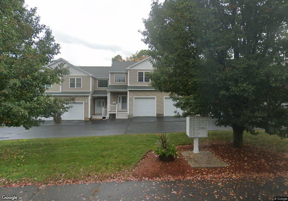
2 Phillips St Leominster, MA 01453
Estimated Value: $390,000 - $435,000
2
Beds
3
Baths
1,489
Sq Ft
$277/Sq Ft
Est. Value
About This Home
This home is located at 2 Phillips St, Leominster, MA 01453 and is currently estimated at $412,498, approximately $277 per square foot. 2 Phillips St is a home located in Worcester County with nearby schools including Leominster High School, St. Leo School, and St. Anna Catholic School.
Ownership History
Date
Name
Owned For
Owner Type
Purchase Details
Closed on
Aug 9, 2017
Sold by
Hauver David G and Hauver Nancy J
Bought by
Nancy J Hauver Ret
Current Estimated Value
Purchase Details
Closed on
Dec 19, 2016
Sold by
Wright Linda M
Bought by
Hauver David and Hauver Nancy
Home Financials for this Owner
Home Financials are based on the most recent Mortgage that was taken out on this home.
Original Mortgage
$161,250
Interest Rate
3.54%
Mortgage Type
New Conventional
Purchase Details
Closed on
Apr 15, 2005
Sold by
Goguen Paul
Bought by
Wright Linda M
Create a Home Valuation Report for This Property
The Home Valuation Report is an in-depth analysis detailing your home's value as well as a comparison with similar homes in the area
Home Values in the Area
Average Home Value in this Area
Purchase History
| Date | Buyer | Sale Price | Title Company |
|---|---|---|---|
| Nancy J Hauver Ret | -- | -- | |
| Hauver David | $215,000 | -- | |
| Wright Linda M | $256,900 | -- |
Source: Public Records
Mortgage History
| Date | Status | Borrower | Loan Amount |
|---|---|---|---|
| Previous Owner | Hauver David | $161,250 |
Source: Public Records
Tax History
| Year | Tax Paid | Tax Assessment Tax Assessment Total Assessment is a certain percentage of the fair market value that is determined by local assessors to be the total taxable value of land and additions on the property. | Land | Improvement |
|---|---|---|---|---|
| 2025 | $5,049 | $359,900 | $0 | $359,900 |
| 2024 | $5,036 | $347,100 | $0 | $347,100 |
| 2023 | $4,844 | $311,700 | $0 | $311,700 |
| 2022 | $4,470 | $269,900 | $0 | $269,900 |
| 2021 | $4,368 | $240,900 | $0 | $240,900 |
| 2020 | $4,249 | $236,300 | $0 | $236,300 |
| 2019 | $3,762 | $202,900 | $0 | $202,900 |
| 2018 | $3,856 | $199,500 | $0 | $199,500 |
| 2017 | $3,980 | $201,700 | $0 | $201,700 |
| 2016 | $3,383 | $172,800 | $0 | $172,800 |
| 2015 | $3,585 | $184,400 | $0 | $184,400 |
| 2014 | $3,718 | $196,800 | $0 | $196,800 |
Source: Public Records
Map
Nearby Homes
- 192 Pleasant St Unit 25
- 192 Pleasant St Unit 23
- 242 Pleasant St
- 46 Franklin St
- 60 Pearl St
- 51 Pleasant St
- 46 Eugene St
- 21 Regina Dr
- 16 Depot Square
- 47 Carolyn St
- 59 Church St
- 14 Walker St
- 15 Arlington St
- 22 Prescott St
- 42 Summer St
- 77 Carter St
- 59 Webber St
- 42 Wheeler St
- 0 Wheeler St
- 210 6th St Unit C
- 220 Stuart Ave
- 16 Phillips St
- 16 Phillips St Unit 16
- 2 Phillips St Unit 2
- 14 Phillips St
- 12 Phillips St
- 10 Phillips St
- 6 Phillips St
- 4 Phillips St
- 12 Phillips St Unit 12
- 8 Phillips St Unit 4
- 46 Colburn St
- 20 Phillips St
- 18 Phillips St
- 8 Phillips St
- 18 Phillips St Unit 9
- 8 Phillips St Unit 8
- 15 Phillips St
- 15 Pillips St Unit 2
- 15 Phillips St Unit 2
Your Personal Tour Guide
Ask me questions while you tour the home.