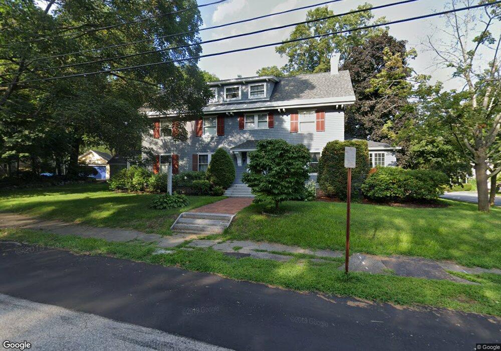
2 Ridge Rd Concord, NH 03301
Estimated Value: $741,477 - $872,000
4
Beds
3
Baths
2,948
Sq Ft
$268/Sq Ft
Est. Value
About This Home
This home is located at 2 Ridge Rd, Concord, NH 03301 and is currently estimated at $789,619, approximately $267 per square foot. 2 Ridge Rd is a home located in Merrimack County with nearby schools including Loudon Elementary School, Merrimack Valley Middle School, and Merrimack Valley High School.
Ownership History
Date
Name
Owned For
Owner Type
Purchase Details
Closed on
May 12, 2021
Sold by
Fitzgerald Nicole H and Fitzgerald Warren D
Bought by
Fitzgerald T
Current Estimated Value
Purchase Details
Closed on
Apr 1, 1982
Bought by
Fitzgerald Nicole H and Fitzgerald Warren D
Create a Home Valuation Report for This Property
The Home Valuation Report is an in-depth analysis detailing your home's value as well as a comparison with similar homes in the area
Home Values in the Area
Average Home Value in this Area
Purchase History
| Date | Buyer | Sale Price | Title Company |
|---|---|---|---|
| Fitzgerald T | -- | None Available | |
| Fitzgerald Nicole H | $120,000 | -- |
Source: Public Records
Mortgage History
| Date | Status | Borrower | Loan Amount |
|---|---|---|---|
| Previous Owner | Fitzgerald Nicole H | $200,000 | |
| Previous Owner | Fitzgerald Nicole H | $100,000 |
Source: Public Records
Tax History Compared to Growth
Tax History
| Year | Tax Paid | Tax Assessment Tax Assessment Total Assessment is a certain percentage of the fair market value that is determined by local assessors to be the total taxable value of land and additions on the property. | Land | Improvement |
|---|---|---|---|---|
| 2024 | $14,127 | $510,200 | $173,300 | $336,900 |
| 2023 | $13,704 | $510,200 | $173,300 | $336,900 |
| 2022 | $13,209 | $510,200 | $173,300 | $336,900 |
| 2021 | $12,741 | $507,200 | $173,300 | $333,900 |
| 2020 | $12,034 | $449,700 | $145,000 | $304,700 |
| 2019 | $12,279 | $442,000 | $145,000 | $297,000 |
| 2018 | $12,141 | $430,700 | $138,100 | $292,600 |
| 2017 | $11,652 | $412,600 | $138,100 | $274,500 |
| 2016 | $11,325 | $409,300 | $138,100 | $271,200 |
| 2015 | $10,947 | $400,400 | $113,800 | $286,600 |
| 2014 | $10,735 | $400,400 | $113,800 | $286,600 |
| 2013 | -- | $397,700 | $113,800 | $283,900 |
| 2012 | -- | $415,100 | $113,800 | $301,300 |
Source: Public Records
Map
Nearby Homes
- 1457 Upper City Rd
- 1310 & 1311 Upper City Rd
- 47 Clearview Dr
- 1005 New Hampshire 106
- 0 Shaw Rd Unit 36-1
- 21 Concord Hill Rd
- 23 Concord Hill Rd
- Map 132 Lot 115 Arrowhead Ln
- 19 Abnaki Path
- 9 Warbonnet Ln
- 000 Pocumtuck Way Unit 35
- 4 Penobscott Path
- 153 Lakeshore Dr
- 7006 Lake St
- 55 Whitehouse Rd
- 7 Cram Ave
- 71 Goshen Dr
- 110 Main St
- 116 Webster Mills Rd
- 0000 Cedar Dr Unit 10000
- 4 Loudon Ridge Rd
- 1229 Route 129
- 29 Loudon Ridge Rd
- 92 Loudon Ridge Rd
- 14 Presby Ln
- 1155 Route 129
- 11 Presby Ln
- 1359 Route 129
- 142 Loudon Ridge Rd
- 35 Presby Ln
- 5 Pittsfield Rd
- 4 Youngs Hill Rd
- 4 Youngs Hill Rd
- 75 Pittsfield Rd
- 22 Youngs Hill Rd
- 20 Youngs Hill Rd
- 34-2 Youngs Hill Rd
- 8 Pittsfield Rd
- 28 Youngs Hill Rd
- 36 Pittsfield Rd