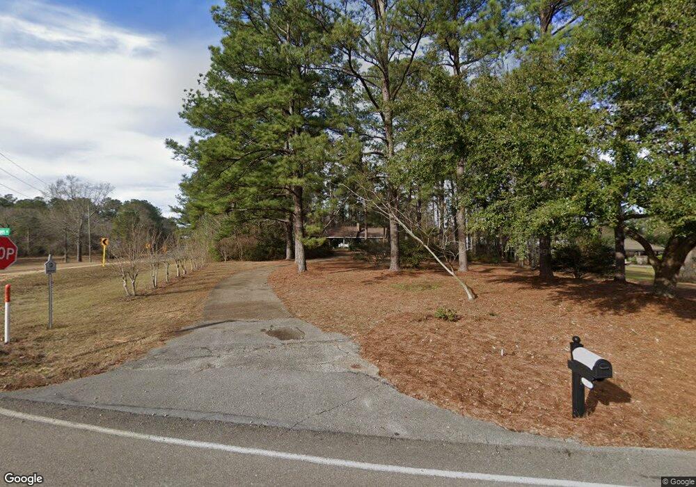
2 Rogers Rd Hattiesburg, MS 39401
Estimated Value: $193,000 - $233,000
--
Bed
--
Bath
1,626
Sq Ft
$127/Sq Ft
Est. Value
About This Home
This home is located at 2 Rogers Rd, Hattiesburg, MS 39401 and is currently estimated at $207,278, approximately $127 per square foot. 2 Rogers Rd is a home located in Forrest County with nearby schools including Dixie Attendance Center and North Forrest High School.
Ownership History
Date
Name
Owned For
Owner Type
Purchase Details
Closed on
Mar 25, 2015
Sold by
Defatta Gary J and Defatta Defatta
Bought by
Defatta Gary Joe and Defatta Donna Lynn
Current Estimated Value
Purchase Details
Closed on
Mar 13, 2012
Sold by
Defatta Nell Odena and Defatta Mrs Joe
Bought by
Defatta Gary J and Defatta Jetty B
Create a Home Valuation Report for This Property
The Home Valuation Report is an in-depth analysis detailing your home's value as well as a comparison with similar homes in the area
Home Values in the Area
Average Home Value in this Area
Purchase History
| Date | Buyer | Sale Price | Title Company |
|---|---|---|---|
| Defatta Gary Joe | -- | -- | |
| Defatta Gary J | -- | -- |
Source: Public Records
Tax History Compared to Growth
Tax History
| Year | Tax Paid | Tax Assessment Tax Assessment Total Assessment is a certain percentage of the fair market value that is determined by local assessors to be the total taxable value of land and additions on the property. | Land | Improvement |
|---|---|---|---|---|
| 2024 | $1,411 | $11,315 | $0 | $0 |
| 2023 | $1,411 | $75,440 | $0 | $0 |
| 2022 | $1,372 | $11,316 | $0 | $0 |
| 2021 | $1,372 | $11,316 | $0 | $0 |
| 2020 | $1,335 | $10,988 | $0 | $0 |
| 2019 | $1,333 | $10,990 | $0 | $0 |
| 2018 | $1,335 | $10,990 | $0 | $0 |
| 2017 | $1,335 | $10,990 | $0 | $0 |
| 2016 | $1,267 | $10,372 | $0 | $0 |
| 2015 | -- | $69,161 | $0 | $0 |
| 2014 | -- | $6,916 | $0 | $0 |
Source: Public Records
Map
Nearby Homes
- 110 Frye Rd
- 425 Patrick Rd
- 00 Moore Rd
- 1425 Browns Bridge Rd
- 48 Vera Ln
- 9 Circle C Ranch Rd
- 000 Rogers Rd
- 7 AC U S 49
- 348 Elks Lake Rd
- 4883 U S 49
- 0 Titus Stewart Rd Unit LotWP001
- 1009 Browns Bridge Rd
- 4883 U S Highway 49
- 22 Bedford Forrest Ln
- 9 Larry Goff Rd
- 015 R C Thomas Rd
- 013 R C Thomas Rd
- 012 R C Thomas Rd
- 011 R C Thomas Rd
- 010 R C Thomas Rd
- 12 Rogers Rd
- 957 Elks Lake Rd
- 21 Rogers Rd
- 933 Elks Lake Rd
- 964 Elks Lake Rd
- 40 Rogers Rd
- 41 Rogers Rd
- 970 Elks Lake Rd
- 909 Elks Lake Rd
- 965 Elks Lake Rd
- 15 Lambert Cove
- 15 Lambert Cove
- 17 Lambert Cove
- 17 Lambert Cove
- 980 Elks Lake Rd
- 46 Rogers Rd
- 45 Rogers Rd
- 983 Elks Lake Rd
- 10 Crescent Cove
- 891 Elks Lake Rd