Estimated Value: $755,000 - $950,000
4
Beds
3
Baths
2,643
Sq Ft
$321/Sq Ft
Est. Value
About This Home
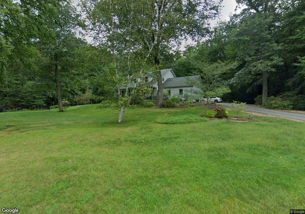
This home is located at 2 Saltmarsh Cir, Bow, NH 03304 and is currently estimated at $848,356, approximately $320 per square foot. 2 Saltmarsh Cir is a home with nearby schools including Bow Elementary School, Bow Memorial School, and Bow High School.
Ownership History
Date
Name
Owned For
Owner Type
Purchase Details
Closed on
Nov 23, 2005
Sold by
Mason John R and Mason Christiane G
Bought by
Papinsick Robert J and Papinsick Susan C
Current Estimated Value
Home Financials for this Owner
Home Financials are based on the most recent Mortgage that was taken out on this home.
Original Mortgage
$400,000
Outstanding Balance
$79,426
Interest Rate
6.06%
Estimated Equity
$768,930
Purchase Details
Closed on
Dec 19, 2002
Sold by
Philie Michael B
Bought by
Mason John R and Mason Christiane G
Home Financials for this Owner
Home Financials are based on the most recent Mortgage that was taken out on this home.
Original Mortgage
$367,900
Interest Rate
6.16%
Purchase Details
Closed on
Jun 11, 1999
Sold by
Cadoret James and Cadoret Patricia
Bought by
Philie Michael B
Home Financials for this Owner
Home Financials are based on the most recent Mortgage that was taken out on this home.
Original Mortgage
$279,000
Interest Rate
6.9%
Create a Home Valuation Report for This Property
The Home Valuation Report is an in-depth analysis detailing your home's value as well as a comparison with similar homes in the area
Home Values in the Area
Average Home Value in this Area
Purchase History
| Date | Buyer | Sale Price | Title Company |
|---|---|---|---|
| Papinsick Robert J | $515,000 | -- | |
| Papinsick Robert J | $515,000 | -- | |
| Mason John R | $459,900 | -- | |
| Philie Michael B | $310,000 | -- |
Source: Public Records
Mortgage History
| Date | Status | Borrower | Loan Amount |
|---|---|---|---|
| Open | Papinsick Robert J | $400,000 | |
| Closed | Philie Michael B | $400,000 | |
| Previous Owner | Philie Michael B | $367,900 | |
| Previous Owner | Philie Michael B | $279,000 |
Source: Public Records
Tax History
| Year | Tax Paid | Tax Assessment Tax Assessment Total Assessment is a certain percentage of the fair market value that is determined by local assessors to be the total taxable value of land and additions on the property. | Land | Improvement |
|---|---|---|---|---|
| 2025 | $15,771 | $786,600 | $161,700 | $624,900 |
| 2024 | $15,559 | $786,600 | $161,700 | $624,900 |
| 2023 | $14,025 | $504,300 | $111,400 | $392,900 |
| 2022 | $13,374 | $504,300 | $111,400 | $392,900 |
| 2021 | $12,855 | $504,300 | $111,400 | $392,900 |
| 2020 | $12,990 | $507,800 | $111,400 | $396,400 |
| 2019 | $13,309 | $507,800 | $111,400 | $396,400 |
| 2018 | $11,837 | $426,100 | $102,700 | $323,400 |
| 2017 | $11,827 | $425,900 | $102,700 | $323,200 |
| 2016 | $11,197 | $425,900 | $102,700 | $323,200 |
| 2015 | $10,583 | $370,800 | $102,700 | $268,100 |
| 2014 | $10,942 | $370,800 | $102,700 | $268,100 |
| 2011 | $9,807 | $361,200 | $102,700 | $258,500 |
Source: Public Records
Map
Nearby Homes
- 26 Jonathan Ln
- 15 Clearview Dr
- 4 Bow Center Rd Unit F2
- 47 Bog Rd Unit G2
- 5 Holly Cir
- 5 Windchime Dr
- 42 Westover Ln
- 77 White Rock Hill Rd
- 17 Erin Dr
- 104 White Rock Hill Rd
- 13 Ferry Rd
- 91 Whittemore Rd
- 481 Woodlawn Ridge Rd
- 107 Page Rd
- 289 South St
- 40 Nivelle St
- 30 Longmeadow Dr
- 7 Morgan Dr
- 202 Beacon Hill Rd
- 335 S Main St
Your Personal Tour Guide
Ask me questions while you tour the home.