2 Samantha Ct Clancy, MT 59634
Montana City NeighborhoodEstimated Value: $638,000 - $841,648
3
Beds
2
Baths
1,563
Sq Ft
$475/Sq Ft
Est. Value
About This Home
This home is located at 2 Samantha Ct, Clancy, MT 59634 and is currently estimated at $742,912, approximately $475 per square foot. 2 Samantha Ct is a home located in Jefferson County with nearby schools including Montana City Elementary School, Montana City Middle School, and Jefferson High School.
Ownership History
Date
Name
Owned For
Owner Type
Purchase Details
Closed on
May 23, 2018
Sold by
Marlenee Richard G and Marlenee Gregg
Bought by
Marlenee Gregg and Marlenee Heide
Current Estimated Value
Home Financials for this Owner
Home Financials are based on the most recent Mortgage that was taken out on this home.
Original Mortgage
$398,000
Outstanding Balance
$342,691
Interest Rate
4.4%
Estimated Equity
$400,221
Purchase Details
Closed on
Mar 19, 2008
Sold by
Marlenee Richard G
Bought by
Marlenee Richard G and Garberg Cindy
Home Financials for this Owner
Home Financials are based on the most recent Mortgage that was taken out on this home.
Original Mortgage
$320,000
Interest Rate
6.04%
Mortgage Type
New Conventional
Create a Home Valuation Report for This Property
The Home Valuation Report is an in-depth analysis detailing your home's value as well as a comparison with similar homes in the area
Home Values in the Area
Average Home Value in this Area
Purchase History
| Date | Buyer | Sale Price | Title Company |
|---|---|---|---|
| Marlenee Gregg | -- | Mountain Title | |
| Marlenee Richard G | -- | None Available |
Source: Public Records
Mortgage History
| Date | Status | Borrower | Loan Amount |
|---|---|---|---|
| Open | Marlenee Gregg | $398,000 | |
| Previous Owner | Marlenee Richard G | $320,000 |
Source: Public Records
Tax History
| Year | Tax Paid | Tax Assessment Tax Assessment Total Assessment is a certain percentage of the fair market value that is determined by local assessors to be the total taxable value of land and additions on the property. | Land | Improvement |
|---|---|---|---|---|
| 2025 | $4,674 | $878,200 | $0 | $0 |
| 2024 | $4,714 | $663,800 | $0 | $0 |
| 2023 | $4,617 | $663,800 | $0 | $0 |
| 2022 | $4,440 | $515,098 | $0 | $0 |
| 2021 | $4,310 | $515,098 | $0 | $0 |
| 2020 | $4,468 | $514,899 | $0 | $0 |
| 2019 | $4,487 | $514,899 | $0 | $0 |
| 2018 | $3,918 | $425,300 | $0 | $0 |
| 2017 | $3,880 | $425,300 | $0 | $0 |
| 2016 | $3,319 | $378,100 | $0 | $0 |
| 2015 | $3,406 | $378,100 | $0 | $0 |
| 2014 | $3,031 | $195,305 | $0 | $0 |
Source: Public Records
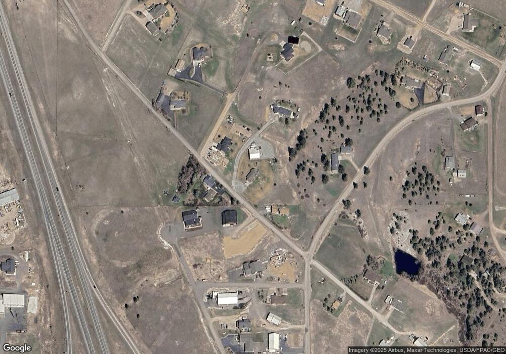
Map
Nearby Homes
- 1196 Highway 282
- 1 Lighthouse Loop
- 9 Hilltop Dr
- 10 Raven Ridge Rd
- 21 Mansfield Loop
- 26 Stoney Brook Dr Unit B
- 26 Stoney Brook Dr Unit D
- 26 Stoney Brook Dr Unit A
- 26 Stoney Brook Dr Unit C
- 31 Stoney Brook Dr Unit B
- 35C Stoney Brook Dr
- 39 Stoney Brook Dr Unit B
- 39 Stoney Brook Dr Unit A
- 39 Stoney Brook Dr Unit B
- 23 B Stoney Brook Dr Unit B
- 23 B Stoney Brook Dr Unit A
- 9 Ridge View Cir
- 16 Grassy Mountain Rd
- 5 Crazy Mountain Rd
- 5 Crazy Mountain Cul de Sac