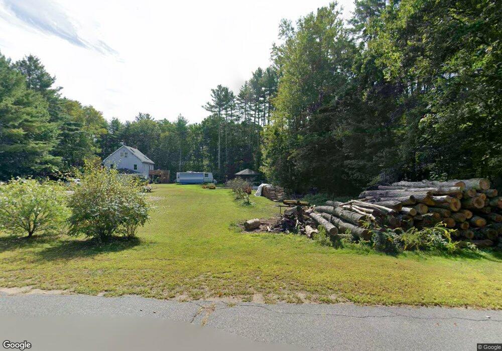
2 Shattuck Ln Brookline, NH 03033
Estimated Value: $469,583 - $528,000
3
Beds
1
Bath
1,705
Sq Ft
$291/Sq Ft
Est. Value
About This Home
This home is located at 2 Shattuck Ln, Brookline, NH 03033 and is currently estimated at $496,646, approximately $291 per square foot. 2 Shattuck Ln is a home with nearby schools including Richard Maghakian Memorial School, Captain Samuel Douglass Academy, and Hollis-Brookline Middle School.
Create a Home Valuation Report for This Property
The Home Valuation Report is an in-depth analysis detailing your home's value as well as a comparison with similar homes in the area
Home Values in the Area
Average Home Value in this Area
Tax History
| Year | Tax Paid | Tax Assessment Tax Assessment Total Assessment is a certain percentage of the fair market value that is determined by local assessors to be the total taxable value of land and additions on the property. | Land | Improvement |
|---|---|---|---|---|
| 2025 | $10,144 | $411,700 | $197,800 | $213,900 |
| 2024 | $9,304 | $411,500 | $197,800 | $213,700 |
| 2023 | $8,551 | $411,500 | $197,800 | $213,700 |
| 2022 | $7,492 | $252,100 | $119,100 | $133,000 |
| 2021 | $7,205 | $252,100 | $119,100 | $133,000 |
| 2020 | $7,008 | $252,100 | $119,100 | $133,000 |
| 2019 | $7,530 | $252,100 | $119,100 | $133,000 |
| 2018 | $7,337 | $248,200 | $119,100 | $129,100 |
| 2017 | $6,733 | $204,400 | $96,300 | $108,100 |
| 2016 | $6,714 | $206,200 | $99,300 | $106,900 |
| 2015 | $6,403 | $206,200 | $99,300 | $106,900 |
| 2014 | $6,774 | $206,200 | $99,300 | $106,900 |
| 2013 | $6,522 | $206,200 | $99,300 | $106,900 |
Source: Public Records
Map
Nearby Homes
- 6 Skyline Dr
- 9 Quigley Way
- 25 Pepperell Rd
- 6 Flint Meadow Dr
- 6 High Oaks Path
- 198 N End Rd
- 2 Corey Hill Rd
- 2 Warren's Way
- 8B Louis Dr
- 364 Townsend Hill Rd
- 15 N End Rd
- 10 Boynton St
- 3 Winterberry Rd
- 7 Winterberry Rd
- 9 Winterberry Rd
- 127 Brookline St
- 102 Wheeler St
- 143 Heald St
- 0 Brookline St
- 18 Maple St Unit 14
Your Personal Tour Guide
Ask me questions while you tour the home.