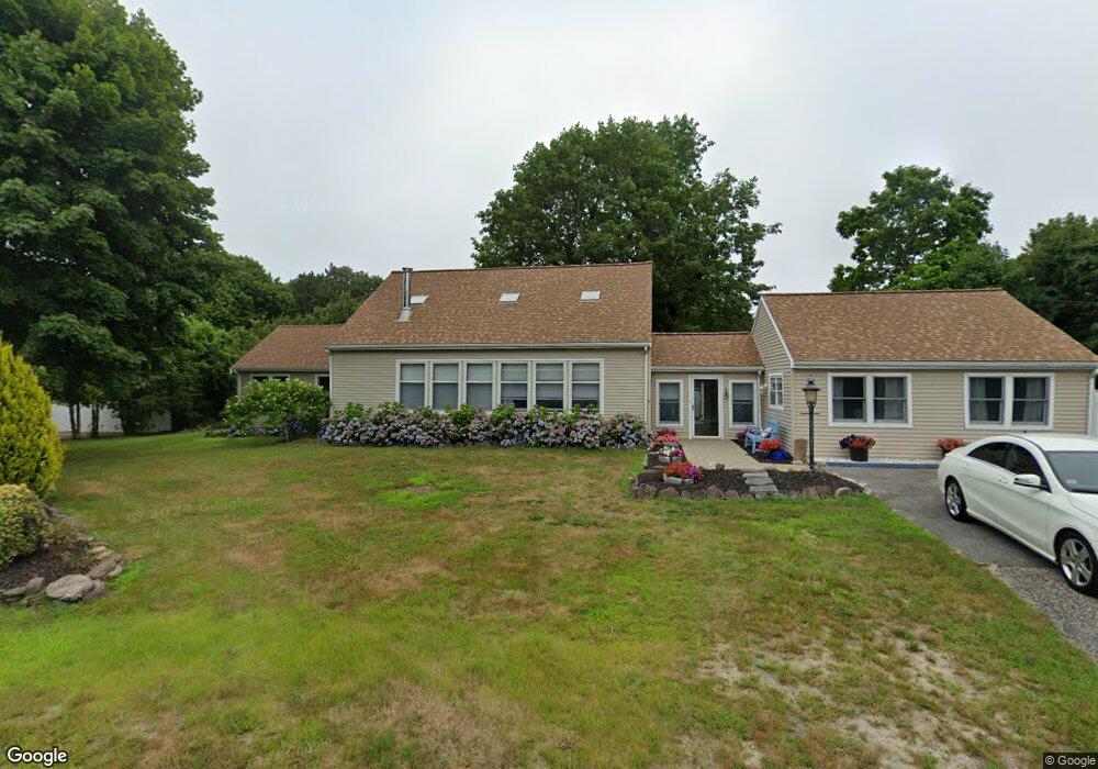
2 Shearwater Dr Bourne, MA 02532
Cataumet NeighborhoodEstimated Value: $606,092 - $1,625,000
4
Beds
3
Baths
2,120
Sq Ft
$445/Sq Ft
Est. Value
About This Home
This home is located at 2 Shearwater Dr, Bourne, MA 02532 and is currently estimated at $943,273, approximately $444 per square foot. 2 Shearwater Dr is a home located in Barnstable County with nearby schools including Bourne High School, Cadence Academy Preschool - Bourne, and Heritage Christian Academy.
Ownership History
Date
Name
Owned For
Owner Type
Purchase Details
Closed on
Mar 3, 1999
Sold by
Natl Heritage Life Ins
Bought by
Piccoli George P and Morley Kelly M
Current Estimated Value
Home Financials for this Owner
Home Financials are based on the most recent Mortgage that was taken out on this home.
Original Mortgage
$55,000
Interest Rate
6.76%
Mortgage Type
Purchase Money Mortgage
Create a Home Valuation Report for This Property
The Home Valuation Report is an in-depth analysis detailing your home's value as well as a comparison with similar homes in the area
Home Values in the Area
Average Home Value in this Area
Purchase History
| Date | Buyer | Sale Price | Title Company |
|---|---|---|---|
| Piccoli George P | $126,000 | -- | |
| Piccoli George P | $126,000 | -- |
Source: Public Records
Mortgage History
| Date | Status | Borrower | Loan Amount |
|---|---|---|---|
| Open | Piccoli George P | $60,000 | |
| Closed | Piccoli George P | $55,000 |
Source: Public Records
Tax History
| Year | Tax Paid | Tax Assessment Tax Assessment Total Assessment is a certain percentage of the fair market value that is determined by local assessors to be the total taxable value of land and additions on the property. | Land | Improvement |
|---|---|---|---|---|
| 2025 | $4,881 | $625,000 | $243,000 | $382,000 |
| 2024 | $4,809 | $599,600 | $231,400 | $368,200 |
| 2023 | $4,677 | $530,900 | $204,800 | $326,100 |
| 2022 | $4,809 | $476,600 | $217,500 | $259,100 |
| 2021 | $4,674 | $434,000 | $197,900 | $236,100 |
| 2020 | $4,432 | $412,700 | $196,000 | $216,700 |
| 2019 | $3,976 | $378,300 | $196,000 | $182,300 |
| 2018 | $3,800 | $360,500 | $186,700 | $173,800 |
| 2017 | $3,697 | $358,900 | $191,100 | $167,800 |
| 2016 | $3,609 | $355,200 | $191,100 | $164,100 |
| 2015 | $3,453 | $342,900 | $178,800 | $164,100 |
Source: Public Records
Map
Nearby Homes
- 31 Baxendale Rd
- 15 Oak Ave
- 1234 Route 28a
- 1234 Route 28a
- 289 Old Main Rd
- 48 Red Brook Harbor Rd
- 28 Nathan Ellis Hwy
- 75 Winsor Rd
- 1090 Shore Rd Unit 7
- 393 N Falmouth Hwy Unit 8
- 14 Ryder Rd
- 209 Waterside Dr
- 10 Rockledge Dr
- 91 Wickertree Rd
- 267 N Falmouth Hwy
- 16 Michael Rd
- 224 N Falmouth Hwy Unit 2
- 7 4th Ave
- 3 4th Ave
- 254 Barlows Landing Rd
- 1318 County Rd
- 1318 County Rd
- 1 Shearwater Dr
- 4 Sherry Ln
- 4 Shearwater Dr
- 4 Shearwater Dr
- 1325 County Rd
- 1325 County Rd
- 1336 County Rd Unit 5
- 1336 County Rd
- 1316 County Rd
- 1323 County Rd
- 1323 County Rd
- 1334 County Rd
- 5 Shearwater Dr
- 1312 County Rd
- 1312 County Rd
- 0 Shearwater Dr
- 4 Puffin Cir
- 12 Olofson Dr
Your Personal Tour Guide
Ask me questions while you tour the home.