2 Smoke Ridge Dr Sherman, CT 06784
Estimated Value: $663,748 - $787,000
3
Beds
3
Baths
2,739
Sq Ft
$263/Sq Ft
Est. Value
About This Home
This home is located at 2 Smoke Ridge Dr, Sherman, CT 06784 and is currently estimated at $720,187, approximately $262 per square foot. 2 Smoke Ridge Dr is a home located in Fairfield County with nearby schools including Sherman School.
Ownership History
Date
Name
Owned For
Owner Type
Purchase Details
Closed on
Aug 1, 1996
Sold by
Kalbaugh Robert D and Kalbaugh Marylyn E
Bought by
Fitzgerald John and Fitzgerald Olympia
Current Estimated Value
Home Financials for this Owner
Home Financials are based on the most recent Mortgage that was taken out on this home.
Original Mortgage
$200,000
Outstanding Balance
$97,837
Interest Rate
5.2%
Mortgage Type
Purchase Money Mortgage
Estimated Equity
$622,350
Create a Home Valuation Report for This Property
The Home Valuation Report is an in-depth analysis detailing your home's value as well as a comparison with similar homes in the area
Home Values in the Area
Average Home Value in this Area
Purchase History
| Date | Buyer | Sale Price | Title Company |
|---|---|---|---|
| Fitzgerald John | $280,000 | -- |
Source: Public Records
Mortgage History
| Date | Status | Borrower | Loan Amount |
|---|---|---|---|
| Open | Fitzgerald John | $200,000 | |
| Previous Owner | Fitzgerald John | $203,000 | |
| Previous Owner | Fitzgerald John | $235,750 |
Source: Public Records
Tax History Compared to Growth
Tax History
| Year | Tax Paid | Tax Assessment Tax Assessment Total Assessment is a certain percentage of the fair market value that is determined by local assessors to be the total taxable value of land and additions on the property. | Land | Improvement |
|---|---|---|---|---|
| 2025 | $5,744 | $344,600 | $104,800 | $239,800 |
| 2024 | $5,638 | $344,600 | $104,800 | $239,800 |
| 2023 | $6,141 | $344,600 | $104,800 | $239,800 |
| 2022 | $6,265 | $344,600 | $104,800 | $239,800 |
| 2021 | $6,423 | $344,600 | $104,800 | $239,800 |
| 2020 | $12,161 | $344,600 | $104,800 | $239,800 |
| 2019 | $6,827 | $344,600 | $104,800 | $239,800 |
| 2018 | $11,746 | $347,300 | $104,800 | $242,500 |
| 2017 | $7,061 | $347,300 | $104,800 | $242,500 |
| 2016 | $7,060 | $347,270 | $104,790 | $242,480 |
| 2015 | $6,931 | $345,870 | $104,790 | $241,080 |
| 2014 | $6,862 | $345,870 | $104,790 | $241,080 |
Source: Public Records
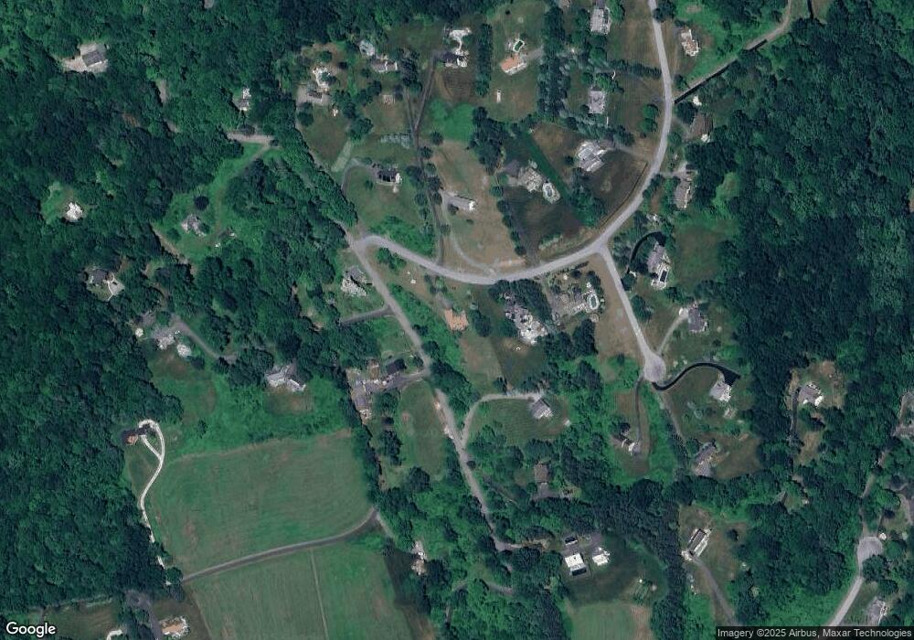
Map
Nearby Homes
- 1 Cloverleaf Farm S
- 00 Anderson Rd
- 1 Hoyt Rd
- 55 Colonial Ridge Dr
- 49 Quaker Ridge Rd
- 16 Gaylord Rd
- 41 Long River Rd
- 48 Gaylord Rd
- 43 Gaylord Rd
- 685 Kent Rd
- 42 Long River Rd
- 696 Kent Rd
- 60 Long River Rd
- 31 Cedar Hill Rd
- 107 Church Rd
- 73 Long River Rd
- 612 Kent Rd
- 27 Meadowland Dr
- 165 Duell Hollow Rd
- 36 Byrds Hill Rd
- 4 Smoke Ridge Dr
- 9 Smoke Ridge Dr
- 31 Anderson Rd
- 28 Anderson Rd
- 1 Smoke Ridge Dr
- 4 Cloverleaf Farm N
- 35 Anderson Rd
- 6 Smoke Ridge Dr
- 11 Smoke Ridge Dr
- 26 Anderson Rd
- 13 Smoke Ridge Dr
- 2 Southview Dr
- 37 Anderson Rd
- 5 Smoke Ridge Dr
- 7 Smoke Ridge Dr
- 3 Smoke Ridge Dr
- 1 Southview Dr
- 1 Cloverleaf Farm N
- 3 Southview Dr
- 20 Anderson Road Extension