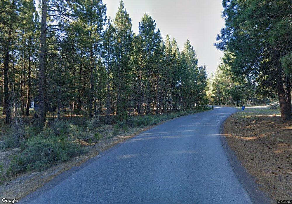
2 Snuffy Ln La Pine, OR 97739
Estimated Value: $408,547 - $475,000
2
Beds
1
Bath
874
Sq Ft
$505/Sq Ft
Est. Value
About This Home
This home is located at 2 Snuffy Ln, La Pine, OR 97739 and is currently estimated at $441,774, approximately $505 per square foot. 2 Snuffy Ln is a home located in Klamath County with nearby schools including Gilchrist Elementary School and Gilchrist Junior/Senior High School.
Ownership History
Date
Name
Owned For
Owner Type
Purchase Details
Closed on
Aug 7, 2024
Sold by
Peterson Cynthia L
Bought by
Mason Kristopher Edward Alan and Mason Amiee Annette
Current Estimated Value
Home Financials for this Owner
Home Financials are based on the most recent Mortgage that was taken out on this home.
Original Mortgage
$415,000
Outstanding Balance
$409,540
Interest Rate
6.86%
Mortgage Type
VA
Estimated Equity
$32,234
Purchase Details
Closed on
Apr 2, 2024
Sold by
Peterson Cynthia Lynn
Bought by
Peterson Cynthia Lynn and Jacobson Kyler Matthew
Purchase Details
Closed on
Nov 3, 2021
Sold by
Culbertson Aaron R
Bought by
Peterson Cynthia L
Create a Home Valuation Report for This Property
The Home Valuation Report is an in-depth analysis detailing your home's value as well as a comparison with similar homes in the area
Purchase History
| Date | Buyer | Sale Price | Title Company |
|---|---|---|---|
| Mason Kristopher Edward Alan | $415,000 | Deschutes Title | |
| Peterson Cynthia Lynn | -- | None Listed On Document | |
| Peterson Cynthia L | $83,000 | First American Title |
Source: Public Records
Mortgage History
| Date | Status | Borrower | Loan Amount |
|---|---|---|---|
| Open | Mason Kristopher Edward Alan | $415,000 |
Source: Public Records
Tax History
| Year | Tax Paid | Tax Assessment Tax Assessment Total Assessment is a certain percentage of the fair market value that is determined by local assessors to be the total taxable value of land and additions on the property. | Land | Improvement |
|---|---|---|---|---|
| 2025 | $2,130 | $166,630 | -- | -- |
| 2024 | $2,064 | $161,780 | -- | -- |
| 2023 | $1,989 | $161,780 | $0 | $0 |
| 2022 | $118 | $10,200 | $0 | $0 |
| 2021 | $115 | $9,910 | $0 | $0 |
| 2020 | $112 | $9,630 | $0 | $0 |
| 2019 | $110 | $9,350 | $0 | $0 |
| 2018 | $108 | $9,080 | $0 | $0 |
| 2017 | $105 | $8,820 | $0 | $0 |
| 2016 | $103 | $8,570 | $0 | $0 |
| 2015 | $101 | $8,330 | $0 | $0 |
| 2014 | $97 | $8,090 | $0 | $0 |
| 2013 | -- | $7,860 | $0 | $0 |
Source: Public Records
Map
Nearby Homes
- 1920 Cheryl Dr
- 1225 Hackett Dr
- 149218 Auderine Cir
- 1 Gracies Rd
- 1287 Fort Jack Pine Dr
- 216 Chapman St
- 652 Chapman St
- 1018 Chapman St
- 152038 Conestoga Rd
- 152113 Silver Spur Rd
- 152224 Silver Spur Rd
- 0 Tl 09900 Scabbard Ct Unit 4 220194298
- 0 Tl 09800 Scabbard Ct Unit 5 220194297
- 0 Tl 09300 Buggy Whip Ct Unit 10 220194293
- 0 Tl 10300 Concho Ct Unit 5 220194299
- 0 Tl 09700 Buggy Whip Ct Unit 6 220194296
- 1870 Iron Wheel Ct
- 0 Tl 10600 Concho Ct Unit 2 220194291
- 0 Stirrup Dr Unit Lot 15 220194508
- 0 Stirrup Dr Unit Lot 20 220194510
