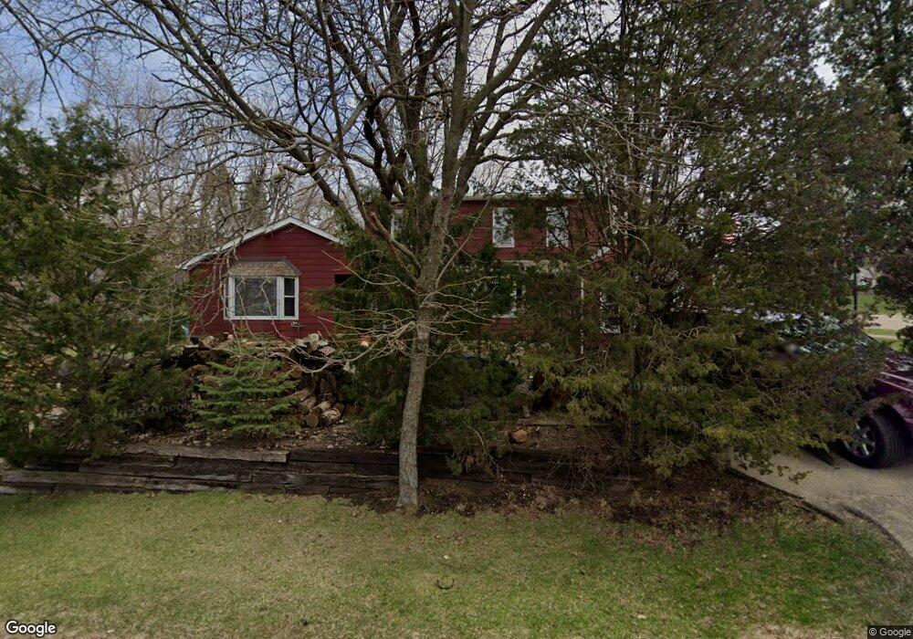
2 Springcrest Rd East Dundee, IL 60118
Estimated Value: $354,338 - $426,000
4
Beds
--
Bath
1,697
Sq Ft
$221/Sq Ft
Est. Value
About This Home
This home is located at 2 Springcrest Rd, East Dundee, IL 60118 and is currently estimated at $375,585, approximately $221 per square foot. 2 Springcrest Rd is a home located in Kane County with nearby schools including Parkview Elementary School, Carpentersville Middle School, and Dundee-Crown High School.
Ownership History
Date
Name
Owned For
Owner Type
Purchase Details
Closed on
Aug 30, 1994
Sold by
Schiefelbein Richard W and Schiefelbein Gail F
Bought by
Olson Thomas R and Olson Maripat
Current Estimated Value
Home Financials for this Owner
Home Financials are based on the most recent Mortgage that was taken out on this home.
Original Mortgage
$126,000
Interest Rate
7.5%
Create a Home Valuation Report for This Property
The Home Valuation Report is an in-depth analysis detailing your home's value as well as a comparison with similar homes in the area
Home Values in the Area
Average Home Value in this Area
Purchase History
| Date | Buyer | Sale Price | Title Company |
|---|---|---|---|
| Olson Thomas R | $140,000 | -- |
Source: Public Records
Mortgage History
| Date | Status | Borrower | Loan Amount |
|---|---|---|---|
| Closed | Olson Thomas R | $126,000 |
Source: Public Records
Tax History
| Year | Tax Paid | Tax Assessment Tax Assessment Total Assessment is a certain percentage of the fair market value that is determined by local assessors to be the total taxable value of land and additions on the property. | Land | Improvement |
|---|---|---|---|---|
| 2024 | $8,807 | $119,926 | $26,109 | $93,817 |
| 2023 | $8,304 | $107,905 | $23,492 | $84,413 |
| 2022 | $7,406 | $92,364 | $23,492 | $68,872 |
| 2021 | $6,995 | $87,210 | $22,181 | $65,029 |
| 2020 | $6,834 | $85,249 | $21,682 | $63,567 |
| 2019 | $6,670 | $80,928 | $20,583 | $60,345 |
| 2018 | $5,332 | $64,339 | $18,863 | $45,476 |
| 2017 | $5,048 | $59,037 | $17,645 | $41,392 |
| 2016 | $5,169 | $57,162 | $17,085 | $40,077 |
| 2015 | -- | $53,562 | $16,009 | $37,553 |
| 2014 | -- | $50,344 | $15,567 | $34,777 |
| 2013 | -- | $51,885 | $16,044 | $35,841 |
Source: Public Records
Map
Nearby Homes
- 436 Barrington Ave
- 408 Jackson St
- 206 Water St
- 605 Barrington Ave Unit 140
- 605 Barrington Ave Unit 208
- Lot 8 Elmwood Dr
- 305 Oregon Ave
- 315 Liberty St
- Lot 6B Ravine Rd
- Lot 6A Ravine Rd
- Lot 6 Ravine Rd
- 123 Dundee Ave
- Lot 1 View St
- 505 Ryan Ln
- 491 Maple Ave
- 1203 Brookdale Dr
- 1017 Brookdale Dr Unit 1017
- 601 Edwards Ave
- 560 S 5th St
- 1033 Rosewood Dr
- 425 Barrington Ave
- 408 Springcrest Rd
- 421 Barrington Ave
- 427 Barrington Ave
- 412 Springcrest Rd
- 419 Barrington Ave
- 422 Barrington Ave
- 1 Summit St
- 429 Barrington Ave
- 426 Barrington Ave
- 3 Summit St
- 430 Barrington Ave
- 416 Springcrest Rd
- 407 Barrington Ave
- 434 Barrington Ave
- 413 Railroad St
- 412 N Van Buren St
- 5 Summit St
- 408 N Van Buren St
- 431 Barrington Ave
Your Personal Tour Guide
Ask me questions while you tour the home.