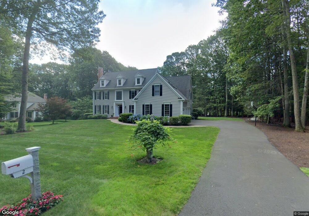
2 Spruce Ln Weatogue, CT 06089
Estimated Value: $1,033,000 - $1,126,000
4
Beds
4
Baths
3,804
Sq Ft
$282/Sq Ft
Est. Value
About This Home
This home is located at 2 Spruce Ln, Weatogue, CT 06089 and is currently estimated at $1,071,920, approximately $281 per square foot. 2 Spruce Ln is a home located in Hartford County with nearby schools including Latimer Lane School, Henry James Memorial School, and Simsbury High School.
Ownership History
Date
Name
Owned For
Owner Type
Purchase Details
Closed on
Jan 9, 2013
Sold by
Chiapetti Lydia H
Bought by
Chiapetti Lydia H and Chiapetti Mario J
Current Estimated Value
Home Financials for this Owner
Home Financials are based on the most recent Mortgage that was taken out on this home.
Original Mortgage
$176,000
Outstanding Balance
$33,514
Interest Rate
3.36%
Estimated Equity
$1,038,406
Purchase Details
Closed on
Jul 17, 2000
Sold by
Ralph Mark A and Ralph Cari C
Bought by
Chappetti Mario J and Chiappetti Lydia H
Home Financials for this Owner
Home Financials are based on the most recent Mortgage that was taken out on this home.
Original Mortgage
$300,000
Interest Rate
7.01%
Purchase Details
Closed on
May 18, 1998
Sold by
Latimer Farms Inc
Bought by
Ralph Mark and Ralph Cari
Create a Home Valuation Report for This Property
The Home Valuation Report is an in-depth analysis detailing your home's value as well as a comparison with similar homes in the area
Home Values in the Area
Average Home Value in this Area
Purchase History
| Date | Buyer | Sale Price | Title Company |
|---|---|---|---|
| Chiapetti Lydia H | -- | -- | |
| Chappetti Mario J | $717,000 | -- | |
| Ralph Mark | $155,000 | -- |
Source: Public Records
Mortgage History
| Date | Status | Borrower | Loan Amount |
|---|---|---|---|
| Open | Ralph Mark | $176,000 | |
| Previous Owner | Ralph Mark | $203,000 | |
| Previous Owner | Ralph Mark | $297,000 | |
| Previous Owner | Ralph Mark | $300,000 |
Source: Public Records
Tax History
| Year | Tax Paid | Tax Assessment Tax Assessment Total Assessment is a certain percentage of the fair market value that is determined by local assessors to be the total taxable value of land and additions on the property. | Land | Improvement |
|---|---|---|---|---|
| 2025 | $19,538 | $571,970 | $112,000 | $459,970 |
| 2024 | $19,052 | $571,970 | $112,000 | $459,970 |
| 2023 | $18,200 | $571,970 | $112,000 | $459,970 |
| 2022 | $15,968 | $413,370 | $115,500 | $297,870 |
| 2021 | $15,968 | $413,370 | $115,500 | $297,870 |
| 2020 | $15,332 | $413,370 | $115,500 | $297,870 |
| 2019 | $15,427 | $413,370 | $115,500 | $297,870 |
| 2018 | $15,539 | $413,370 | $115,500 | $297,870 |
| 2017 | $17,869 | $461,010 | $147,000 | $314,010 |
| 2016 | $17,113 | $461,010 | $147,000 | $314,010 |
| 2015 | $17,113 | $461,010 | $147,000 | $314,010 |
| 2014 | $17,122 | $461,010 | $147,000 | $314,010 |
Source: Public Records
Map
Nearby Homes
- 10 Sunrise Terrace
- 301 Bushy Hill Rd
- 15 Sand Hill Rd
- 126 Hopmeadow St Unit 3H
- 38 Hilltop Dr Unit 38
- 10 Woodcliff Dr
- 3 Cobtail Way
- 2 Meadow Ct
- 51 Hendricks Ln
- 30 Southbridge Ct Unit 30
- 27 Fernwood Dr
- 95 Moravia Rd
- 100 Nod Way
- 370A W Mountain Rd
- 1 West St Unit 112
- 40 Firetown Rd Unit 22
- 545 Simsbury Rd
- 42 Library Ln Unit 42
- 1 Riverview
- 121 Gracey Rd
Your Personal Tour Guide
Ask me questions while you tour the home.