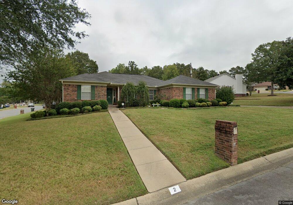
2 Stonebrook Ct Little Rock, AR 72211
Western Little Rock NeighborhoodEstimated Value: $248,844 - $264,000
--
Bed
2
Baths
1,649
Sq Ft
$157/Sq Ft
Est. Value
About This Home
This home is located at 2 Stonebrook Ct, Little Rock, AR 72211 and is currently estimated at $259,211, approximately $157 per square foot. 2 Stonebrook Ct is a home located in Pulaski County with nearby schools including Terry Elementary School, Pinnacle View Middle School, and LISA Academy West Elementary School.
Ownership History
Date
Name
Owned For
Owner Type
Purchase Details
Closed on
May 28, 1997
Sold by
Christopher Doris Louise
Bought by
Bass Millie K
Current Estimated Value
Home Financials for this Owner
Home Financials are based on the most recent Mortgage that was taken out on this home.
Original Mortgage
$93,500
Outstanding Balance
$12,917
Interest Rate
8.1%
Mortgage Type
Purchase Money Mortgage
Estimated Equity
$246,294
Create a Home Valuation Report for This Property
The Home Valuation Report is an in-depth analysis detailing your home's value as well as a comparison with similar homes in the area
Home Values in the Area
Average Home Value in this Area
Purchase History
| Date | Buyer | Sale Price | Title Company |
|---|---|---|---|
| Bass Millie K | $119,000 | -- |
Source: Public Records
Mortgage History
| Date | Status | Borrower | Loan Amount |
|---|---|---|---|
| Open | Bass Millie K | $93,500 |
Source: Public Records
Tax History Compared to Growth
Tax History
| Year | Tax Paid | Tax Assessment Tax Assessment Total Assessment is a certain percentage of the fair market value that is determined by local assessors to be the total taxable value of land and additions on the property. | Land | Improvement |
|---|---|---|---|---|
| 2025 | $2,388 | $41,861 | $5,800 | $36,061 |
| 2024 | $2,388 | $41,861 | $5,800 | $36,061 |
| 2023 | $2,388 | $41,861 | $5,800 | $36,061 |
| 2022 | $2,388 | $41,861 | $5,800 | $36,061 |
| 2021 | $2,405 | $35,480 | $7,200 | $28,280 |
| 2020 | $2,013 | $35,480 | $7,200 | $28,280 |
| 2019 | $2,013 | $35,480 | $7,200 | $28,280 |
| 2018 | $2,038 | $35,480 | $7,200 | $28,280 |
| 2017 | $2,038 | $35,480 | $7,200 | $28,280 |
| 2016 | $2,038 | $34,120 | $5,000 | $29,120 |
| 2015 | $2,392 | $34,120 | $5,000 | $29,120 |
| 2014 | $2,392 | $34,120 | $5,000 | $29,120 |
Source: Public Records
Map
Nearby Homes
- 1707 Point Dr W
- 12400 Cherry Laurel Dr
- 2001 Brookford Dr
- 1910 Cherrybend Dr
- 28 Elkrun Cove
- 12601 Misty Creek Dr
- 1610 Calgary Trail
- 2623 Bowman Rd
- 1408 S Bowman Rd
- 23 Wagon Wheel Ct
- 1509 Gamble Rd
- 12825 Westglen Dr
- 12901 Westglen Dr
- 11701 Shady Creek Dr
- 1409 Mesquite Dr
- 11612 Shady Creek Dr
- 13408 Teton Dr
- 2806 Woodsgate Dr
- 2905 Woodsgate Dr
- 2101 Hickorynut Ct
- 1717 Point Dr W
- 1717 Point West Dr
- 6 Stonebrook Ct
- 1715 Point West Dr
- 1715 Point Dr W
- 1 Stonebrook Ct
- 1718 Point Dr W
- 1720 Point West Dr
- 3 Stonebrook Ct
- 1718 Point West Dr
- 1716 Point West Dr
- 1716 Point Dr W
- 5 Stonebrook Ct
- 1711 Point West Dr
- 1805 Point Dr
- 1805 Point West Dr
- 1800 Point West Dr
- 7 Stonebrook Ct
- 8 Stonebrook Ct
- 1712 Point West Dr