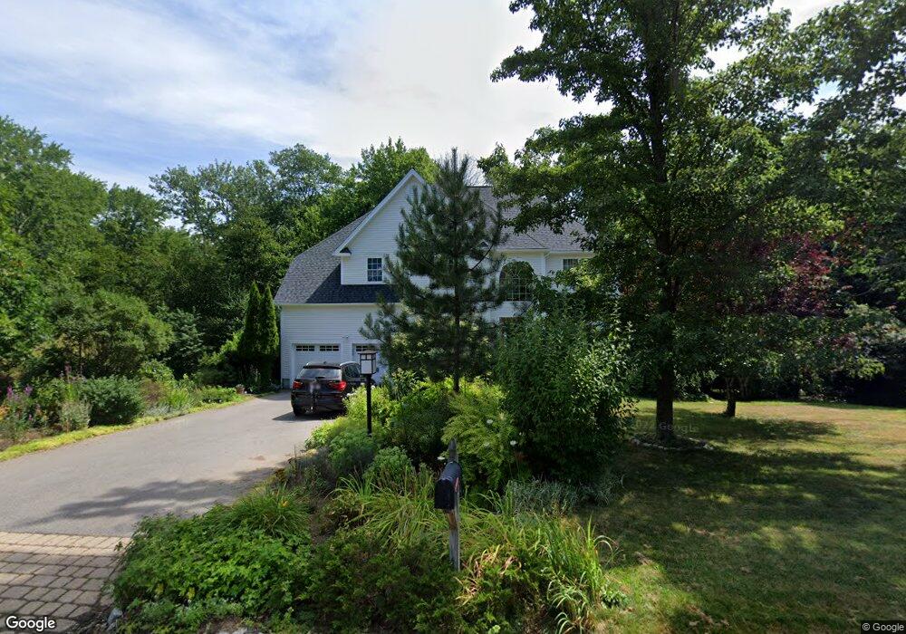
2 Summit Rd Medway, MA 02053
Estimated Value: $903,399 - $1,420,000
4
Beds
4
Baths
2,574
Sq Ft
$419/Sq Ft
Est. Value
About This Home
This home is located at 2 Summit Rd, Medway, MA 02053 and is currently estimated at $1,078,600, approximately $419 per square foot. 2 Summit Rd is a home located in Norfolk County with nearby schools including John D. McGovern Elementary School, Burke-Memorial Elementary, and Medway Middle School.
Ownership History
Date
Name
Owned For
Owner Type
Purchase Details
Closed on
May 25, 2018
Sold by
Harris Gary C
Bought by
Gary C Haris Ret
Current Estimated Value
Purchase Details
Closed on
Mar 12, 2008
Sold by
Koniger Martina E
Bought by
Harris Gary C
Purchase Details
Closed on
Dec 1, 1998
Sold by
Heavner Const Inc
Bought by
Harris Gary C
Purchase Details
Closed on
Mar 19, 1998
Sold by
Claybrook 2 Develop T
Bought by
Heavner Constr Inc
Create a Home Valuation Report for This Property
The Home Valuation Report is an in-depth analysis detailing your home's value as well as a comparison with similar homes in the area
Home Values in the Area
Average Home Value in this Area
Purchase History
| Date | Buyer | Sale Price | Title Company |
|---|---|---|---|
| Gary C Haris Ret | -- | -- | |
| Harris Gary C | -- | -- | |
| Harris Gary C | $332,425 | -- | |
| Heavner Constr Inc | $320,000 | -- |
Source: Public Records
Mortgage History
| Date | Status | Borrower | Loan Amount |
|---|---|---|---|
| Previous Owner | Heavner Constr Inc | $403,700 | |
| Previous Owner | Heavner Constr Inc | $35,000 | |
| Previous Owner | Heavner Constr Inc | $417,000 |
Source: Public Records
Tax History
| Year | Tax Paid | Tax Assessment Tax Assessment Total Assessment is a certain percentage of the fair market value that is determined by local assessors to be the total taxable value of land and additions on the property. | Land | Improvement |
|---|---|---|---|---|
| 2025 | $12,721 | $892,700 | $341,100 | $551,600 |
| 2024 | $12,855 | $892,700 | $341,100 | $551,600 |
| 2023 | $12,299 | $771,600 | $310,600 | $461,000 |
| 2022 | $11,184 | $660,600 | $230,000 | $430,600 |
| 2021 | $11,359 | $650,600 | $214,700 | $435,900 |
| 2020 | $11,223 | $641,300 | $214,700 | $426,600 |
| 2019 | $10,681 | $629,400 | $206,000 | $423,400 |
| 2018 | $9,632 | $545,400 | $206,000 | $339,400 |
| 2017 | $9,465 | $528,200 | $197,300 | $330,900 |
| 2016 | $9,165 | $506,100 | $186,400 | $319,700 |
| 2015 | $9,131 | $500,600 | $186,400 | $314,200 |
| 2014 | $9,318 | $494,600 | $187,700 | $306,900 |
Source: Public Records
Map
Nearby Homes
- 4 Bullard Cir
- 3 Thayer Rd
- 3 Nobscott Rd
- 48 Hemlock Dr
- 50 Morgans Way
- 23 Cedar Farms Rd
- 26 Timber Crest Dr
- 261 Rolling Meadow Dr
- 40 Timber Crest Dr
- 19 Sycamore Way
- 56 Fisher St
- 79 Lovering St Unit B
- 6 Kingson Ln Unit 2
- 17 Fairway Ln
- 2 Kingson Ln Unit 2
- 35 Peter St
- 11 Fairway Ln
- 0 Hill St
- 6 Freedom Trail
- 8 Winthrop St
- 4 Summit Rd
- 1 Summit Rd
- One Summit Rd
- 3 Summit Rd
- 19 Lot 19 Summit
- 21 Lot 21 Summit
- 11 Olde Surrey Ln
- 6 Summit Rd
- 9 Olde Surrey Ln
- 8 Olde Surrey Ln
- 10 Olde Surrey Ln
- 13 Olde Surrey Ln
- 9 Wildebrook Rd
- 3 Bullard Cir
- 7 Wildebrook Rd
- 10 Claybrook Farm Rd
- 7 Olde Surrey Ln
- 6 Olde Surrey Ln
- 12 Olde Surrey Ln
- 8 Wildebrook Rd
Your Personal Tour Guide
Ask me questions while you tour the home.