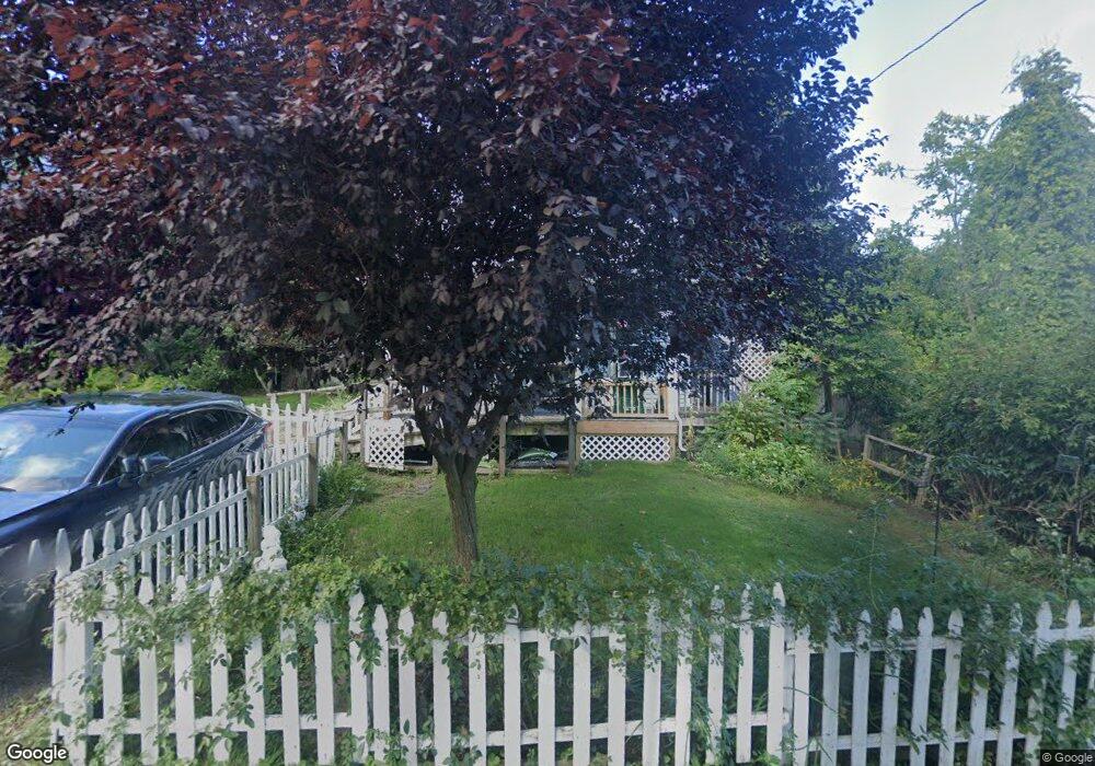
2 Symanski Ave Easthampton, MA 01027
Estimated Value: $269,000 - $334,000
3
Beds
4
Baths
1,370
Sq Ft
$215/Sq Ft
Est. Value
About This Home
This home is located at 2 Symanski Ave, Easthampton, MA 01027 and is currently estimated at $294,804, approximately $215 per square foot. 2 Symanski Ave is a home located in Hampshire County with nearby schools including Easthampton High School, Hilltown Cooperative Charter Public School, and Tri-County Schools.
Ownership History
Date
Name
Owned For
Owner Type
Purchase Details
Closed on
Jul 28, 1995
Sold by
Defazio Joseph and Defazio Joseph J
Bought by
Curry Lynn M and Lemonde Cherie A
Current Estimated Value
Home Financials for this Owner
Home Financials are based on the most recent Mortgage that was taken out on this home.
Original Mortgage
$79,400
Interest Rate
7.56%
Mortgage Type
Purchase Money Mortgage
Create a Home Valuation Report for This Property
The Home Valuation Report is an in-depth analysis detailing your home's value as well as a comparison with similar homes in the area
Home Values in the Area
Average Home Value in this Area
Purchase History
| Date | Buyer | Sale Price | Title Company |
|---|---|---|---|
| Curry Lynn M | $79,500 | -- |
Source: Public Records
Mortgage History
| Date | Status | Borrower | Loan Amount |
|---|---|---|---|
| Closed | Curry Lynn M | $67,500 | |
| Closed | Curry Lynn M | $81,597 | |
| Closed | Curry Lynn M | $79,400 |
Source: Public Records
Tax History
| Year | Tax Paid | Tax Assessment Tax Assessment Total Assessment is a certain percentage of the fair market value that is determined by local assessors to be the total taxable value of land and additions on the property. | Land | Improvement |
|---|---|---|---|---|
| 2025 | $3,264 | $238,800 | $82,800 | $156,000 |
| 2024 | $3,147 | $232,100 | $80,400 | $151,700 |
| 2023 | $2,394 | $163,400 | $63,400 | $100,000 |
| 2022 | $2,701 | $163,400 | $63,400 | $100,000 |
| 2021 | $2,961 | $168,800 | $63,400 | $105,400 |
| 2020 | $2,902 | $163,400 | $63,400 | $100,000 |
| 2019 | $2,494 | $161,300 | $63,400 | $97,900 |
| 2018 | $2,403 | $150,200 | $59,900 | $90,300 |
| 2017 | $2,346 | $144,700 | $57,600 | $87,100 |
| 2016 | $2,256 | $144,700 | $57,600 | $87,100 |
| 2015 | $2,192 | $144,700 | $57,600 | $87,100 |
Source: Public Records
Map
Nearby Homes
- 457 Northampton St
- 57 Columbus Ave
- 18 Cedar St
- 21 Lyman Rd Unit B
- 283 South St
- 641 Northampton St
- 107 Williams St Unit 2c
- 107 Williams St
- 107 Williams St Unit 3c
- 107 Williams St Unit A1
- 107 Williams St Unit 2B
- 10 Glen Cove Place Unit A
- 12 Glen Cove Place Unit B
- 8 Hockanum Rd Unit 10
- 4 School St
- 12 School St
- Lot 1 Edgewater Ln
- 23 Randolph Place Unit 109
- 23 Eastern Ave
- 244 Main St
Your Personal Tour Guide
Ask me questions while you tour the home.