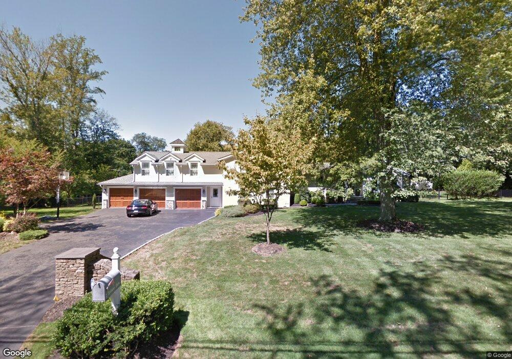
2 Terhune Dr Westport, CT 06880
Staples NeighborhoodEstimated Value: $1,400,000 - $2,443,000
4
Beds
3
Baths
3,539
Sq Ft
$584/Sq Ft
Est. Value
About This Home
This home is located at 2 Terhune Dr, Westport, CT 06880 and is currently estimated at $2,067,324, approximately $584 per square foot. 2 Terhune Dr is a home located in Fairfield County with nearby schools including Long Lots School, Bedford Middle School, and Staples High School.
Ownership History
Date
Name
Owned For
Owner Type
Purchase Details
Closed on
Jul 31, 2001
Sold by
Hoogs Evan
Bought by
Lundquist Erik and Lundquist Debra
Current Estimated Value
Purchase Details
Closed on
Oct 8, 1997
Sold by
Sanderson Robert and Sanderson Barbara
Bought by
Hoogs Evan
Purchase Details
Closed on
Jul 7, 1995
Sold by
Demayo James and Demayo Esther
Bought by
Sanderson Robert and Sanderson Barbara
Create a Home Valuation Report for This Property
The Home Valuation Report is an in-depth analysis detailing your home's value as well as a comparison with similar homes in the area
Home Values in the Area
Average Home Value in this Area
Purchase History
| Date | Buyer | Sale Price | Title Company |
|---|---|---|---|
| Lundquist Erik | $570,000 | -- | |
| Lundquist Erik | $570,000 | -- | |
| Hoogs Evan | $535,000 | -- | |
| Hoogs Evan | $535,000 | -- | |
| Sanderson Robert | $422,000 | -- | |
| Sanderson Robert | $422,000 | -- |
Source: Public Records
Mortgage History
| Date | Status | Borrower | Loan Amount |
|---|---|---|---|
| Open | Sanderson Robert | $417,000 | |
| Closed | Sanderson Robert | $410,000 |
Source: Public Records
Tax History
| Year | Tax Paid | Tax Assessment Tax Assessment Total Assessment is a certain percentage of the fair market value that is determined by local assessors to be the total taxable value of land and additions on the property. | Land | Improvement |
|---|---|---|---|---|
| 2025 | $16,587 | $879,500 | $416,400 | $463,100 |
| 2024 | $16,376 | $879,500 | $416,400 | $463,100 |
| 2023 | $16,139 | $879,500 | $416,400 | $463,100 |
| 2022 | $15,893 | $879,500 | $416,400 | $463,100 |
| 2021 | $7,122 | $879,500 | $416,400 | $463,100 |
| 2020 | $13,234 | $792,000 | $425,800 | $366,200 |
| 2019 | $13,353 | $792,000 | $425,800 | $366,200 |
| 2018 | $13,353 | $792,000 | $425,800 | $366,200 |
| 2017 | $13,353 | $792,000 | $425,800 | $366,200 |
| 2016 | $13,353 | $792,000 | $425,800 | $366,200 |
| 2015 | $11,456 | $633,300 | $352,700 | $280,600 |
| 2014 | $11,361 | $633,300 | $352,700 | $280,600 |
Source: Public Records
Map
Nearby Homes
- 13 Terhune Dr
- 44 Pumpkin Hill Rd
- 16 Burr School Rd
- 116 Roseville Rd
- 14 Burr School Rd
- 118 Roseville Rd
- 4 Burr Farms Rd
- 1 Angora Rd
- 21 Sturges Commons
- 10 Wakenor Rd
- 28 Turkey Hill Rd N
- 32 Webb Rd
- 80 Compo Rd N
- 10 Debra Ln
- 53 Cross Hwy
- 785 Post Rd E Unit 303
- 785 Post Rd E Unit 302
- 785 Post Rd E Unit 304
- 785 Post Rd E Unit 102
- 783 Post Rd E Unit 201
Your Personal Tour Guide
Ask me questions while you tour the home.