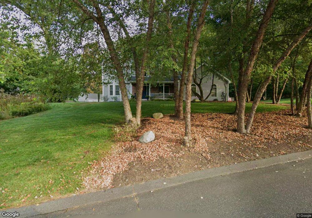
2 Tigger Ln South Hadley, MA 01075
Estimated Value: $576,571 - $759,000
3
Beds
3
Baths
2,053
Sq Ft
$319/Sq Ft
Est. Value
About This Home
This home is located at 2 Tigger Ln, South Hadley, MA 01075 and is currently estimated at $655,143, approximately $319 per square foot. 2 Tigger Ln is a home located in Hampshire County with nearby schools including Plains Elementary School, Mosier Elementary School, and Michael E. Smith Middle School.
Ownership History
Date
Name
Owned For
Owner Type
Purchase Details
Closed on
Dec 6, 2023
Sold by
Bouyea Michael J and Bouyea Lynn A
Bought by
Michael and Lynn Bouyea
Current Estimated Value
Purchase Details
Closed on
Oct 18, 2002
Sold by
Muldoon Daniel F
Bought by
Bouyea Lynn A and Bouyea Michael J
Home Financials for this Owner
Home Financials are based on the most recent Mortgage that was taken out on this home.
Original Mortgage
$280,250
Interest Rate
6.18%
Mortgage Type
Purchase Money Mortgage
Purchase Details
Closed on
Apr 16, 2002
Sold by
Ladizki David A
Bought by
Muldoon Daniel F
Home Financials for this Owner
Home Financials are based on the most recent Mortgage that was taken out on this home.
Original Mortgage
$216,700
Interest Rate
6.84%
Mortgage Type
Purchase Money Mortgage
Create a Home Valuation Report for This Property
The Home Valuation Report is an in-depth analysis detailing your home's value as well as a comparison with similar homes in the area
Home Values in the Area
Average Home Value in this Area
Purchase History
| Date | Buyer | Sale Price | Title Company |
|---|---|---|---|
| Michael | -- | None Available | |
| Bouyea Lynn A | $295,000 | -- | |
| Muldoon Daniel F | $75,000 | -- |
Source: Public Records
Mortgage History
| Date | Status | Borrower | Loan Amount |
|---|---|---|---|
| Previous Owner | Muldoon Daniel F | $256,500 | |
| Previous Owner | Muldoon Daniel F | $263,000 | |
| Previous Owner | Muldoon Daniel F | $280,250 | |
| Previous Owner | Muldoon Daniel F | $216,700 |
Source: Public Records
Tax History
| Year | Tax Paid | Tax Assessment Tax Assessment Total Assessment is a certain percentage of the fair market value that is determined by local assessors to be the total taxable value of land and additions on the property. | Land | Improvement |
|---|---|---|---|---|
| 2025 | $9,063 | $568,900 | $159,000 | $409,900 |
| 2024 | $9,121 | $547,800 | $148,500 | $399,300 |
| 2023 | $9,065 | $516,500 | $134,900 | $381,600 |
| 2022 | $8,614 | $466,100 | $134,900 | $331,200 |
| 2021 | $8,525 | $438,100 | $126,500 | $311,600 |
| 2020 | $8,289 | $415,700 | $126,500 | $289,200 |
| 2019 | $8,574 | $425,500 | $137,900 | $287,600 |
| 2018 | $8,253 | $414,100 | $134,000 | $280,100 |
| 2017 | $7,935 | $394,400 | $134,000 | $260,400 |
| 2016 | $8,025 | $404,300 | $134,900 | $269,400 |
| 2015 | $7,616 | $393,000 | $131,000 | $262,000 |
Source: Public Records
Map
Nearby Homes
- 60 Hampton Knolls Rd
- 1177 Northampton St
- 31 Wellesley Rd
- 1 Dover Rd
- 37 Bemis Rd
- 43 W Summit St Unit A10
- 154 Madison Ave
- 25 Morgan St
- 76 Nonotuck St
- 391 Pleasant St
- 4 Sunrise Cir
- Lot 1 Edgewater Ln
- 641 Northampton St
- 1022-1024 Hampden St
- 45-47 High St
- 1137 Dwight St Unit C
- 275 Suffolk St
- 1 Wood Ave
- 219 Suffolk St
- 328 Newton St
Your Personal Tour Guide
Ask me questions while you tour the home.