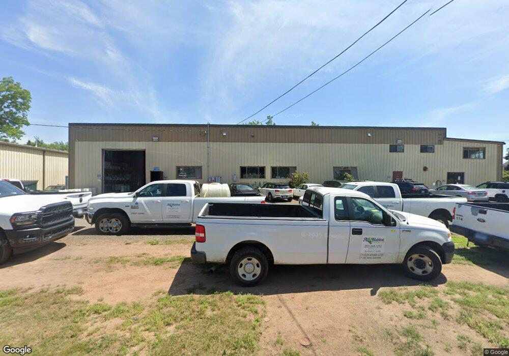
2 Tipping Dr Branford, CT 06405
Estimated Value: $1,521,696
--
Bed
--
Bath
17,702
Sq Ft
$86/Sq Ft
Est. Value
About This Home
This home is located at 2 Tipping Dr, Branford, CT 06405 and is currently estimated at $1,521,696, approximately $85 per square foot. 2 Tipping Dr is a home located in New Haven County with nearby schools including Francis Walsh Intermediate School, Branford High School, and East Shoreline Catholic Academy.
Ownership History
Date
Name
Owned For
Owner Type
Purchase Details
Closed on
Jan 26, 2010
Sold by
Marjore W Hall Ft and Hall Marcus A
Bought by
Avian Dream Llc
Current Estimated Value
Home Financials for this Owner
Home Financials are based on the most recent Mortgage that was taken out on this home.
Original Mortgage
$747,000
Outstanding Balance
$488,416
Interest Rate
4.79%
Mortgage Type
Commercial
Estimated Equity
$1,033,280
Create a Home Valuation Report for This Property
The Home Valuation Report is an in-depth analysis detailing your home's value as well as a comparison with similar homes in the area
Home Values in the Area
Average Home Value in this Area
Purchase History
| Date | Buyer | Sale Price | Title Company |
|---|---|---|---|
| Avian Dream Llc | $830,000 | -- |
Source: Public Records
Mortgage History
| Date | Status | Borrower | Loan Amount |
|---|---|---|---|
| Open | Avian Dream Llc | $747,000 | |
| Closed | Avian Dream Llc | $337,000 | |
| Previous Owner | Avian Dream Llc | $340,000 |
Source: Public Records
Tax History Compared to Growth
Tax History
| Year | Tax Paid | Tax Assessment Tax Assessment Total Assessment is a certain percentage of the fair market value that is determined by local assessors to be the total taxable value of land and additions on the property. | Land | Improvement |
|---|---|---|---|---|
| 2025 | $16,442 | $768,300 | $258,500 | $509,800 |
| 2024 | $19,004 | $623,500 | $163,700 | $459,800 |
| 2023 | $18,636 | $623,500 | $163,700 | $459,800 |
| 2022 | $18,362 | $623,500 | $163,700 | $459,800 |
| 2021 | $18,362 | $623,500 | $163,700 | $459,800 |
| 2020 | $19,835 | $685,850 | $180,070 | $505,780 |
| 2019 | $17,561 | $604,100 | $158,900 | $445,200 |
| 2018 | $17,301 | $604,100 | $158,900 | $445,200 |
| 2017 | $17,199 | $604,100 | $158,900 | $445,200 |
| 2016 | $16,558 | $604,100 | $158,900 | $445,200 |
| 2015 | $16,268 | $604,100 | $158,900 | $445,200 |
| 2014 | $16,728 | $637,500 | $158,900 | $478,600 |
Source: Public Records
Map
Nearby Homes
- 11 School Ground Rd Unit TRLR 10
- 525 E Main St Unit 33
- 525 E Main St Unit 23
- 525 E Main St Unit 56
- 525 E Main St Unit 44
- 525 E Main St Unit 8
- 63 Gould Ln
- 0 Gould Ln
- 18 Ridge Acres Rd
- 13 Pond View Terrace
- 0 Beechwood Rd
- 223 Twin Lakes Rd Unit D
- 229 Branford Rd Unit 519
- 229 Branford Rd Unit 520
- 200 Damascus Rd
- 72 Notch Hill Rd
- 10 Corbin Cir
- 260 Notch Hill Rd
- 10 Lea Rd
- 15 Griffing Pond Rd
- 46 Tipping Dr
- 75 School Ground Rd
- 114 School Ground Rd
- 83 School Ground Rd
- 3 Research Dr
- 92 School Ground Rd
- 22 Marbar St
- 53 School Ground Rd
- 18 Marbar St
- 100 School Ground Rd
- 14 Marbar St
- 19 Marbar St
- 108 School Ground Rd
- 15 Research Dr
- 17 Marbar St
- 10 Marbar St
- 15 Marbar St
- 11 Marbar St
- 4 Marbar St
- 215 N Branford Rd