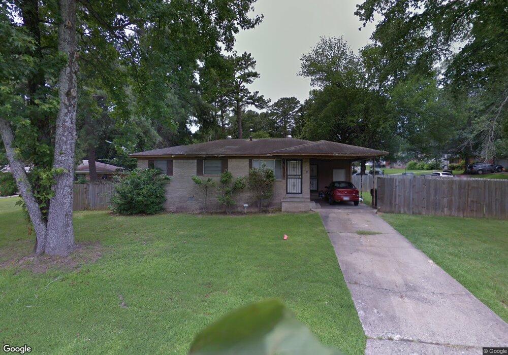
2 Vassar Cir Little Rock, AR 72204
John Barrow NeighborhoodEstimated Value: $91,195 - $143,000
--
Bed
3
Baths
1,068
Sq Ft
$111/Sq Ft
Est. Value
About This Home
This home is located at 2 Vassar Cir, Little Rock, AR 72204 and is currently estimated at $118,799, approximately $111 per square foot. 2 Vassar Cir is a home located in Pulaski County with nearby schools including Bale Elementary School, J.A. Fair K8 Preparatory School, and Henderson Middle School.
Ownership History
Date
Name
Owned For
Owner Type
Purchase Details
Closed on
Jul 1, 2009
Sold by
Richardson Ira Andre
Bought by
Johnson Deneshia
Current Estimated Value
Home Financials for this Owner
Home Financials are based on the most recent Mortgage that was taken out on this home.
Original Mortgage
$3,112
Outstanding Balance
$1,987
Interest Rate
4.97%
Mortgage Type
Unknown
Estimated Equity
$116,812
Purchase Details
Closed on
Apr 23, 1997
Sold by
Starks Lawanna Richardson
Bought by
Richardson Ira Andre
Create a Home Valuation Report for This Property
The Home Valuation Report is an in-depth analysis detailing your home's value as well as a comparison with similar homes in the area
Home Values in the Area
Average Home Value in this Area
Purchase History
| Date | Buyer | Sale Price | Title Company |
|---|---|---|---|
| Johnson Deneshia | $75,000 | First National Title | |
| Richardson Ira Andre | -- | American Abstract & Title Co |
Source: Public Records
Mortgage History
| Date | Status | Borrower | Loan Amount |
|---|---|---|---|
| Open | Johnson Deneshia | $3,112 | |
| Open | Johnson Deneshia | $73,641 |
Source: Public Records
Tax History Compared to Growth
Tax History
| Year | Tax Paid | Tax Assessment Tax Assessment Total Assessment is a certain percentage of the fair market value that is determined by local assessors to be the total taxable value of land and additions on the property. | Land | Improvement |
|---|---|---|---|---|
| 2025 | $904 | $12,921 | $1,200 | $11,721 |
| 2024 | $796 | $12,921 | $1,200 | $11,721 |
| 2023 | $796 | $12,921 | $1,200 | $11,721 |
| 2022 | $729 | $12,921 | $1,200 | $11,721 |
| 2021 | $668 | $9,470 | $2,500 | $6,970 |
| 2020 | $663 | $9,470 | $2,500 | $6,970 |
| 2019 | $663 | $9,470 | $2,500 | $6,970 |
| 2018 | $663 | $9,470 | $2,500 | $6,970 |
| 2017 | $663 | $9,470 | $2,500 | $6,970 |
| 2016 | $803 | $11,470 | $2,540 | $8,930 |
| 2015 | $804 | $11,470 | $2,540 | $8,930 |
| 2014 | $804 | $11,470 | $2,540 | $8,930 |
Source: Public Records
Map
Nearby Homes
- 7800 W 29th St
- 2918 Vancouver Dr
- 2922 Vancouver Dr
- 2522 Quebec Dr
- 3101 Gilman St
- 3224 Wynne St
- 3215 Katherine St
- 8212 W 24th St
- 8200 W 34th St
- 3316 Zion St
- 3918 W 23rd St
- 10 Talmage Dr
- 6901 Archwood Dr
- 6911 Talmage Dr
- 8300 W 23rd St
- 000 Potter St
- 6906 W 33rd St
- 2805 Longcoy St
- 8414 W 36th St
- 3613 Boyd St