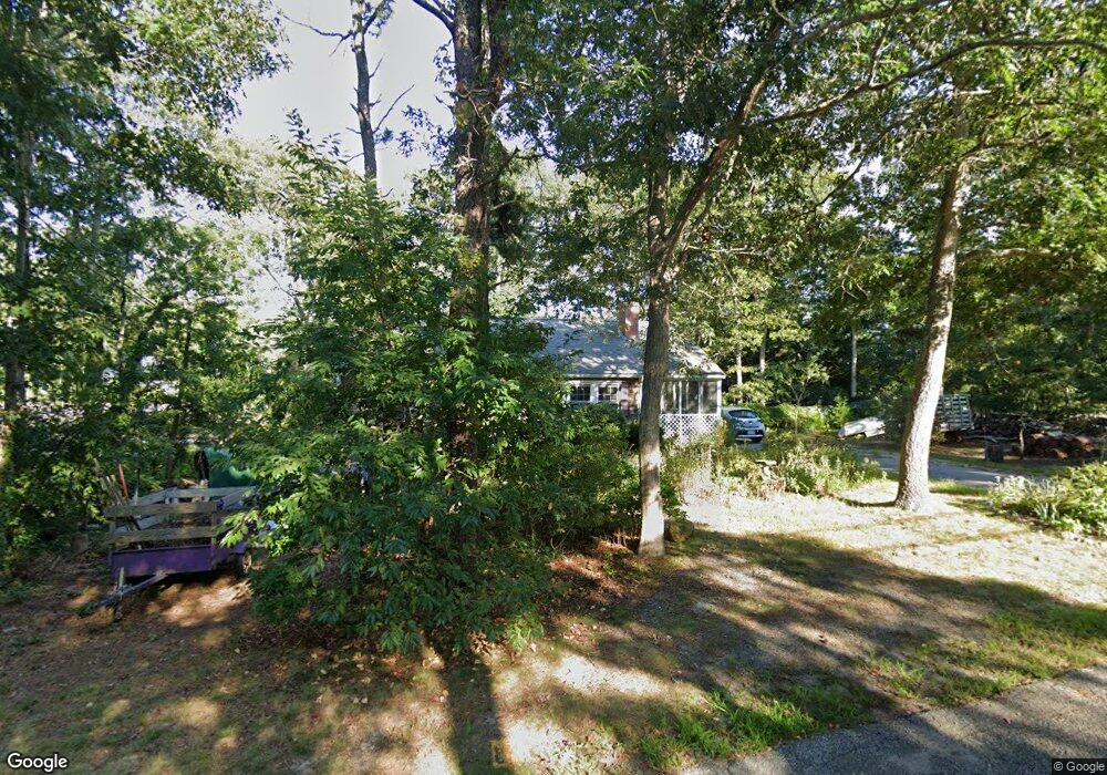
2 Westwind Dr Dennis, MA 02638
East Dennis NeighborhoodEstimated Value: $486,000 - $581,000
2
Beds
1
Bath
768
Sq Ft
$679/Sq Ft
Est. Value
About This Home
This home is located at 2 Westwind Dr, Dennis, MA 02638 and is currently estimated at $521,739, approximately $679 per square foot. 2 Westwind Dr is a home located in Barnstable County with nearby schools including Dennis-Yarmouth Regional High School.
Ownership History
Date
Name
Owned For
Owner Type
Purchase Details
Closed on
Aug 31, 2020
Sold by
Katchmar Gerald P and Katchmar Karen L
Bought by
Katchmar Alexis J
Current Estimated Value
Home Financials for this Owner
Home Financials are based on the most recent Mortgage that was taken out on this home.
Original Mortgage
$205,000
Outstanding Balance
$181,924
Interest Rate
2.9%
Mortgage Type
New Conventional
Estimated Equity
$339,815
Purchase Details
Closed on
Dec 23, 1986
Bought by
Katchmar Gerald P and Katchmar Karen L
Create a Home Valuation Report for This Property
The Home Valuation Report is an in-depth analysis detailing your home's value as well as a comparison with similar homes in the area
Home Values in the Area
Average Home Value in this Area
Purchase History
| Date | Buyer | Sale Price | Title Company |
|---|---|---|---|
| Katchmar Alexis J | $225,000 | None Available | |
| Katchmar Gerald P | $124,000 | -- |
Source: Public Records
Mortgage History
| Date | Status | Borrower | Loan Amount |
|---|---|---|---|
| Open | Katchmar Alexis J | $205,000 | |
| Previous Owner | Katchmar Gerald P | $84,200 |
Source: Public Records
Tax History
| Year | Tax Paid | Tax Assessment Tax Assessment Total Assessment is a certain percentage of the fair market value that is determined by local assessors to be the total taxable value of land and additions on the property. | Land | Improvement |
|---|---|---|---|---|
| 2025 | $1,939 | $447,900 | $169,800 | $278,100 |
| 2024 | $1,779 | $405,200 | $163,300 | $241,900 |
| 2023 | $1,720 | $368,300 | $148,400 | $219,900 |
| 2022 | $1,664 | $297,200 | $133,700 | $163,500 |
| 2021 | $1,593 | $264,200 | $131,100 | $133,100 |
| 2020 | $1,535 | $251,700 | $131,100 | $120,600 |
| 2019 | $1,525 | $247,200 | $140,200 | $107,000 |
| 2018 | $1,463 | $230,700 | $133,500 | $97,200 |
| 2017 | $1,331 | $216,400 | $122,400 | $94,000 |
| 2016 | $1,420 | $217,400 | $139,000 | $78,400 |
| 2015 | $1,391 | $217,400 | $139,000 | $78,400 |
| 2014 | $1,275 | $200,800 | $122,400 | $78,400 |
Source: Public Records
Map
Nearby Homes
- 58 Terrace Hill Dr
- 61 Terrace Hill Dr
- 930 Old Bass River Rd
- 31 High Head Rd
- 276 Scargo Hill Rd
- 32 Captain Walsh Dr
- 35 Crown Grant Dr
- 6 Thomas Ct
- 15 Signal Hill Dr
- 645 Main St Back Lot
- 102 Prince Way
- 26 S West Dr
- 39 Whittier Dr
- 19 Deacon Joseph Ln
- 480 Main St
- 1354 Route 134
- 59 Hope Ln
- 268 Main St
- 25 Whig St
- 19 Whig St
- 1 Westwind Dr
- 257 Paddocks Path
- 3 Southport Ln
- 5 Southport Ln
- 5 Westwind Dr
- 253 Paddocks Path
- 9 Westwind Dr
- 18 Westwind Dr
- 13 Westwind Dr
- 6 Southport Ln
- 146 Hokum Rock Rd
- 256 Paddocks Path
- 245 Paddocks Path
- 17 Westwind Dr
- 114 Hokum Rock Rd
- 105 Hokum Rock Rd
- 14 Lindsey Ln
- 2 Anchor Ln
- 8 Anchor
- 22 Westwind Dr
Your Personal Tour Guide
Ask me questions while you tour the home.