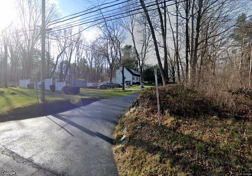
2 Wilson Rd Weston, CT 06883
Estimated Value: $752,000 - $1,666,000
3
Beds
2
Baths
1,684
Sq Ft
$589/Sq Ft
Est. Value
About This Home
This home is located at 2 Wilson Rd, Weston, CT 06883 and is currently estimated at $992,636, approximately $589 per square foot. 2 Wilson Rd is a home located in Fairfield County with nearby schools including Hurlbutt Elementary School, Weston Intermediate School, and Weston Middle School.
Ownership History
Date
Name
Owned For
Owner Type
Purchase Details
Closed on
May 23, 2007
Sold by
Fritz Deborah A
Bought by
Crew Brooke
Current Estimated Value
Home Financials for this Owner
Home Financials are based on the most recent Mortgage that was taken out on this home.
Original Mortgage
$480,000
Outstanding Balance
$293,559
Interest Rate
6.27%
Estimated Equity
$699,077
Purchase Details
Closed on
Jun 7, 1989
Sold by
Donoforio Gene
Bought by
Manley Marc
Create a Home Valuation Report for This Property
The Home Valuation Report is an in-depth analysis detailing your home's value as well as a comparison with similar homes in the area
Home Values in the Area
Average Home Value in this Area
Purchase History
| Date | Buyer | Sale Price | Title Company |
|---|---|---|---|
| Crew Brooke | $1,200,000 | -- | |
| Manley Marc | $218,000 | -- |
Source: Public Records
Mortgage History
| Date | Status | Borrower | Loan Amount |
|---|---|---|---|
| Open | Manley Marc | $480,000 | |
| Closed | Manley Marc | $200,000 | |
| Previous Owner | Manley Marc | $330,000 |
Source: Public Records
Tax History
| Year | Tax Paid | Tax Assessment Tax Assessment Total Assessment is a certain percentage of the fair market value that is determined by local assessors to be the total taxable value of land and additions on the property. | Land | Improvement |
|---|---|---|---|---|
| 2025 | $9,352 | $391,300 | $156,870 | $234,430 |
| 2024 | $9,184 | $391,300 | $156,870 | $234,430 |
| 2023 | $9,233 | $279,270 | $156,870 | $122,400 |
| 2022 | $9,208 | $279,270 | $156,870 | $122,400 |
| 2021 | $9,194 | $279,270 | $156,870 | $122,400 |
| 2020 | $8,844 | $273,230 | $156,870 | $116,360 |
| 2019 | $8,761 | $270,650 | $156,880 | $113,770 |
| 2018 | $8,359 | $284,400 | $150,500 | $133,900 |
| 2017 | $8,222 | $284,400 | $150,500 | $133,900 |
| 2016 | $8,122 | $284,400 | $150,500 | $133,900 |
| 2015 | $8,154 | $284,400 | $150,500 | $133,900 |
| 2014 | $8,031 | $284,400 | $150,500 | $133,900 |
Source: Public Records
Map
Nearby Homes
- 96 Georgetown Rd
- 12 Godfrey Rd W
- 38 Honey Hill Rd
- 15 Mountain View Dr
- 28 Old Orchard Dr
- 4 Trails End Rd
- 00 Old Mill Rd
- 14 Langner Ln
- 290 Newtown Turnpike
- 0 Old Mill Rd
- 349 Mountain Rd
- 475 Danbury Rd
- 852 Danbury Rd
- 0 Mountain Rd
- 20 Mountain Rd
- 30 Lords Hwy
- 64 Portland Ave
- 78 Pin Oak Ln
- 76 Lords Hwy
- 41 Calvin Rd
- 6 Wilson Rd
- 163 Georgetown Rd
- 171 Georgetown Rd
- 170 Georgetown Rd
- 9 Wilson Rd
- 10 Wilson Rd
- 172 Georgetown Rd
- 159 Georgetown Rd
- 180 Georgetown Rd
- 175 Georgetown Rd
- 13 Wilson Rd
- 173 Georgetown Rd
- 6 Maureen Dr
- 147 Georgetown Rd
- 16 Wilson Rd
- 162 Georgetown Rd
- 149 Georgetown Rd
- 15 Wilson Rd
- 181 Georgetown Rd
- 19 Wilson Rd
Your Personal Tour Guide
Ask me questions while you tour the home.