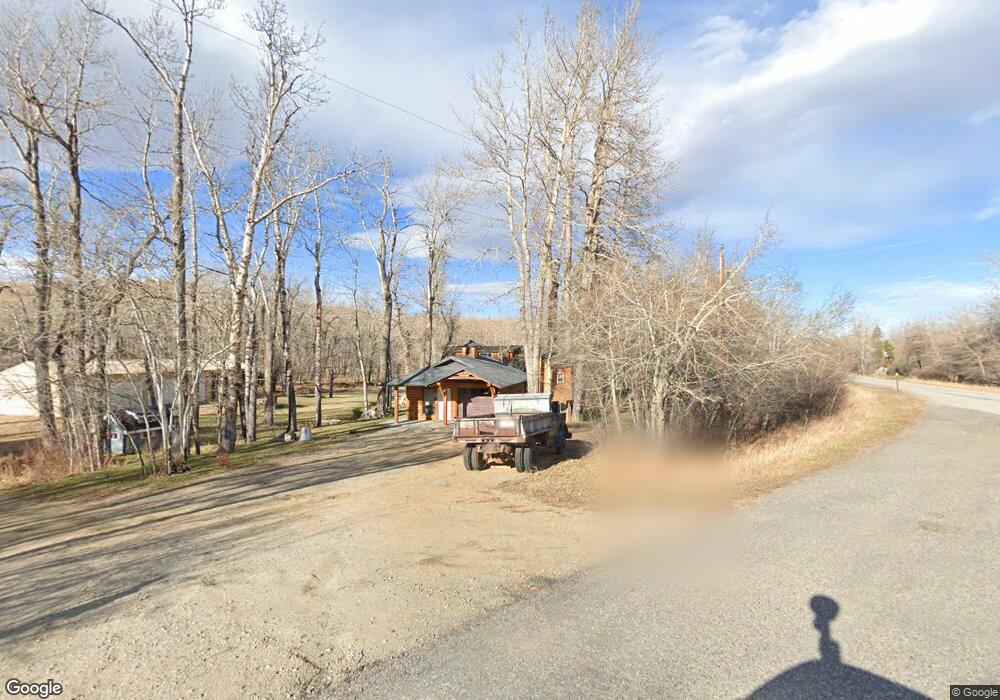
2 Wounded Deer Ln Roscoe, MT 59071
Estimated Value: $410,256 - $807,000
2
Beds
2
Baths
928
Sq Ft
$612/Sq Ft
Est. Value
About This Home
This home is located at 2 Wounded Deer Ln, Roscoe, MT 59071 and is currently estimated at $567,814, approximately $611 per square foot. 2 Wounded Deer Ln is a home with nearby schools including Absarokee School, Absarokee Junior High School, and Red Lodge High School.
Ownership History
Date
Name
Owned For
Owner Type
Purchase Details
Closed on
Sep 16, 2024
Sold by
Mennie Michael L
Bought by
Te Mettes Robert and Te Roscoe Balasm
Current Estimated Value
Purchase Details
Closed on
Aug 14, 2008
Bought by
Mennie Michael L and Balsam Constance J
Home Financials for this Owner
Home Financials are based on the most recent Mortgage that was taken out on this home.
Original Mortgage
$100,000
Interest Rate
6.32%
Mortgage Type
New Conventional
Create a Home Valuation Report for This Property
The Home Valuation Report is an in-depth analysis detailing your home's value as well as a comparison with similar homes in the area
Purchase History
| Date | Buyer | Sale Price | Title Company |
|---|---|---|---|
| Te Mettes Robert | -- | Attorney Only | |
| Mennie Michael L | -- | -- |
Source: Public Records
Mortgage History
| Date | Status | Borrower | Loan Amount |
|---|---|---|---|
| Previous Owner | Mennie Michael L | $100,000 |
Source: Public Records
Tax History
| Year | Tax Paid | Tax Assessment Tax Assessment Total Assessment is a certain percentage of the fair market value that is determined by local assessors to be the total taxable value of land and additions on the property. | Land | Improvement |
|---|---|---|---|---|
| 2025 | $1,302 | $401,700 | $0 | $0 |
| 2024 | $1,769 | $325,900 | $0 | $0 |
| 2023 | $1,648 | $325,900 | $0 | $0 |
| 2022 | $1,755 | $297,200 | $0 | $0 |
| 2021 | $1,790 | $297,200 | $0 | $0 |
| 2020 | $1,396 | $230,800 | $0 | $0 |
| 2019 | $1,422 | $230,800 | $0 | $0 |
| 2018 | $1,476 | $230,300 | $0 | $0 |
| 2017 | $1,489 | $230,300 | $0 | $0 |
| 2016 | $1,299 | $200,200 | $0 | $0 |
| 2015 | $1,254 | $200,200 | $0 | $0 |
| 2014 | $1,015 | $88,775 | $0 | $0 |
Source: Public Records
Map
Nearby Homes
- HWY 78 Parcel 1
- 24 E Rosebud Rd
- 20-21 Turkey Creek Dr
- 20 Turkey Creek Dr
- 629 E Rosebud Rd
- Tbd 14 Ac Lower Luther Rd
- TBD 14 Ac Lower Luther Rd
- 46 Sage Run Ln
- 10 Beaver Dam Dr
- 2 Turnback Trail
- 59 Turnback Trail
- 235 Upper Red Lodge Creek Rd
- 2825 & 2830 Highway 78 S
- 265 Upper Luther Rd
- 2994 Highway 78
- 1 Hillside Dr
- 20 Crow Child Trail
- 616 Red Lodge Creek Rd
- 94 Sheep Mountain Road (W 614 Ac State Lease)
- 175 National Forest Development Road 1414
- 6 Wounded Deer Ln
- 2 E Rosebud Rd
- LOT 1 3 R's East Rosebud Rd Roscoe
- LOT 1 3 R's East Rosebud Rd
- 1996 Highway 78
- 2 Dream Dance Ln
- 16 E Rosebud Rd
- 1975 Montana 78
- 1973 Highway 78
- 12 E Rosebud Rd
- 0 E Rosebud Rd
- TBD E Rosebud Rd
- 15 E Rosebud Rd
- 8 Dream Ln
- 21 E Rosebud Rd
- 32 E Rosebud Rd
- 47 E Rosebud Rd
- 39 Turkey Creek Dr
- 11 Barnett Ln
- 38 Turkey Creek Dr
Your Personal Tour Guide
Ask me questions while you tour the home.