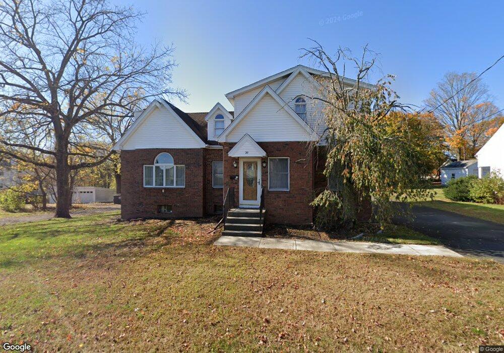
20 Abbott Ave Danbury, CT 06810
Estimated Value: $556,000 - $656,000
3
Beds
3
Baths
2,328
Sq Ft
$256/Sq Ft
Est. Value
About This Home
This home is located at 20 Abbott Ave, Danbury, CT 06810 and is currently estimated at $596,559, approximately $256 per square foot. 20 Abbott Ave is a home located in Fairfield County with nearby schools including Mill Ridge Primary School, Rogers Park Middle School, and Danbury High School.
Ownership History
Date
Name
Owned For
Owner Type
Purchase Details
Closed on
Apr 20, 1993
Sold by
Cag Inc
Bought by
Haddad Conrad and Haddad Joann
Current Estimated Value
Purchase Details
Closed on
Jun 27, 1988
Sold by
Bailey Jesse
Bought by
Haddad Conrad
Home Financials for this Owner
Home Financials are based on the most recent Mortgage that was taken out on this home.
Original Mortgage
$110,000
Interest Rate
10.36%
Create a Home Valuation Report for This Property
The Home Valuation Report is an in-depth analysis detailing your home's value as well as a comparison with similar homes in the area
Home Values in the Area
Average Home Value in this Area
Purchase History
| Date | Buyer | Sale Price | Title Company |
|---|---|---|---|
| Haddad Conrad | $45,000 | -- | |
| Haddad Conrad | $147,000 | -- |
Source: Public Records
Mortgage History
| Date | Status | Borrower | Loan Amount |
|---|---|---|---|
| Open | Haddad Conrad | $140,000 | |
| Closed | Haddad Conrad | $169,000 | |
| Closed | Haddad Conrad | $32,154 | |
| Previous Owner | Haddad Conrad | $110,000 |
Source: Public Records
Tax History
| Year | Tax Paid | Tax Assessment Tax Assessment Total Assessment is a certain percentage of the fair market value that is determined by local assessors to be the total taxable value of land and additions on the property. | Land | Improvement |
|---|---|---|---|---|
| 2025 | $7,909 | $316,470 | $77,980 | $238,490 |
| 2024 | $7,735 | $316,470 | $77,980 | $238,490 |
| 2023 | $7,383 | $316,470 | $77,980 | $238,490 |
| 2022 | $6,217 | $220,300 | $74,300 | $146,000 |
| 2021 | $6,080 | $220,300 | $74,300 | $146,000 |
| 2020 | $6,080 | $220,300 | $74,300 | $146,000 |
| 2019 | $6,080 | $220,300 | $74,300 | $146,000 |
| 2018 | $6,080 | $220,300 | $74,300 | $146,000 |
| 2017 | $5,587 | $193,000 | $70,800 | $122,200 |
| 2016 | $5,535 | $193,000 | $70,800 | $122,200 |
| 2015 | $5,454 | $193,000 | $70,800 | $122,200 |
| 2014 | $5,327 | $193,000 | $70,800 | $122,200 |
Source: Public Records
Map
Nearby Homes
- 67 B Westville Ave
- 17 Staples St
- 59 Pleasant St
- 57 Pleasant St
- 26 Crescent Dr
- 81 Park Ave Unit 2008
- 12 Scuppo Rd Unit D4
- 18 Grandview Ave
- 22 Irving Place
- 16 Fairview Dr Unit 3
- 79 W Wooster St
- 34 Mallory St
- 8 Ann Dr Unit B
- 23 Scuppo Rd Unit 5-7
- 11 Wooster Heights
- 26 Walden Ct Unit Lot 6
- 31 William St
- 52 Jefferson Ave
- 1 Wilderswood Way
- 23 Franklin St Unit 1
Your Personal Tour Guide
Ask me questions while you tour the home.