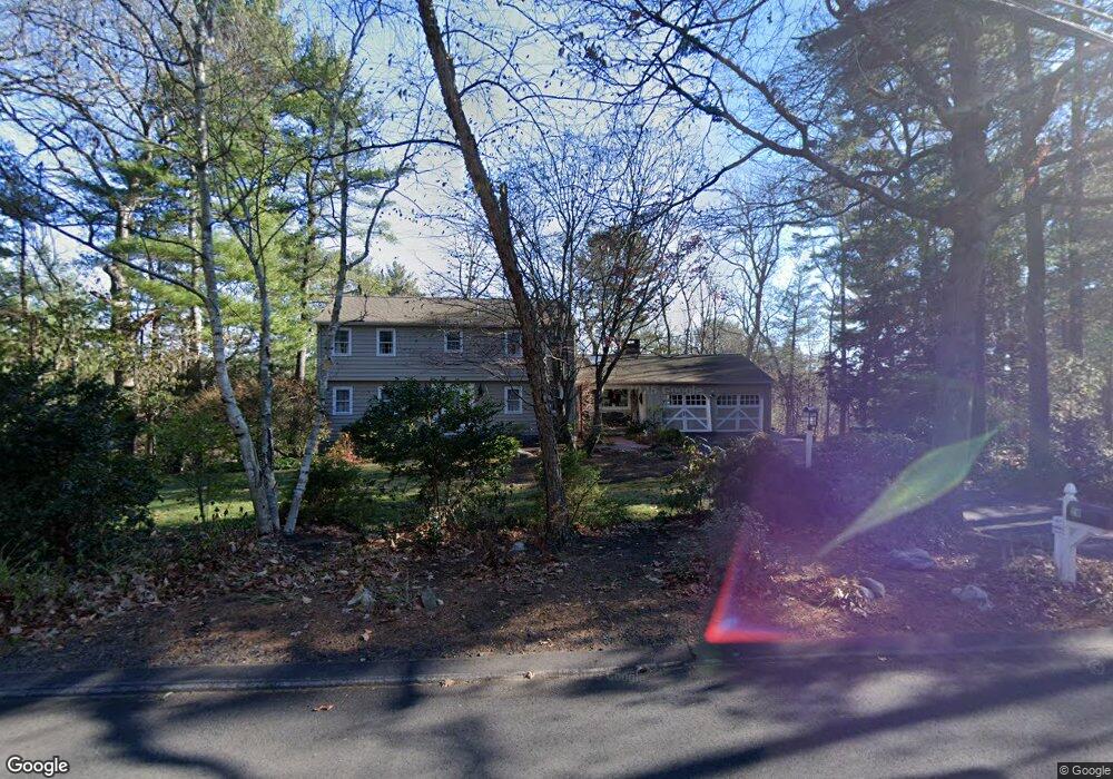
20 Alden Rd Wayland, MA 01778
Estimated Value: $1,127,000 - $1,705,000
4
Beds
3
Baths
2,362
Sq Ft
$562/Sq Ft
Est. Value
About This Home
This home is located at 20 Alden Rd, Wayland, MA 01778 and is currently estimated at $1,327,837, approximately $562 per square foot. 20 Alden Rd is a home located in Middlesex County with nearby schools including Wayland High School, Veritas Christian Academy, and The Rivers School.
Ownership History
Date
Name
Owned For
Owner Type
Purchase Details
Closed on
Jun 22, 2018
Sold by
Griffin John W and Damiano Elise F
Bought by
Griffin John W
Current Estimated Value
Purchase Details
Closed on
Apr 30, 1996
Sold by
Baker Rhoda E
Bought by
Griffin John W and Damiano Elsie F
Home Financials for this Owner
Home Financials are based on the most recent Mortgage that was taken out on this home.
Original Mortgage
$292,800
Interest Rate
7.81%
Mortgage Type
Purchase Money Mortgage
Create a Home Valuation Report for This Property
The Home Valuation Report is an in-depth analysis detailing your home's value as well as a comparison with similar homes in the area
Home Values in the Area
Average Home Value in this Area
Purchase History
| Date | Buyer | Sale Price | Title Company |
|---|---|---|---|
| Griffin John W | -- | -- | |
| Griffin John W | -- | -- | |
| Griffin John W | $366,000 | -- |
Source: Public Records
Mortgage History
| Date | Status | Borrower | Loan Amount |
|---|---|---|---|
| Previous Owner | Griffin John W | $292,800 | |
| Previous Owner | Griffin John W | $100,000 | |
| Previous Owner | Griffin John W | $87,000 |
Source: Public Records
Tax History Compared to Growth
Tax History
| Year | Tax Paid | Tax Assessment Tax Assessment Total Assessment is a certain percentage of the fair market value that is determined by local assessors to be the total taxable value of land and additions on the property. | Land | Improvement |
|---|---|---|---|---|
| 2025 | $18,317 | $1,171,900 | $630,600 | $541,300 |
| 2024 | $17,347 | $1,117,700 | $600,700 | $517,000 |
| 2023 | $16,345 | $981,700 | $546,000 | $435,700 |
| 2022 | $15,744 | $858,000 | $452,000 | $406,000 |
| 2021 | $15,107 | $815,700 | $410,900 | $404,800 |
| 2020 | $3,751 | $815,700 | $410,900 | $404,800 |
| 2019 | $13,887 | $759,700 | $391,400 | $368,300 |
| 2018 | $3,436 | $725,900 | $391,400 | $334,500 |
| 2017 | $12,763 | $703,600 | $379,500 | $324,100 |
| 2016 | $12,126 | $699,300 | $388,300 | $311,000 |
| 2015 | $12,426 | $675,700 | $388,300 | $287,400 |
Source: Public Records
Map
Nearby Homes