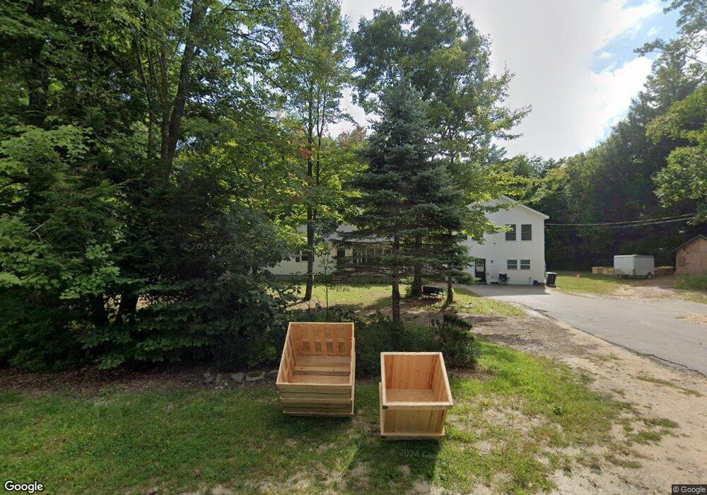
20 Allen Ave Buxton, ME 04093
Estimated Value: $487,000 - $720,000
3
Beds
2
Baths
1,196
Sq Ft
$465/Sq Ft
Est. Value
About This Home
This home is located at 20 Allen Ave, Buxton, ME 04093 and is currently estimated at $556,431, approximately $465 per square foot. 20 Allen Ave is a home located in York County with nearby schools including Bonny Eagle High School.
Ownership History
Date
Name
Owned For
Owner Type
Purchase Details
Closed on
Aug 19, 2005
Sold by
Chase Custom Hms & Finance
Bought by
Daniels Muny R and Daniels Peter J
Current Estimated Value
Home Financials for this Owner
Home Financials are based on the most recent Mortgage that was taken out on this home.
Original Mortgage
$232,750
Outstanding Balance
$47,409
Interest Rate
5.66%
Mortgage Type
Unknown
Estimated Equity
$509,022
Create a Home Valuation Report for This Property
The Home Valuation Report is an in-depth analysis detailing your home's value as well as a comparison with similar homes in the area
Home Values in the Area
Average Home Value in this Area
Purchase History
| Date | Buyer | Sale Price | Title Company |
|---|---|---|---|
| Daniels Muny R | -- | -- |
Source: Public Records
Mortgage History
| Date | Status | Borrower | Loan Amount |
|---|---|---|---|
| Open | Daniels Muny R | $232,750 |
Source: Public Records
Tax History Compared to Growth
Tax History
| Year | Tax Paid | Tax Assessment Tax Assessment Total Assessment is a certain percentage of the fair market value that is determined by local assessors to be the total taxable value of land and additions on the property. | Land | Improvement |
|---|---|---|---|---|
| 2024 | $5,286 | $481,000 | $101,800 | $379,200 |
| 2023 | $4,883 | $468,200 | $101,800 | $366,400 |
| 2022 | $4,796 | $468,400 | $101,800 | $366,600 |
| 2021 | $4,134 | $285,867 | $62,300 | $223,567 |
| 2020 | $4,168 | $285,867 | $62,300 | $223,567 |
| 2019 | $3,730 | $251,700 | $62,300 | $189,400 |
| 2018 | $3,559 | $251,700 | $62,300 | $189,400 |
| 2017 | $3,423 | $251,700 | $62,300 | $189,400 |
| 2016 | $3,285 | $251,700 | $62,300 | $189,400 |
| 2015 | $3,143 | $242,700 | $62,300 | $180,400 |
| 2014 | $2,927 | $230,500 | $62,300 | $168,200 |
| 2013 | $2,648 | $211,800 | $62,300 | $149,500 |
Source: Public Records
Map
Nearby Homes
- 125 Old Thompson Rd
- 866 Parker Farm Rd Unit A
- 866 Parker Farm Rd Unit B
- 30 Joan Dixon Way
- 14 Patrick Dr
- 22 Finn Parker Rd
- Lot 2 Commerce Way
- 47 Proprietors Rd
- 95 Skip Rd
- 17 Fox Track
- 62 Emery Cir
- 580 Bonny Eagle Rd
- 6 Sunrise St
- 00 Ossipee Trail E
- 21 Alexander Dr
- 135 Buck St
- 183 Buck St
- 116 Dingley Spring Rd
- 15 Winter St
- 207 Dunnell Rd
- 732 Parker Farm Rd
- 17 Allen Ave
- 25 Allen Ave
- 9 Allen Ave
- 0 Allen Ave
- 11 Allen Ave
- 720 Parker Farm Rd
- 35 Allen Ave
- 45 Mertie Dr
- 721 Parker Farm Rd
- 729 Parker Farm Rd
- 739 Parker Farm Rd
- 37 Mertie Dr
- 741 Parker Farm Rd
- 748 Parker Farm Rd
- 32 Davis Rd
- 49 Allen Ave
- 36 Mertie Dr
- 5.72 Acres Parker Farm Rd
- 754 Parker Farm Rd