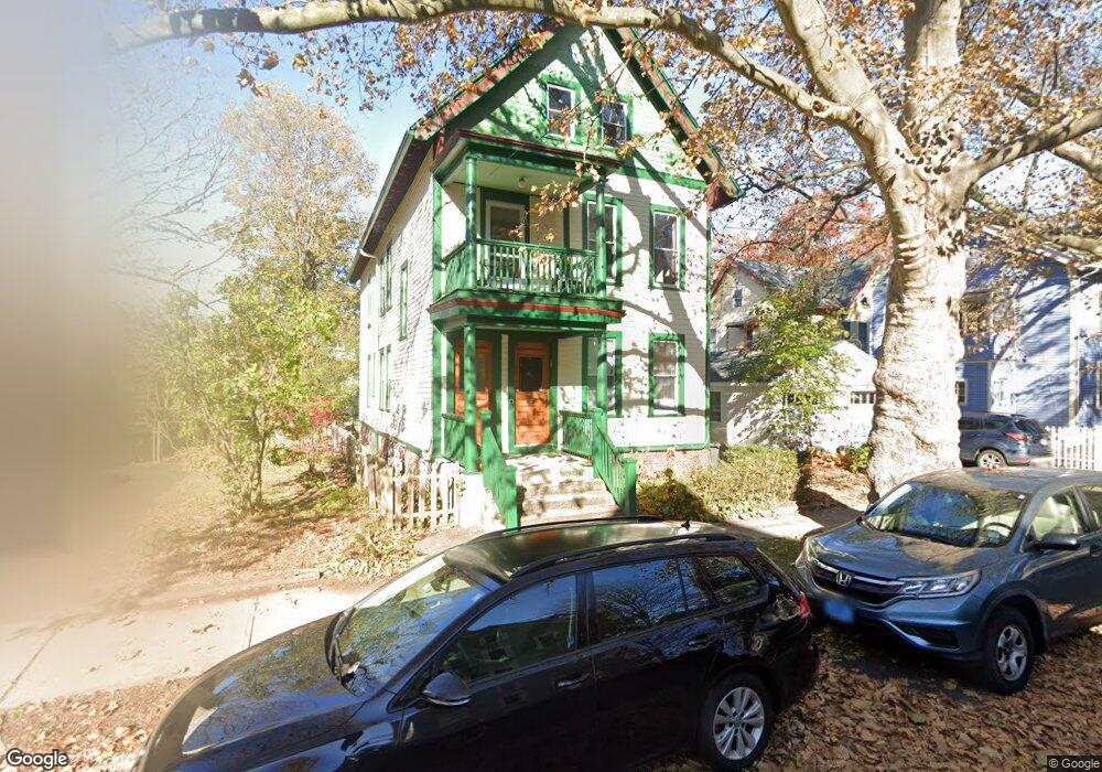
20 Anderson St New Haven, CT 06511
East Rock NeighborhoodEstimated Value: $736,327 - $894,000
4
Beds
2
Baths
1,794
Sq Ft
$447/Sq Ft
Est. Value
About This Home
This home is located at 20 Anderson St, New Haven, CT 06511 and is currently estimated at $802,082, approximately $447 per square foot. 20 Anderson St is a home located in New Haven County with nearby schools including Elm City College Preparatory School and The Foote School.
Ownership History
Date
Name
Owned For
Owner Type
Purchase Details
Closed on
Oct 23, 2023
Sold by
Delaney Hilary P and Delaney Sean
Bought by
Dragon Cove Llc
Current Estimated Value
Purchase Details
Closed on
Sep 1, 2010
Sold by
Delaney Hilary
Bought by
Delaney Hilary and Delaney Sean
Purchase Details
Closed on
Apr 13, 2009
Sold by
Bond Gilbert
Bought by
Delaney Hilary
Home Financials for this Owner
Home Financials are based on the most recent Mortgage that was taken out on this home.
Original Mortgage
$236,250
Interest Rate
4.94%
Mortgage Type
Purchase Money Mortgage
Purchase Details
Closed on
Apr 5, 1999
Sold by
Chappell Claire D
Bought by
Bond Gilbert I
Create a Home Valuation Report for This Property
The Home Valuation Report is an in-depth analysis detailing your home's value as well as a comparison with similar homes in the area
Home Values in the Area
Average Home Value in this Area
Purchase History
| Date | Buyer | Sale Price | Title Company |
|---|---|---|---|
| Dragon Cove Llc | -- | None Available | |
| Delaney Hilary | -- | -- | |
| Delaney Hilary | $317,500 | -- | |
| Bond Gilbert I | $112,500 | -- |
Source: Public Records
Mortgage History
| Date | Status | Borrower | Loan Amount |
|---|---|---|---|
| Previous Owner | Bond Gilbert I | $385,000 | |
| Previous Owner | Bond Gilbert I | $325,500 | |
| Previous Owner | Bond Gilbert I | $236,250 |
Source: Public Records
Tax History Compared to Growth
Tax History
| Year | Tax Paid | Tax Assessment Tax Assessment Total Assessment is a certain percentage of the fair market value that is determined by local assessors to be the total taxable value of land and additions on the property. | Land | Improvement |
|---|---|---|---|---|
| 2025 | $14,071 | $357,140 | $183,120 | $174,020 |
| 2024 | $13,750 | $357,140 | $183,120 | $174,020 |
| 2023 | $13,286 | $357,140 | $183,120 | $174,020 |
| 2022 | $14,196 | $357,140 | $183,120 | $174,020 |
| 2021 | $12,842 | $292,670 | $140,700 | $151,970 |
| 2020 | $12,842 | $292,670 | $140,700 | $151,970 |
| 2019 | $12,579 | $292,670 | $140,700 | $151,970 |
| 2018 | $12,579 | $292,670 | $140,700 | $151,970 |
| 2017 | $11,320 | $292,670 | $140,700 | $151,970 |
| 2016 | $9,831 | $236,600 | $108,150 | $128,450 |
| 2015 | $9,831 | $236,600 | $108,150 | $128,450 |
| 2014 | $9,831 | $236,600 | $108,150 | $128,450 |
Source: Public Records
Map
Nearby Homes
- 317 Willow St
- 106 Livingston St Unit A1
- 56 Nash St
- 496 Whitney Ave Unit 1C
- 148 Everit St Unit F
- 158 Cedar Hill Ave
- 185 Saint Ronan St
- 53 Rock St
- 1380 State St
- 1351 State St
- 549 Lombard St
- 464 Blatchley Ave
- 73 Main St
- 63 Park Rd
- 500 Prospect St Unit 1E
- 500 Prospect St Unit 4A
- 15 Alton St
- 30 Monroe St
- 22 Webb St
- 373 Blatchley Ave
- 18 Anderson St
- 60 Canner St
- 56 Canner St
- 56 Canner St Unit 2
- 64 Canner St
- 68 Canner St
- 16 Anderson St
- 70 Canner St
- 14 Anderson St
- 72 Canner St
- 52 Canner St
- 52 Canner St Unit 1
- 817 Orange St
- 19 Anderson St
- 19 Anderson St Unit B Utilities INC
- 19 Anderson St Unit 1
- 19 Anderson St Unit 2
- 21 Anderson St
- 74 Canner St Unit 1
- 17 Anderson St