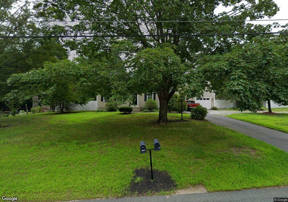
20 Andrew Ln Hanson, MA 02341
Estimated Value: $686,000 - $752,000
4
Beds
2
Baths
1,824
Sq Ft
$393/Sq Ft
Est. Value
About This Home
This home is located at 20 Andrew Ln, Hanson, MA 02341 and is currently estimated at $716,653, approximately $392 per square foot. 20 Andrew Ln is a home located in Plymouth County.
Ownership History
Date
Name
Owned For
Owner Type
Purchase Details
Closed on
Dec 29, 2011
Sold by
Pizzi Gary
Bought by
Virta Richard J
Current Estimated Value
Home Financials for this Owner
Home Financials are based on the most recent Mortgage that was taken out on this home.
Original Mortgage
$165,000
Outstanding Balance
$113,227
Interest Rate
4%
Mortgage Type
Purchase Money Mortgage
Estimated Equity
$603,426
Purchase Details
Closed on
Dec 28, 2010
Sold by
Cookson Joan L and Cookson Brian K
Bought by
Virta Dick and Pizzi Gary
Create a Home Valuation Report for This Property
The Home Valuation Report is an in-depth analysis detailing your home's value as well as a comparison with similar homes in the area
Home Values in the Area
Average Home Value in this Area
Purchase History
| Date | Buyer | Sale Price | Title Company |
|---|---|---|---|
| Virta Richard J | -- | -- | |
| Virta Dick | $155,000 | -- |
Source: Public Records
Mortgage History
| Date | Status | Borrower | Loan Amount |
|---|---|---|---|
| Open | Virta Richard J | $165,000 |
Source: Public Records
Tax History Compared to Growth
Tax History
| Year | Tax Paid | Tax Assessment Tax Assessment Total Assessment is a certain percentage of the fair market value that is determined by local assessors to be the total taxable value of land and additions on the property. | Land | Improvement |
|---|---|---|---|---|
| 2025 | $7,918 | $591,800 | $181,000 | $410,800 |
| 2024 | $7,689 | $574,700 | $175,800 | $398,900 |
| 2023 | $7,047 | $497,000 | $175,800 | $321,200 |
| 2022 | $6,819 | $451,900 | $159,800 | $292,100 |
| 2021 | $6,200 | $410,600 | $153,700 | $256,900 |
| 2020 | $6,113 | $400,300 | $148,400 | $251,900 |
| 2019 | $5,821 | $374,800 | $145,600 | $229,200 |
| 2018 | $5,756 | $363,600 | $140,000 | $223,600 |
| 2017 | $5,583 | $349,400 | $133,300 | $216,100 |
| 2016 | $5,627 | $340,000 | $133,300 | $206,700 |
| 2015 | $5,332 | $334,900 | $133,300 | $201,600 |
Source: Public Records
Map
Nearby Homes
- 134 Crescent St
- 456 Maquan St
- Lot 2 Harvard Rd
- Lot 6 Way
- 456 Gorwin Dr
- 269 Lakeside Rd
- 37 Brook St
- 57 Liberty St
- 248 E Washington St
- Lot 5 Princeton Way
- 418 E Washington St
- 22 Pondview Ave
- 23 Pondview Ave
- 8 Pinehurst Ave
- 842 E Washington St
- 479 Main St
- 255 Holmes St
- 33 Tavern Way
- 15 Elm Place
- 18 Wampatuck St