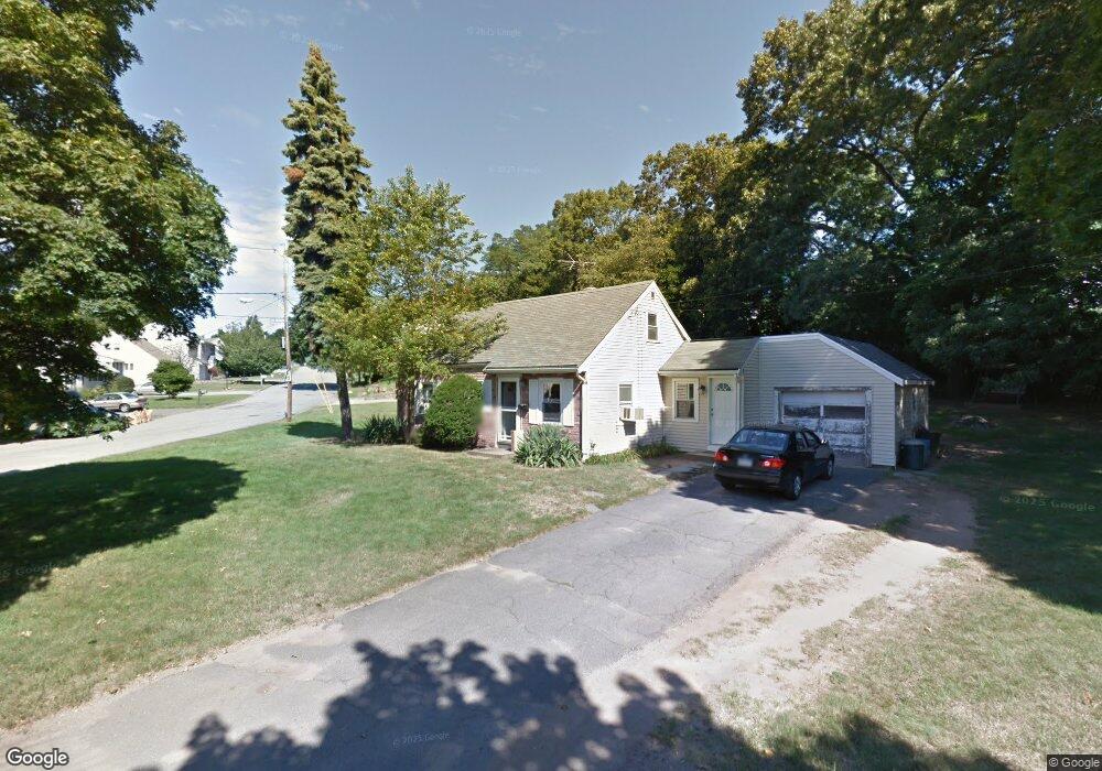
20 Anthony Rd Peabody, MA 01960
Estimated Value: $479,000 - $635,000
2
Beds
1
Bath
740
Sq Ft
$751/Sq Ft
Est. Value
About This Home
This home is located at 20 Anthony Rd, Peabody, MA 01960 and is currently estimated at $555,579, approximately $750 per square foot. 20 Anthony Rd is a home located in Essex County with nearby schools including Peabody Veterans Memorial High School and St John The Baptist School.
Ownership History
Date
Name
Owned For
Owner Type
Purchase Details
Closed on
Apr 24, 2007
Sold by
Daniels Beatrice L and Daniels Sandra M
Bought by
Henry John F
Current Estimated Value
Purchase Details
Closed on
Jul 19, 2004
Sold by
Daniels Beatrice L and Daniels Philip F Gdn
Bought by
Daniels Chester J
Create a Home Valuation Report for This Property
The Home Valuation Report is an in-depth analysis detailing your home's value as well as a comparison with similar homes in the area
Purchase History
| Date | Buyer | Sale Price | Title Company |
|---|---|---|---|
| Henry John F | $217,000 | -- | |
| Daniels Chester J | -- | -- |
Source: Public Records
Mortgage History
| Date | Status | Borrower | Loan Amount |
|---|---|---|---|
| Open | Daniels Chester J | $238,562 | |
| Closed | Daniels Chester J | $241,147 | |
| Closed | Daniels Chester J | $25,000 |
Source: Public Records
Tax History
| Year | Tax Paid | Tax Assessment Tax Assessment Total Assessment is a certain percentage of the fair market value that is determined by local assessors to be the total taxable value of land and additions on the property. | Land | Improvement |
|---|---|---|---|---|
| 2025 | $4,278 | $462,000 | $244,400 | $217,600 |
| 2024 | $3,924 | $430,300 | $244,400 | $185,900 |
| 2023 | $3,961 | $416,100 | $218,300 | $197,800 |
| 2022 | $3,854 | $381,600 | $194,900 | $186,700 |
| 2021 | $3,646 | $347,600 | $177,200 | $170,400 |
| 2020 | $3,143 | $292,600 | $177,200 | $115,400 |
| 2019 | $3,105 | $282,000 | $177,200 | $104,800 |
| 2018 | $2,820 | $246,100 | $161,100 | $85,000 |
| 2017 | $2,548 | $216,700 | $161,100 | $55,600 |
| 2016 | $2,627 | $220,400 | $161,100 | $59,300 |
| 2015 | $2,887 | $234,700 | $157,100 | $77,600 |
Source: Public Records
Map
Nearby Homes
- 4R Forest St
- 233 Lowell St Unit 1
- 55 Hawthorne Cir
- 500 Northshore Rd Unit 6B
- 23 Tamarack Ln Unit 23
- 38-1/2 Ellsworth Rd
- 158 Lowell St Unit 4
- 21 Olsen Rd
- 10 Crowninshield St Unit 303
- 6 Rear Perkins St
- 8 Crowninshield St Unit 410
- 4 Price Rd
- 111 Foster St Unit 416
- 98 Foster St
- 80 Foster St Unit 501
- 80 Foster St Unit 507
- 64 Foster St Unit 403
- 15 Swampscott Ave
- 16 Tremont St
- 10 Park St
Your Personal Tour Guide
Ask me questions while you tour the home.