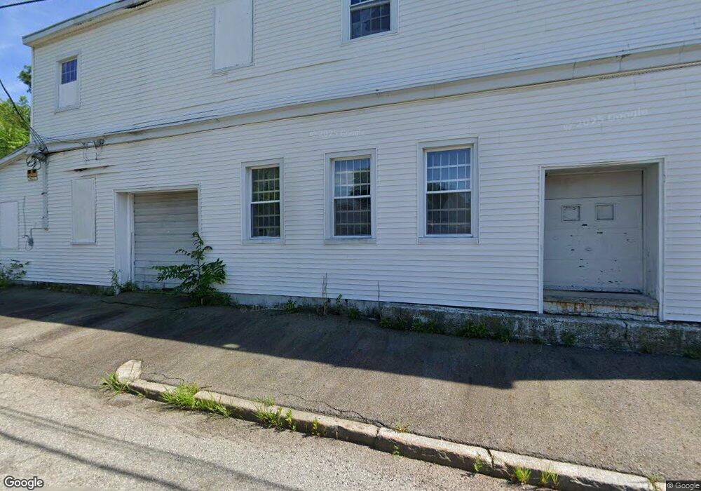
20 Arch St Lowell, MA 01851
Lower Highlands NeighborhoodEstimated Value: $551,108
Studio
--
Bath
4,420
Sq Ft
$125/Sq Ft
Est. Value
About This Home
This home is located at 20 Arch St, Lowell, MA 01851 and is currently estimated at $551,108, approximately $124 per square foot. 20 Arch St is a home located in Middlesex County with nearby schools including Abraham Lincoln Elementary School, Charles W. Morey Elementary School, and Charlotte M. Murkland Elementary School.
Ownership History
Date
Name
Owned For
Owner Type
Purchase Details
Closed on
Nov 18, 2010
Sold by
Opara Ft and Opara
Bought by
Alex Kelsey Llc
Current Estimated Value
Purchase Details
Closed on
May 12, 2008
Sold by
Opara Benjamin T
Bought by
Opara Ft and Opara
Home Financials for this Owner
Home Financials are based on the most recent Mortgage that was taken out on this home.
Original Mortgage
$300,000
Interest Rate
5.93%
Mortgage Type
Commercial
Purchase Details
Closed on
Oct 27, 2006
Sold by
Anastasios Ft and Ballos
Bought by
Opara Benjamin
Home Financials for this Owner
Home Financials are based on the most recent Mortgage that was taken out on this home.
Original Mortgage
$216,000
Interest Rate
6.48%
Mortgage Type
Commercial
Create a Home Valuation Report for This Property
The Home Valuation Report is an in-depth analysis detailing your home's value as well as a comparison with similar homes in the area
Home Values in the Area
Average Home Value in this Area
Purchase History
| Date | Buyer | Sale Price | Title Company |
|---|---|---|---|
| Alex Kelsey Llc | $95,000 | -- | |
| Alex Kelsey Llc | $95,000 | -- | |
| Opara Ft | -- | -- | |
| Opara Ft | -- | -- | |
| Opara Ft | -- | -- | |
| Opara Benjamin | $270,000 | -- | |
| Opara Benjamin | $270,000 | -- |
Source: Public Records
Mortgage History
| Date | Status | Borrower | Loan Amount |
|---|---|---|---|
| Previous Owner | Opara Ft | $300,000 | |
| Previous Owner | Opara Benjamin | $216,000 | |
| Previous Owner | Opara Benjamin | $5,500 |
Source: Public Records
Tax History
| Year | Tax Paid | Tax Assessment Tax Assessment Total Assessment is a certain percentage of the fair market value that is determined by local assessors to be the total taxable value of land and additions on the property. | Land | Improvement |
|---|---|---|---|---|
| 2025 | $7,818 | $349,500 | $123,300 | $226,200 |
| 2024 | $6,916 | $297,200 | $117,400 | $179,800 |
| 2023 | $6,555 | $269,100 | $106,700 | $162,400 |
| 2022 | $0 | $266,200 | $106,700 | $159,500 |
| 2021 | $0 | $237,800 | $92,800 | $145,000 |
| 2020 | $6,366 | $237,800 | $92,800 | $145,000 |
| 2019 | $0 | $232,000 | $92,800 | $139,200 |
| 2018 | $0 | $224,700 | $88,400 | $136,300 |
| 2017 | $0 | $218,900 | $88,400 | $130,500 |
| 2016 | -- | $213,100 | $88,400 | $124,700 |
| 2015 | -- | $252,900 | $88,400 | $164,500 |
| 2013 | $7,273 | $257,300 | $98,200 | $159,100 |
Source: Public Records
Map
Nearby Homes
- 45 Marshall St
- 491 Dutton St Unit 305
- 491 Dutton St Unit 409
- 491 Dutton St Unit 504
- 191 Thorndike St Unit 26
- 201 Thorndike St Unit 501
- 201 Thorndike St Unit 2-312
- 201 Thorndike St Unit 505
- 143 Westford St
- 278-316 Middlesex St
- 42 Branch St
- 68 Smith St
- 95 S Highland St
- 200 Market St Unit 3010
- 200 Market St Unit 44B
- 200 Market St Unit 619
- 200 Market St Unit 3513
- 200 Market St Unit 3308
- 200 Market St Unit 115
- 200 Market St Unit 501
Your Personal Tour Guide
Ask me questions while you tour the home.