20 Arthur Matthew Dr Hanover, MA 02339
Estimated Value: $884,000 - $1,022,000
4
Beds
3
Baths
2,334
Sq Ft
$410/Sq Ft
Est. Value
About This Home
This home is located at 20 Arthur Matthew Dr, Hanover, MA 02339 and is currently estimated at $956,838, approximately $409 per square foot. 20 Arthur Matthew Dr is a home located in Plymouth County with nearby schools including Hanover High School, Cadence Academy Preschool - Hanover, and Cardinal Cushing Centers.
Ownership History
Date
Name
Owned For
Owner Type
Purchase Details
Closed on
Mar 11, 2024
Sold by
Johnston John J and Johnston Theresa C
Bought by
Johnston Family Protectio and Johnston
Current Estimated Value
Purchase Details
Closed on
Oct 7, 1995
Sold by
William F Baldwin T F and William Baldwin
Bought by
Johnston John J and Johnston Theresa C
Home Financials for this Owner
Home Financials are based on the most recent Mortgage that was taken out on this home.
Original Mortgage
$156,000
Interest Rate
7.86%
Mortgage Type
Purchase Money Mortgage
Create a Home Valuation Report for This Property
The Home Valuation Report is an in-depth analysis detailing your home's value as well as a comparison with similar homes in the area
Home Values in the Area
Average Home Value in this Area
Purchase History
| Date | Buyer | Sale Price | Title Company |
|---|---|---|---|
| Johnston Family Protectio | -- | None Available | |
| Johnston Family Protectio | -- | None Available | |
| Johnston John J | $220,000 | -- | |
| Johnston John J | $220,000 | -- |
Source: Public Records
Mortgage History
| Date | Status | Borrower | Loan Amount |
|---|---|---|---|
| Previous Owner | Johnston John J | $200,000 | |
| Previous Owner | Johnston John J | $102,112 | |
| Previous Owner | Johnston John J | $156,000 |
Source: Public Records
Tax History Compared to Growth
Tax History
| Year | Tax Paid | Tax Assessment Tax Assessment Total Assessment is a certain percentage of the fair market value that is determined by local assessors to be the total taxable value of land and additions on the property. | Land | Improvement |
|---|---|---|---|---|
| 2025 | $10,369 | $839,600 | $339,600 | $500,000 |
| 2024 | $10,155 | $790,900 | $339,600 | $451,300 |
| 2023 | $9,577 | $709,900 | $309,300 | $400,600 |
| 2022 | $9,338 | $612,300 | $258,400 | $353,900 |
| 2021 | $8,177 | $565,200 | $235,300 | $329,900 |
| 2020 | $7,889 | $550,500 | $235,300 | $315,200 |
| 2019 | $8,696 | $529,900 | $235,300 | $294,600 |
| 2018 | $8,150 | $500,600 | $235,300 | $265,300 |
| 2017 | $8,286 | $501,600 | $240,500 | $261,100 |
| 2016 | $7,993 | $474,100 | $218,900 | $255,200 |
| 2015 | $7,973 | $493,700 | $238,500 | $255,200 |
Source: Public Records
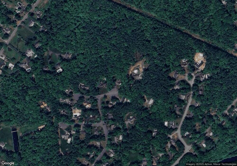
Map
Nearby Homes
- 114 Graham Hill Dr
- 180 Elm St
- Lot 22 Adams Cir
- 186 Elm St
- 436 Center St
- 7 Farmside Dr
- 51 Cervelli Farm Dr
- 37 Dr
- 23 Cervelli Farm Dr
- 38 Cervelli Farm Dr
- 9 Cervelli Farm Dr
- 250 Center St
- 285 W Elm St
- 1251 Broadway
- 41 Gail Rd
- 553 Center St
- 15 Elm Place
- 842 E Washington St
- 136 W Elm St
- 14 Longwood Ln Unit 14
- 16 Arthur Matthew Dr
- 23 Arthur Matthew Dr
- 40 Arthur Matthew Dr
- 111 Graham Hill Dr
- 33 Arthur Matthew Dr
- 99 Graham Hill Dr
- 49 Arthur Matthew Dr
- 371 Water St
- 11 Sharon Dr
- 89 Graham Hill Dr
- 25 Sharon Dr
- 45 Arthur Matthew Dr
- 46 Arthur Matthew Dr
- 90 Graham Hill Dr
- 74 Saltwind Dr
- 816 Broadway
- 75 Graham Hill Dr
- 20 Sharon Dr
- 70 Saltwind Dr
- 39 Sharon Dr