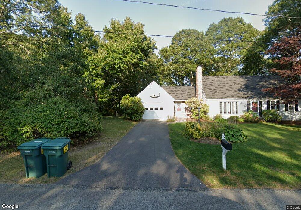
20 Audubon Cir Centerville, MA 02632
Centerville NeighborhoodEstimated Value: $639,000 - $655,000
About This Home
This home is located at 20 Audubon Cir, Centerville, MA 02632 and is currently estimated at $647,864, approximately $354 per square foot. 20 Audubon Cir is a home located in Barnstable County with nearby schools including Centerville Elementary School, Barnstable United Elementary School, and Barnstable Intermediate School.
Ownership History
We collect this data history from publicly available records. To have your information removed, we recommend requesting removal directly through your county’s website.
Purchase Details
Purchase Details
Home Values in the Area
Average Home Value in this Area
Purchase History
We collect this data history from publicly available records. To have your information removed, we recommend requesting removal directly through your county’s website.
| Date | Buyer | Sale Price | Title Company |
|---|---|---|---|
| $155,900 | -- | ||
| $152,500 | -- |
Mortgage History
We collect this data history from publicly available records. To have your information removed, we recommend requesting removal directly through your county’s website.
| Date | Status | Borrower | Loan Amount |
|---|---|---|---|
| Open | $130,000 | ||
| Closed | $130,000 | ||
| Closed | $82,000 | ||
| Closed | $60,000 | ||
| Closed | $155,000 | ||
| Closed | $171,600 | ||
| Closed | $49,000 | ||
| Closed | $90,000 |
Tax History
We collect this data history from publicly available records. To have your information removed, we recommend requesting removal directly through your county’s website.
| Year | Tax Paid | Tax Assessment Tax Assessment Total Assessment is a certain percentage of the fair market value that is determined by local assessors to be the total taxable value of land and additions on the property. | Land | Improvement |
|---|---|---|---|---|
| 2025 | $4,646 | $574,300 | $151,900 | $422,400 |
| 2024 | $4,313 | $552,300 | $151,900 | $400,400 |
| 2023 | $4,118 | $493,800 | $138,100 | $355,700 |
| 2022 | $3,909 | $405,500 | $102,300 | $303,200 |
| 2021 | $3,795 | $361,800 | $102,300 | $259,500 |
| 2020 | $3,840 | $350,400 | $102,300 | $248,100 |
| 2019 | $3,646 | $323,200 | $102,300 | $220,900 |
| 2018 | $3,295 | $293,700 | $107,700 | $186,000 |
| 2017 | $3,064 | $284,800 | $107,700 | $177,100 |
| 2016 | $3,115 | $285,800 | $108,700 | $177,100 |
| 2015 | $3,063 | $282,300 | $105,400 | $176,900 |
Map
- 38 White Oak Trail
- 195 Knotty Pine Ln
- 1115 Shootflying Hill Rd
- 17 Outpost Ln
- 66 Tern Ln
- 39 Indian Trail
- 3 Yacht Club Rd
- 179 Sheaffer Rd
- 49 Powderhorn Way
- 20 Shannon Way
- 35 Stoney Cliff Rd
- 302 Ames Way
- 1309 Shootflying Hill Rd
- 169 Cedric Rd
- 17 Hadrada Ln
- 48 Bridgets Path
- 105 Hillside Dr
- 53 Hadrada Ln
- 536 Skunknet Rd
- 562 Skunknet Rd
- 26 Thoreau Dr
- 10 Audubon Cir
- 735 Old Stage Rd
- 8 Thoreau Dr
- 27 Thoreau Dr
- 37 Thoreau Dr
- 725 Old Stage Rd
- 9 Thoreau Dr
- 763 Old Stage Rd
- 19 Thoreau Dr
- 47 Thoreau Dr
- 56 Thoreau Dr
- 715 Old Stage Rd
- 370 Buckskin Path
- 30 Audubon Cir
- 740 Old Stage Rd
- 773 Old Stage Rd
- 382 Buckskin Path
- 57 Thoreau Dr
- 360 Buckskin Path
Ask me questions while you tour the home.